Borovlje / Ferlach - Matzen
Starting point: Borovlje / Ferlach (466 m)
Starting point Lat/Lon: 46.5318°N 14.3135°E 
Time of walking: 4 h
Difficulty: difficult marked way
Difficulty of skiing: no data
Altitude difference: 1161 m
Altitude difference (by path): 1200 m
Map: Karavanke - osrednji del 1:50.000
Access to starting point:
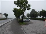
Over the Ljubelj border crossing we drive to Austria, and then we drive on the main road towards Celovec / Klagenfurt, but only to the settlement Podljubelj / Unterloibl, where we continue right in the direction of the Hofer store and police. Lower down we arrive in Borovlje / Ferlach, where we cross a railway track, and a little further we go right towards the settlement Bajdiše / Waidisch. The path ahead leads us past the Eurospar store, and we follow the main road to the settlement Dolje / Doliach (the settlement is located in Borovlje), where we turn left towards the nearby cemetery, to which we arrive after a few hundred meters of additional driving and where we park on a larger parking lot.
Path description:
From the cemetery we return on the road to the church in Dolje, where we notice the first yellow mountain signposts for Macna / Matzen, which point us on a side road which continues towards the east. The road ends at the last houses, and we continue on a marked footpath which lightly descends to Bajdiška Borovnica / Waidischbach, and then it continues parallel with the stream for a short time. A little lower over a longer wooden bridge we cross the stream and on the other side, we follow the blazes to a macadam road which we follow to the left. The road quickly brings us to a smaller crossroad, where we go sharply right, and a little after the nearby gate we go left on a marked footpath which brings us to another road. We once again go right, and then blazes lead us on a forest footpath which at first moderately and higher steeply ascends, meanwhile crossing a few cart tracks. After a smaller spring we also cross a fence, and then the path flattens and a little further we arrive at the former farm Korenjak, which is situated in the village Rute / Rauth.
From the farm, where there still stands a well-maintained house from the year 1490, we continue on the macadam road which a little higher brings us to a partly abandoned holiday cottage, after which the path goes from the road left. After a short ascent, we quickly join another road which we follow to the right, and right below us we notice a smaller lake.
We walk on the road to the nearby crossroad, where we only cross a somewhat wider macadam road, and then we continue the ascent on the mountain path, which higher crosses the macadam road a few more times. At an altitude of approximately 1120 m we once again step on the road, where there are a chapel and a cross, a few steps to the left, at the small cottage where an emergency bivouac is arranged, from a viewpoint a nice view opens up towards the west, where we see Karawanks, Drava valley, and with good visibility the view reaches all the way to the Julian and Gailtal Alps.
At the chapel, we again leave the road, which a little further we cross for the last time. A little higher we reach a cart track which we follow to the left, and it quickly ends, and further we ascend on a steep path which leads through the forest. Higher, we transitionally reach the northeastern ridge of Macna, from which the path soon withdraws a little to the right. When a few minutes higher, we again reach the ridge, past a larger chapel we quickly arrive at the church of St. Anne, from which a beautiful view also opens up towards the east.
Behind the church of St. Anne we continue slightly right (slightly left path, which bypasses the summit of Macna) and we ascend through the forest onto the ridge of Macna. The path ahead continues on a partly vegetated ridge and at first only gently ascends. A short steep ascent follows, where from the right side of the ridge we pass to the left side, and then for some time we cross the slopes, but soon we return to the ridge, which we reach at a sort of notch. Here to the right branches off a short secured, but not too difficult path to the side subpeak of Macna, from which a nice view opens up. The marked path, which continues towards Macna, does not turn onto the mentioned subpeak, but continues slightly left, where we first ascend with the help of a steel cable, then the path flattens and turns left onto steep slopes. Even over the steep section a steel cable helps us, and at the end of the traverse the path turns right and along the steel cable begins to ascend very steeply. The steep section is short, as the path quickly brings us to the cross on the northern subpeak of Macna. Here the path turns left and through a slightly vegetated ridge quickly brings us to the highest and unvegetated summit of Macna.
Borovlje - Korenjak 1:20, Korenjak - bivak 1:00, bivak - sv. Ana 1:10, sv. Ana - Macna 0:30.
Description and pictures refer to the condition in 2019 (May).
On the way: Rute / Rauth (Korenjak) (780m), Bivak (1120m), Sveta Ana (Macna) / St. Anna (Matzen) (1536m)
Pictures:
 1
1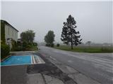 2
2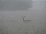 3
3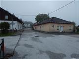 4
4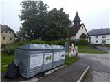 5
5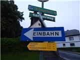 6
6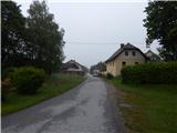 7
7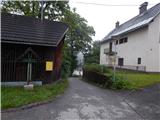 8
8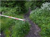 9
9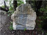 10
10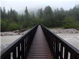 11
11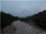 12
12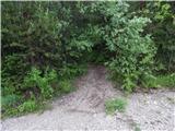 13
13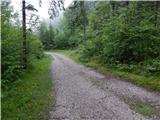 14
14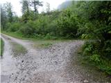 15
15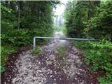 16
16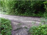 17
17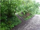 18
18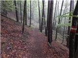 19
19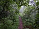 20
20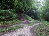 21
21 22
22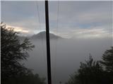 23
23 24
24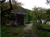 25
25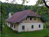 26
26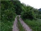 27
27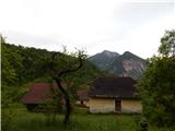 28
28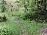 29
29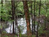 30
30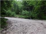 31
31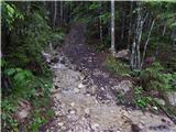 32
32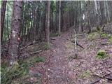 33
33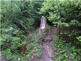 34
34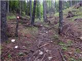 35
35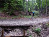 36
36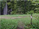 37
37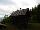 38
38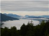 39
39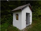 40
40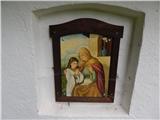 41
41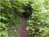 42
42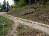 43
43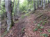 44
44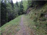 45
45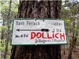 46
46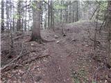 47
47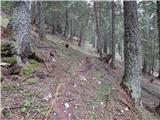 48
48 49
49 50
50 51
51 52
52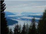 53
53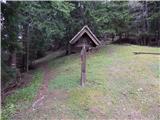 54
54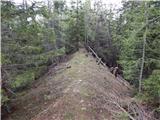 55
55 56
56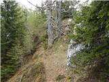 57
57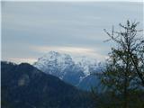 58
58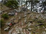 59
59 60
60 61
61 62
62 63
63 64
64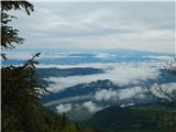 65
65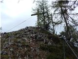 66
66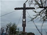 67
67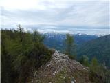 68
68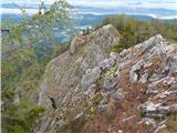 69
69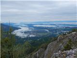 70
70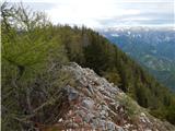 71
71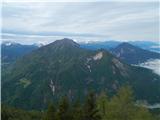 72
72 73
73 74
74 75
75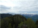 76
76