Borovnica - Planina nad Borovnico (Češnjeva pot)
Starting point: Borovnica (298 m)
Starting point Lat/Lon: 45.92095°N 14.36748°E 
Path name: Češnjeva pot
Time of walking: 55 min
Difficulty: easy unmarked way
Difficulty of skiing: no data
Altitude difference: 431 m
Altitude difference (by path): 431 m
Map:
Access to starting point:
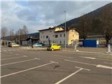
From highway Ljubljana - Koper we go to the exit Vrhnika and we follow the road ahead in the direction of Bistra and Borovnica. In Borovnica, before the remains of the Borovnica viaduct, we turn left and continue straight to the P+R Borovnica parking lot at the railway station.
Path description:
From the parking lot P+R Borovnica at the signpost, we head toward railway guardhouse number 666 on the asphalt road past Borovnica railway station and then follow the cart track, descending to the tunnel.
At the signpost for guardhouse 666, we turn right into the tunnel, through which we pass under the railway. On the other side, we ascend concrete stairs and join a narrower asphalt road, where past another signpost for the guardhouse, we turn right and follow the road. After less than 100 meters, another signpost for the guardhouse awaits, below which is a very worn wooden board with the inscription path "Češnjeva pot". Here, we turn left onto a footpath, passing houses as we ascend to a macadam road. On the left, we now see the guardhouse, and a bit further uphill ahead, a small sign warns that we are entering a bear area. Above it is a wooden board with a cherry symbol, marking the path Češnjeva pot.
Here, we join a logging trail and, to the left above the guardhouse, continue with a moderate ascent along the logging trail. We enter the forest, with Borovnica situated below us on the left side. After a few hundred meters, we reach a junction, where we turn right, then soon left, and after about 10 meters, turn right again. We continue a short distance on an ascending forest path and then, at a junction by a tree, turn right again onto the path Češnjeva pot. On the forest path, we then ascend more steeply above Borovnica, which is now on our right side. We follow the cherry symbols on wooden boards, with the ascent remaining steep almost to the end. When we reach the ridge, we continue right along the ridge and soon spot a box with a stamp. The peak (729 meters) is 20 meters further ahead. If we continue along the ridge path for about 300 meters, we reach the second peak (736 meters), where there is only a pile of stones.
The description and pictures refer to the condition at the beginning of February 2024.
Pictures:
 1
1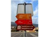 2
2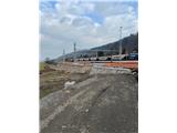 3
3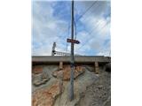 4
4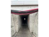 5
5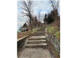 6
6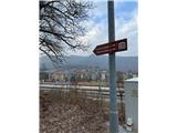 7
7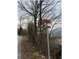 8
8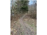 9
9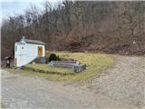 10
10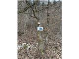 11
11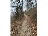 12
12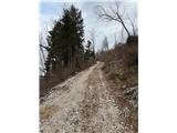 13
13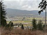 14
14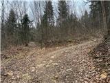 15
15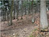 16
16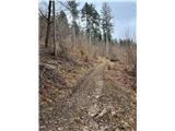 17
17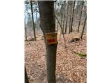 18
18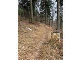 19
19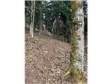 20
20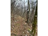 21
21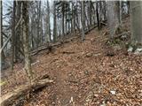 22
22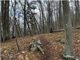 23
23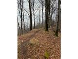 24
24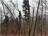 25
25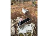 26
26 27
27 28
28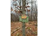 29
29