Bottom station of cableway on Krvavec - Kriška planina (over Davovec and on ridge of Trdovnik)
Starting point: Bottom station of cableway on Krvavec (602 m)
Starting point Lat/Lon: 46.2849°N 14.4968°E 
Path name: over Davovec and on ridge of Trdovnik
Time of walking: 3 h
Difficulty: partly demanding marked way
Difficulty of skiing: no data
Altitude difference: 878 m
Altitude difference (by path): 900 m
Map: Kamniške in Savinjske Alpe 1:50.000
Access to starting point:
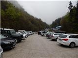
A) From highway Ljubljana - Jesenice we go to the exit Vodice, and then we continue driving to a first traffic light crossroad in Vodice, where we continue left in the direction of Cerklje na Gorenjskem and Brnik. When we get to the main roundabout in Spodnji Brnik we continue driving in the direction of Cerklje and ski slope Krvavec. At the end of the settlement Cerklje na Gorenjskem we leave the main road which continues towards Velesovo and Visoko and we continue driving slightly right on a road in the direction of the ski slope Krvavec. We park on a big settled parking lot by the bottom station of the cable car on Krvavec.
B) From highway Jesenice - Ljubljana we go to the exit Kranj - east, and then we continue driving towards Brnik, Komenda and Mengeš. When we get to the main roundabout in Spodnji Brnik we continue driving in the direction of Cerklje and ski slope Krvavec. At the end of the settlement Cerklje na Gorenjskem we leave the main road which continues towards Velesovo and Visoko and we continue driving slightly right on a road in the direction of the ski slope Krvavec. We park on a big settled parking lot by the bottom station of the cable car on Krvavec.
Path description:
From the bottom station of the cable car on Krvavec we continue on the asphalt road towards Štefanja Gora, and there we walk to the first left turn, in the middle of which marked path, at first rough road towards Krvavec branches off to the right. The worse road, on which we continue the ascent is ascending on the right bank of Reka, and a little higher, at the marked crossing we continue left in the direction of Davovec and the upper station of the cableway. Next follows a short steeper ascent, and then we reach the cart track which we follow to the left. Further cart track is becoming worse, and we continue on a forest path, which on parts runs on the same route as cycling "downhill" track, therefore a little more caution is needed. Higher from the marked path, marked path branches off to the right towards memory park Davovec, and we continue left and after few minutes of additional ascent, we get to an abandoned house and behind it also to ruins and information board. Here another path branches off to the right towards the before mentioned park, and we continue straight on wider and further also quite steep path, which we follow all the way to a saddle Davovec, where we step on a wide cart track.
When we step on the cart track, we continue right in the direction of Krvavec. On marked path towards Krvavec we walk few minutes, after that at partisan monument we leave the marked path and we continue on a cart track which a little higher splits into two parts.
We continue on the right cart track (on left we return on a marked path towards Krvavec) in the direction of the path second detachment group and Kriška planina. On the cart track, we walk diagonally towards the right, and then after route of the cable car for some time we ascend a little more. Some 10 meters further from the left turn, where the cart track flattens, the footpath branches off to the left, by which we will further notice signs in the shape of red star (on the right cart track we quickly get to the nearby water catchment). Further, we at first cross partly overgrown clearing, from which a view opens up a little towards Gorenjska, and then the path passes into the forest, where at first leads by site of wild garlic and past a smaller well. Next follows a short crossing on a less steep slope, and then we reach forest broad ridge, after which slope becomes quite steep. Next follows traversing, where we get help from some sort of fixed safety gear, which are on the bottom side of slope, so that they serve more as a fence. Slope soon becomes a bit less steep, and the footpath is still poorly visible and the right path is shown by red stars. Next follows traversing of Srednji graben, and then we start ascending diagonally towards the ridge of Trdovnik. Also further we follow red stars, here and there some have also gold-yellow border. A worse footpath, by which there are situated also some cairns, diagonally on a steep slope brings us on the ridge of Trdovnik, where we reach easier to follow footpath which comes from Lukenjski graben.
When we reach the ridge "blazes" in the shape of red stars end, and we are further ascending on a distinct ridge. For some time we are ascending relatively steeply on a forested ridge of Trdovnik, and then we step on a cart track which turns left, and on first crossing we continue right. On the cart track, we quickly come out of the forest, and the path few 10 strides ahead, at smaller hunting observatory splits into two parts.
We continue left in the direction of Kriška planina (straight mountain pasture Jezerca) and after a shorter gentle ascent we reach the road which runs towards the upper station of the cable car on Krvavec. The mentioned road, we reach right at the smaller crossroad, from which we continue straight upwards in the direction of the mountain dairy Pr Florjan and tourist farm Viženčar. Next follows a short steeper ascent and we get to Kriška planina, where there are situated mentioned two mountain dairies.
Description and pictures refer to a condition in the year 2016 (April and May).
On the way: Sedlo Davovec (932m)
Trip can be extended to: Planina Koren
,
Dom na Krvavcu
,
Planina Dolga njiva (Krvavec)
,
Planina Košutna
,
Krvavec
,
Mokrica
,
Veliki Zvoh
,
Košutna
,
Kompotela
,
Vrh Korena
,
Kalška gora
,
Kalški greben
Pictures:
 1
1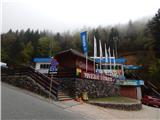 2
2 3
3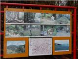 4
4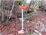 5
5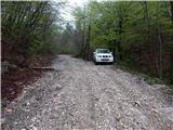 6
6 7
7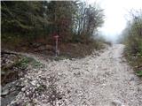 8
8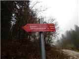 9
9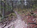 10
10 11
11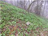 12
12 13
13 14
14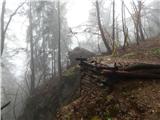 15
15 16
16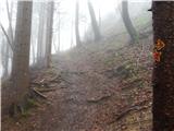 17
17 18
18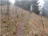 19
19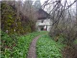 20
20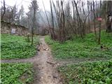 21
21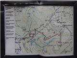 22
22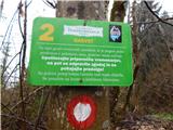 23
23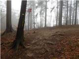 24
24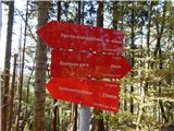 25
25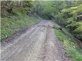 26
26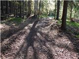 27
27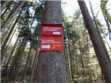 28
28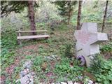 29
29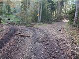 30
30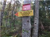 31
31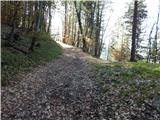 32
32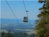 33
33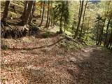 34
34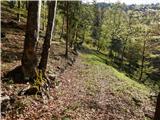 35
35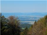 36
36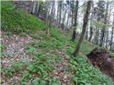 37
37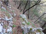 38
38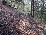 39
39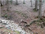 40
40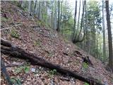 41
41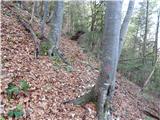 42
42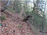 43
43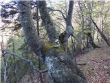 44
44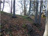 45
45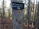 46
46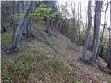 47
47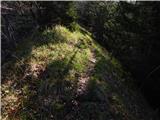 48
48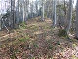 49
49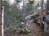 50
50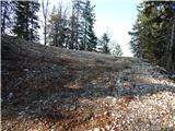 51
51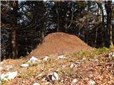 52
52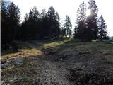 53
53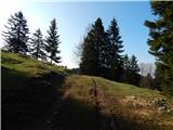 54
54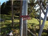 55
55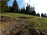 56
56 57
57 58
58 59
59 60
60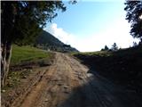 61
61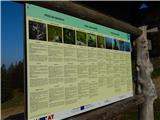 62
62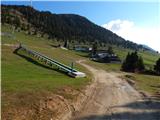 63
63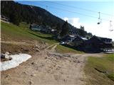 64
64 65
65