Bottom station of cableway on Krvavec - Kriška planina (via Lukenjski graben)
Starting point: Bottom station of cableway on Krvavec (602 m)
Starting point Lat/Lon: 46.2849°N 14.4968°E 
Path name: via Lukenjski graben
Time of walking: 2 h 45 min
Difficulty: easy unmarked way
Difficulty of skiing: no data
Altitude difference: 878 m
Altitude difference (by path): 890 m
Map: Kamniške in Savinjske Alpe 1:50.000
Access to starting point:
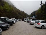
A) From highway Ljubljana - Jesenice we go to the exit Vodice, and then we continue driving to a first traffic light crossroad in Vodice, where we continue left in the direction of Cerklje na Gorenjskem and Brnik. When we get to the main roundabout in Spodnji Brnik we continue driving in the direction of Cerklje and ski slope Krvavec. At the end of the settlement Cerklje na Gorenjskem we leave the main road which continues towards Velesovo and Visoko and we continue driving slightly right on a road in the direction of the ski slope Krvavec. We park on a big settled parking lot by the bottom station of the cable car on Krvavec.
B) From highway Jesenice - Ljubljana we go to the exit Kranj - east, and then we continue driving towards Brnik, Komenda and Mengeš. When we get to the main roundabout in Spodnji Brnik we continue driving in the direction of Cerklje and ski slope Krvavec. At the end of the settlement Cerklje na Gorenjskem we leave the main road which continues towards Velesovo and Visoko and we continue driving slightly right on a road in the direction of the ski slope Krvavec. We park on a big settled parking lot by the bottom station of the cable car on Krvavec.
Path description:
From the bottom station of the cable car on Krvavec we continue on the asphalt road towards Štefanja Gora, and there we walk to the first left turn, in the middle of which marked path, at first rough road towards Krvavec branches off to the right. Rough road, on which we continue the ascent is ascending on the right bank of Reka, and from there soon marked path which leads on Krvavec branches off to the left, and we continue straight, on a cart track which is then ascending through a ditch Lukenjski graben. At some crossings we follow the main cart track, and higher views start to open up, which reaches all the way to Triglav. Cart track further becomes quite rocky, when higher brings us to extensive gravel terrain, we continue right on a macadam road, on which we gently ascend towards the right and then we gradually leave Lukenjski graben. When a little ahead we reach the ridge of the hill Požeg (1076 meters) road turns sharply to the left, after that few minutes ahead joins an asphalt road which leads towards Krvavec. On the mentioned road, we in few minutes ascend to tourist farm pr Ambružarju, from where a beautiful view opens up on Gorenjska.
From the tourist farm we return to the main road, and from there we continue few steps ahead left on the path in the direction of Krvavec. The path ahead leads us by site of wild garlic, and higher crosses the asphalt road. After quite steep ascent, which mostly runs through the forest, we once again get very close to the road or for few steps we also reach it. We immediately continue right in the direction of the mountain pasture Jezerca and we are gently to moderately ascending. We quickly reach the cart track, on which we step out of the forest on the mountain pasture Jezerca, where there are some wooden cottages.
We continue past few cottages, and then behind the cottages from the left joins the path from a large marked parking lot by mountain pasture Jezerca. We continue in the direction of Kriška planina, on a path, which at first with nice views, after that partly through the forest brings us to the bottom part of the mountain pasture Kriška planina, from where we can ascend also to one of the shepherd huts on the mountain pasture.
Description and pictures refer to a condition in the year 2016 (April and May).
Trip can be extended to: Planina Koren
,
Dom na Krvavcu
,
Planina Dolga njiva (Krvavec)
,
Planina Košutna
,
Krvavec
,
Mokrica
,
Veliki Zvoh
,
Košutna
,
Kompotela
,
Vrh Korena
,
Kalška gora
,
Kalški greben
Pictures:
 1
1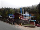 2
2 3
3 4
4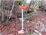 5
5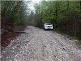 6
6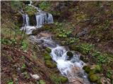 7
7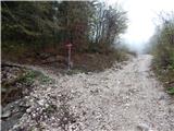 8
8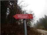 9
9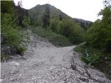 10
10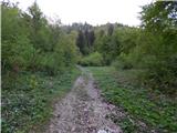 11
11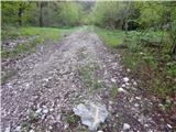 12
12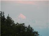 13
13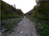 14
14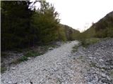 15
15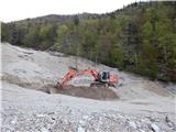 16
16 17
17 18
18 19
19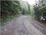 20
20 21
21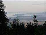 22
22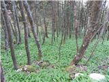 23
23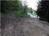 24
24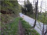 25
25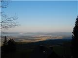 26
26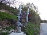 27
27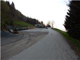 28
28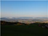 29
29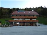 30
30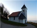 31
31 32
32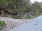 33
33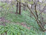 34
34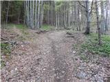 35
35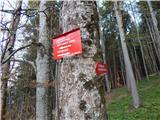 36
36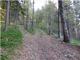 37
37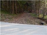 38
38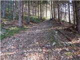 39
39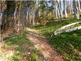 40
40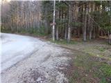 41
41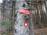 42
42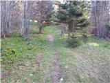 43
43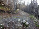 44
44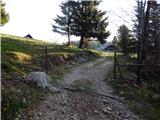 45
45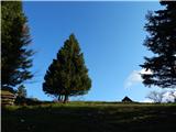 46
46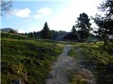 47
47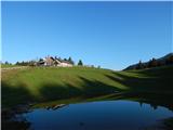 48
48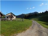 49
49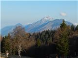 50
50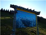 51
51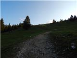 52
52 53
53 54
54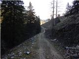 55
55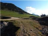 56
56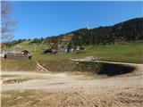 57
57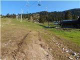 58
58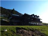 59
59