Branik - Sveti Duh (Pedrovo) (by cart track)
Starting point: Branik (87 m)
Starting point Lat/Lon: 45.8608°N 13.7861°E 
Path name: by cart track
Time of walking: 1 h 10 min
Difficulty: easy marked way
Difficulty of skiing: no data
Altitude difference: 278 m
Altitude difference (by path): 305 m
Map: Goriška - izletniška karta 1:50.000
Access to starting point:
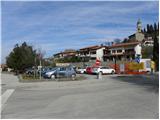
A) From highway Ljubljana - Koper we go to the exit Senožeče, and then we continue driving in the direction of village Štorje. In Štorje we continue right in the direction of Branik (straight Sežana and Trst) and further we drive through the village Kazlje, Dobravlje and Ponikve. At the crossroad few kilometers after Ponikve we continue right towards the village Kobdilj (left Kopriva and Dutovlje), from there we follow the signs for Štanjel and Branik. After few kilometers of descent we get to Branik, where from the left also the road from Komen joins. Only a little further from the mentioned crossroad, on the right we will notice a larger parking lot, where we park (parking lot is located near the post office and Mercator store).
B) First, we drive to Ajdovščina, and then we continue driving on the old road towards Nova Gorica. When we get to the settlement Potoče we leave the main road and we continue left in the direction of the settlement Branik. The road quickly brings us to the bridge over the river Vipava, and after which it becomes more winding. After a short ascent follows a shorter descent and we get to Branik. When we reach the main road we continue left and then after few 10 meters of additional driving, we turn left on a larger parking lot (parking lot is located near the post office and Mercator store).
C) From Nova Gorica or its surroundings we drive to Dornberk, and from there we continue driving in the direction of Branik. We park in the center of Branik on a larger settled parking lot (parking lot is located near the post office and Mercator store).
Path description:
From the parking lot, we continue on a sidewalk, which leads us by the main road towards Štanjel, Koper and Sežana, and next to it we notice several monuments, including the monument to Simon Gregorčič. A little further on the pedestrian crossing we cross the main road, and then we continue in the same direction. On a little larger crossroad we continue straight in the direction of Komen (slightly left on the main road Štanjel, Koper and Sežana), and we walk on a sidewalk for few more minutes, and then signs for railway station point us to the right on a little narrower road. On the road towards the railway station we walk to first right turn, and from there we continue straight towards furniture factory bor-Les.
From bor-Les we continue straight on a bad road which quickly brings us to the foot of the railway track. Here the road turns left and for a short time it continues parallel with the track, and then turns right, where it leads us below arched bridge. Immediately behind the bridge we go right on a wider cart track, and few 10 strides ahead it turns left and it starts ascending diagonally (path to here hasn't been marked, and further we will be accompanied by "blazes" in the shape of red circle in the middle of which is a green butterfly). Further, we are ascending diagonally above the stream Petnik, and the path higher brings us on a ridge, where from the right joins also the other path from Branik (path past the hamlet Cvetrož). From the crossing, we walk on the ridge few more strides, and then we get to the spot, where the cart track splits into two parts. We continue on the right cart track (left leads directly to the village Pedrovo and it is better marked), which immediately splits again. At the second crossing we continue left, after that a little higher slightly right (possible also straight). Further, we are moderately ascending through the forest on a cart track which higher joins the other cart track. Here we continue left to the near abandoned cottage, where we notice a blaze. Behind the cottage the cart track for some time descends and again gets closer to a riverbed of the stream Petnik. Mentioned stream we cross in a long arc, and then on the other side we start ascending diagonally towards the village Pedrovo, which we reach after few minutes of additional walking. When we come to the village, which we reach at the last house, we continue left (right Trstelj) and through the village we descend to the end of the village, where on the right side we notice the church of the Holy Spirit.
Pictures:
 1
1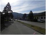 2
2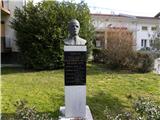 3
3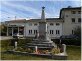 4
4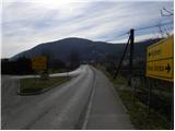 5
5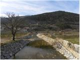 6
6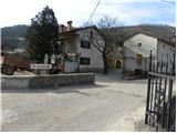 7
7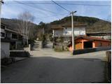 8
8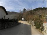 9
9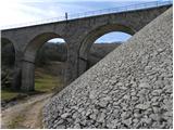 10
10 11
11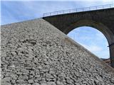 12
12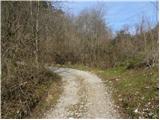 13
13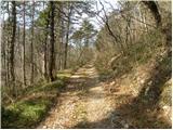 14
14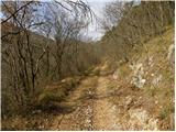 15
15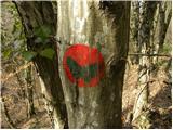 16
16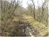 17
17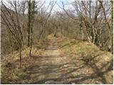 18
18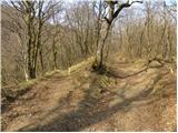 19
19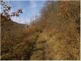 20
20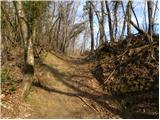 21
21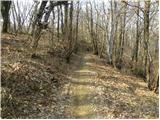 22
22 23
23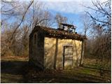 24
24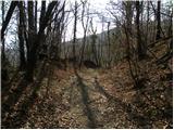 25
25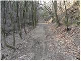 26
26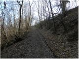 27
27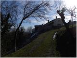 28
28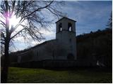 29
29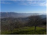 30
30