Breginj - Gabrovec (Veliki Muzec)
Starting point: Breginj (550 m)
Starting point Lat/Lon: 46.262°N 13.4259°E 
Time of walking: 3 h
Difficulty: partly demanding marked way
Difficulty of skiing: no data
Altitude difference: 1080 m
Altitude difference (by path): 1080 m
Map: Julijske Alpe - zahodni del 1:50.000
Access to starting point:
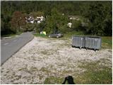
First, we drive to the center of Kobarid, then continue towards the Robič border crossing. Near the village of Staro Selo, we leave the main road to the Robič border crossing and turn right towards Breginj. We then follow the mainly ascending road to Breginj, where we park on the parking lot near the church.
Path description:
From the parking lot we continue past the church (bypassing it on the right side) and continue the ascent on the asphalt road towards Stol and Muzec. The road first ascends through the village, and we follow it at the intersections in the known direction. Higher up the road loses the asphalt and takes us past an old mill to a marked junction, where we continue slightly right (left Church of Our Lady of the Snows). The road, which continues moderately ascending, soon takes us to a marked fork where a marked hiking trail to Muzec (Musc) branches off left.
We turn onto the mentioned trail, which continues moderately ascending through the forest. Further the trail takes us to a small spring (drinking water source), then turns slightly left and begins to ascend more steeply. Higher the trail flattens and takes us to a small junction, where we continue right (straight Plazi). The trail then begins to ascend steeply again through the forest, then takes us to a sharp and crumbly ridge. An exposed narrow path leads over the mentioned ridge, crossing it in a few minutes into the forest belt. When we exit the forest the trail takes us to grassy slopes, where in a few minutes of further walking we arrive at a marked junction.
We continue left (slightly right Klatnica - drinking water source) along the increasingly steep mountain trail. Higher the trail enters a scenic and very steep side ridge, along which we ascend for some time. Higher we reach a small unmarked junction, where we continue on the left less steep trail (right extremely steep trail leads directly to Muzec). The left trail then ascends transversely and takes us past a small chasm to the main ridge of the Muzecs. Here we continue left (right Muzec) and after some ten steps of further walking we arrive at the bivouac below Muzec.
From the bivouac we continue westwards along the scenic ridge trail, which gradually begins to ascend more steeply. We follow this increasingly scenic trail, which is also quite steep in the upper part, all the way to the summit of Gabrovec, reaching it after 15 minutes of further walking.
Pictures:
 1
1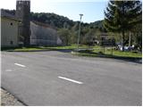 2
2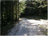 3
3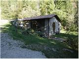 4
4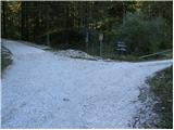 5
5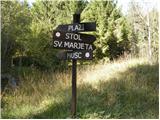 6
6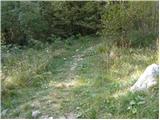 7
7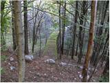 8
8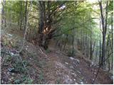 9
9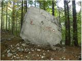 10
10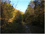 11
11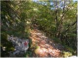 12
12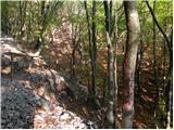 13
13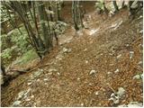 14
14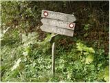 15
15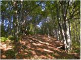 16
16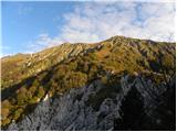 17
17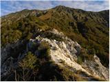 18
18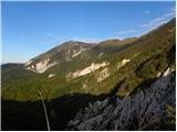 19
19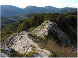 20
20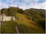 21
21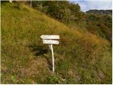 22
22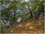 23
23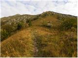 24
24 25
25 26
26 27
27 28
28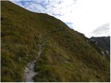 29
29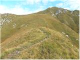 30
30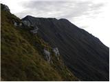 31
31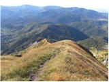 32
32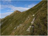 33
33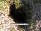 34
34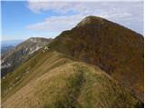 35
35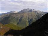 36
36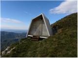 37
37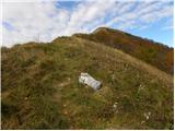 38
38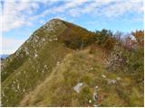 39
39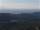 40
40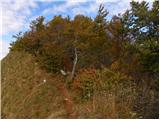 41
41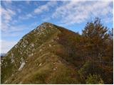 42
42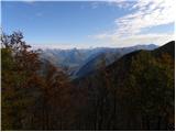 43
43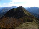 44
44 45
45