Starting point: Brezje (600 m)
Starting point Lat/Lon: 46.3494°N 14.0565°E 
Time of walking: 2 h
Difficulty: easy marked way
Difficulty of skiing: easily
Altitude difference: 665 m
Altitude difference (by path): 665 m
Map: TNP 1:50.000
Access to starting point:
From highway Ljubljana - Jesenice we go to the exit Lesce and follow the road towards Bled and forward towards Bohinjska Bistrica. 1km after Bled we come to the crossroad, where we turn right towards Bohinjska Bela. And we follow this road only a short time because only a little behind the church road branches off to the right to Brezje (Brezje above Bohinjska Bela). We park on a parking lot by the road at the end of the village.
Path description:
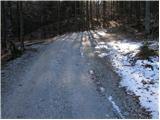
From the parking lot, we continue on the road which a little higher brings us to a crossroad, where we continue right. The road which runs through the forest higher brings us to lower slopes of Slamniki. Here at first on the left side we bypass cottage, and then the path brings us to a crossroad, where we continue left in the direction of Galetovec and Slamniki. The path ahead crosses a lane of a forest and then it brings us on a panoramic slope of Slamniki on which stand some houses. The road then goes into the forest and brings us on a worse crossroad, where we continue right. This road we soon leave because poorly visible blazes point us to the left in the forest. Further, we are relatively steeply ascending on ruined path (fallen trees) through the forest. When the path passes from deciduous into conifer forest also fallen trees end. Ascent ahead is much easier as among fallen trees. And a little higher the path brings us on the forest road which we follow to the left. After few minutes of walking on the road, we come to the crossroad, where we continue sharply left in the direction of Galetovec. The road on which we walk we leave at the spot, where signs for Galetovec point us to the left through a meadow at first downwards after that upwards. The path then goes into the forest, where runs all the way to the last meters below the summit from which a beautiful view opens up.
On the way: Slamniki (950m)
Pictures:
 1
1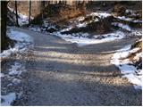 2
2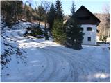 3
3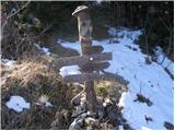 4
4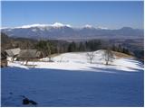 5
5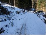 6
6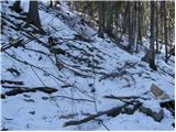 7
7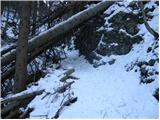 8
8 9
9 10
10 11
11 12
12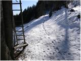 13
13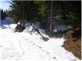 14
14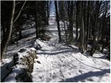 15
15 16
16