Brezje nad Kamnikom - Vovar (northern way)
Starting point: Brezje nad Kamnikom (625 m)
Starting point Lat/Lon: 46.2583°N 14.6226°E 
Path name: northern way
Time of walking: 1 h
Difficulty: easy unmarked way
Difficulty of skiing: no data
Altitude difference: 315 m
Altitude difference (by path): 315 m
Map:
Access to starting point:
A) We drive to Kamnik, and then we continue driving in the direction of Kamniška Bistrica. At the stadium, we leave the main road which turns left and crosses Kamniška Bistrica and we continue driving straight towards Mekinje. Further, we drive past the monastery Mekinje, succursal primary school Mekinje, and then a little after the settlement Zduša we turn right in the direction of the settlement Brezje nad Kamnikom. When we come to the settlement, the described path begins, and we can park at a suitable place beside the road already before the settlement or above the settlement; there are no designated parking spaces in the settlement.
B) We drive to the Volovljek or Črnivec pass, and then we start descending towards Kamnik. Already in the valley, in the settlement Godič, we leave the main road which turns right across Kamniška Bistrica and we continue slightly left. Further, we continue driving through Godič, and before the end of the settlement we turn left in the direction of Brezje, Vodiče and Kršič. A little further, at the stop sign we go left, then we ascend to the settlement Brezje nad Kamnikom, where the described path begins. We can park at a suitable place beside the road already before the settlement or above the settlement; there are no designated parking spaces in the settlement.
Path description:
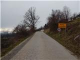
From the beginning of the settlement, we diagonally ascend along the asphalt road, from which beautiful views open up, and in the middle of the settlement, we continue sharply right in the direction of the cycling path LO40. The path ahead leads us past a few more houses, and after the settlement, the road becomes macadam and enters the forest. There follows a steeper ascent through the forest, and at a few smaller crossroads, we continue on the wider road. Higher, the road leads us past some sort of picnic area, where there are two signposts, and a little further we arrive at the spot where the western path to Vovar branches off to the right.
We continue on the road and start to ascend diagonally up the northern slopes of Vovar, and we follow the road to the spot where it starts to descend.
At the spot where the road reaches the highest point, a cart track branches off to the right, beside which there are signs for Vovar. We continue on the cart track, which ascends along the northern to northeastern ridge of Vovar, and higher we also cross a few skid tracks, which were mostly made after the windthrow in 2008. Higher, we continue on a well-beaten forest path, which we follow all the way to the top, where there are a few benches, a stamping box with a logbook and stamp, and a wish bell.
Description and pictures refer to the condition in March 2020.
Pictures:
 1
1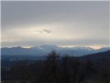 2
2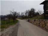 3
3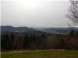 4
4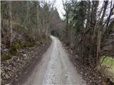 5
5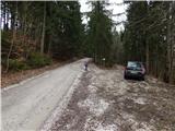 6
6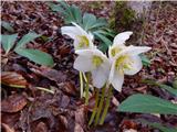 7
7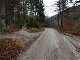 8
8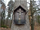 9
9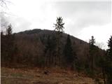 10
10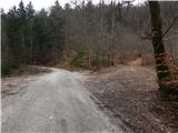 11
11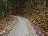 12
12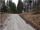 13
13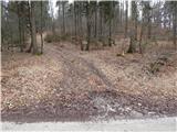 14
14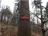 15
15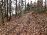 16
16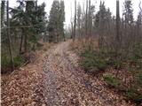 17
17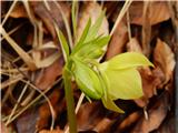 18
18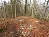 19
19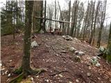 20
20 21
21