Starting point: Brod (512 m)
Starting point Lat/Lon: 46.2733°N 13.9322°E 
Time of walking: 1 h 15 min
Difficulty: easy marked way
Difficulty of skiing: no data
Altitude difference: 434 m
Altitude difference (by path): 445 m
Map: TNP 1:50.000
Access to starting point:
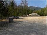
From highway Ljubljana - Jesenice we go to the exit Lesce, and then we continue driving towards Lake Bohinj. A little after Bohinjska Bistrica, we will get to a smaller crossroad, where local road branches off to the right towards the village Brod. Here we turn right and we drive good 100 meters to the former parking lot, which is situated before the bridge over the river Sava Bohinjka.
Path description:
From the former parking lot, we at first cross the bridge, and then on the asphalt road we walk to the village Brod. At the beginning of the village from the right side joins the path from Bohinjska Bistrica, and we continue straight in the direction of Lake Bohinj and Rudnica. And only a little ahead road branches off to the right towards Srednja vas and Češnjica, and the road which continues through the village we follow slightly to the left, where after a short gentle descent we get to the next crossroad.
At the mentioned crossroad, we notice a mountain signpost for Rudnica, which points us right, on the road which past the birth house of dr. Janez Mencinger, brings us to a cart track which leads in the forest. Through the forest, we follow occasionally rare blazes, and the path by some views on Spodnje Bohinjske gore brings us on more steep slopes, where joins the path Ivanova pot. From the crossing, we are for a short time still ascending diagonally towards the right, and then the path turns sharply to the left, where we quickly get below the steep cliffs. After the cliffs the path is slowly turning to the right and gradually becoming less steep. A little further, we cross a shorter panoramic clearing, and the path behind it brings us into the forest, where we get to a smaller, a little different chapel. Here the path turns a little to the left and gently ascends on the ridge of Rudnica, where from the left joins the path from Stara Fužina and village Studor. We continue straight and by the edge of the forest we quickly get to the top of Rudnica, from which a nice view opens up through a valley Zgornja Bohinjska dolina and surrounding mountains.
Pictures:
 1
1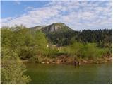 2
2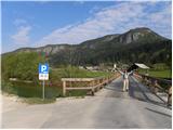 3
3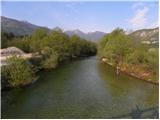 4
4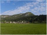 5
5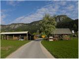 6
6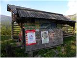 7
7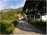 8
8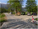 9
9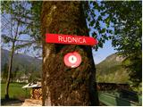 10
10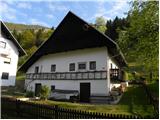 11
11 12
12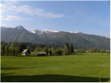 13
13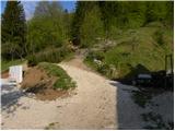 14
14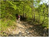 15
15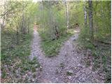 16
16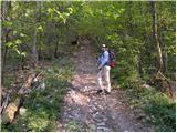 17
17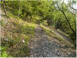 18
18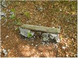 19
19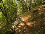 20
20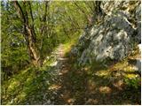 21
21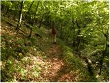 22
22 23
23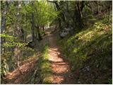 24
24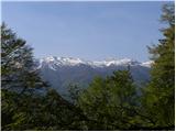 25
25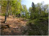 26
26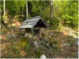 27
27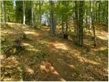 28
28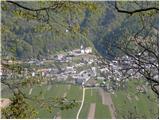 29
29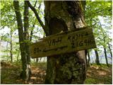 30
30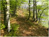 31
31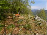 32
32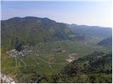 33
33 34
34