Brunk - Polšakova koča na Zagori
Starting point: Brunk (760 m)
Starting point Lat/Lon: 45.8777°N 14.1519°E 
Time of walking: 1 h
Difficulty: easy unmarked way
Difficulty of skiing: no data
Altitude difference: 62 m
Altitude difference (by path): 110 m
Map:
Access to starting point:
A) From Logatec, Planina or Godovič we drive to Kalce, from there we continue driving in the direction of Col and Podkraj. Further, we drive on a little more winding road which after a left zig zag quickly brings us to the spot, where the road leads us past the turn-off of a short path towards Roman fortress Laniše. Towards Col and Podkraj we continue to the spot, where we notice a road sign, which marks 15 % road gradient. Immediately after the traffic sign we turn left on a side road which then leads us below the power line. Behind the power line joins the road which to a starting point brings us, if we come from the direction of Col. After that, when roads join we park on an appropriate place by the road.
B) First, we drive on Col, and then we continue driving towards Podkraj and Logatec. When we already get to municipality Logatec, only a little after the road sign 6 km we turn right on a macadam road. We quickly join the road, on which we get to a starting point from the direction Kalce. After that, when roads join we park on an appropriate place by the road.
Path description:
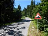
From the spot, where both roads join we continue straight in the forest, on the road which quickly brings us on a crossroad, where we continue left (slightly right Bukovje). The road then on the south side bypasses the nearby Orlov grič (829 meters). Further, the road leads past the spruce Logaška smreka (natural sight - Picea abies), and then it brings us to a smaller crossroad, where we continue straight (right road ends in nearby forests). The road which with the exception of few shorter descents mostly slightly, only occasionally moderately ascending, then brings us to another crossroad, where we also continue straight (also mentioned left road ends in the forest). A short ascent follows, after that the road flattens and it brings us to the mountain hut Polšakova koča.
Pictures:
 1
1 2
2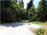 3
3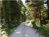 4
4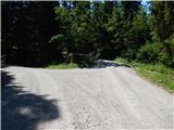 5
5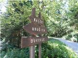 6
6 7
7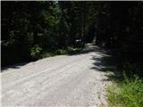 8
8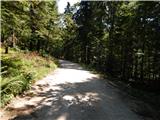 9
9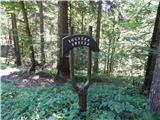 10
10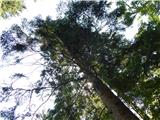 11
11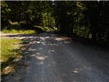 12
12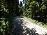 13
13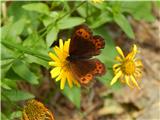 14
14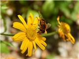 15
15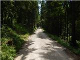 16
16 17
17 18
18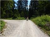 19
19 20
20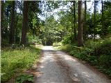 21
21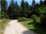 22
22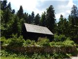 23
23