Budinci - Budinci (Pout po dolaj, pa bregaj)
Starting point: Budinci (325 m)
Starting point Lat/Lon: 46.85275°N 16.25772°E 
Path name: Pout po dolaj, pa bregaj
Time of walking: 3 h 30 min
Difficulty: easy marked way
Difficulty of skiing: no data
Altitude difference: -40 m
Altitude difference (by path): 225 m
Map:
Access to starting point:
From the road Murska Sobota - Hodoš, in the settlement Šalovci a little after the gas station Ina, we turn left in the direction of Budinci and Dolenci. When we get to Dolenci at the crossroad we continue left and then we drive to the cemetery in Budinci, which is situated few 100 meters before the fire station Budinci.
Path description:
From the marked parking lot by the cemetery, we continue on the road ahead and in a few minutes we walk to the fire station Budinci, where the path Pout po dolaj, pa bregaj begins. We bypass the fire station on the right side and descend on the road into the valley of the stream Dolenjski potok. Here we pass by some ponds, and at few smaller crossroads we continue straight. Next follows a relatively short ascent, initially through the forest and then past a few houses; when we reach a slightly wider road, we turn left. A little further, we arrive at the chapel and memorial to the solar eclipse, which was observed here on 11 August 1999, and a few minutes later, we reach the national border with neighboring Hungary. Here, signs in the shape of blue arrows, marking the path Pout po dolaj, pa bregaj, direct us toward Hungary, where we begin descending on an asphalt road that leads through the forest. Lower down, we reach Andovci / Orfalu, where we continue past individual houses; at a smaller crossroad with a cross, we proceed slightly left. The path continues with occasional descents; before reaching the main road, we turn left in front of a belfry toward the circular hike in Andovci. Next follows a short diagonal ascent, after which we join the path starting from the parking lot in Andovci.
Here we turn left and follow the road for a few minutes until we notice, on the right, homestead Porabska domačija, where Mali Triglav stands in the yard.
We bypass the homestead on the left, and the road transitions into a forest and becomes a cart track, then a hiking path higher up, where we follow the blazes at crossings. Further, we pass a hunting observatory, and then the path splits.
At an unmarked crossing, we continue on the marked left path, which proceeds for some time without significant changes in altitude, then mostly ascends gently to a marked crossing, where we continue left following the blue arrows. We continue for a few minutes parallel to the national border, heading southeast, then turn right and re-enter the territory of Slovenia, where an information board stands at the site of a former JLA guard post. Here we follow the blue signs, continuing along the national border, walking northwest. After some time, we reach the border stone A 115, marking the northernmost point of Slovenia.
From here, we continue along the national border for a while, but soon the path branches off to the right toward Katin breg, while we proceed along the border to a green hunting observatory, where we reach a macadam road and follow it to the left (right leads to the Čepinci border crossing). Next follows a longer walk through the forest, where we follow blue signs at a few crossroads; after leaving the forest, we pass a nearby house and reach an asphalt road, which we follow straight (right leads to Markovci). We don’t walk long on the road before noticing, on the left, the fire station Budinci; the cemetery, where we started, is about a minute ahead.
Description and pictures refer to conditions in January 2024.
Pictures:
 1
1 2
2 3
3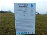 4
4 5
5 6
6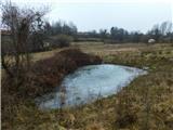 7
7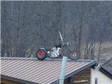 8
8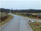 9
9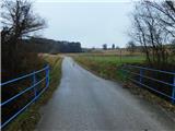 10
10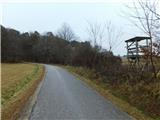 11
11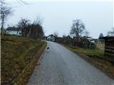 12
12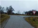 13
13 14
14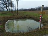 15
15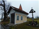 16
16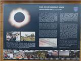 17
17 18
18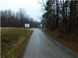 19
19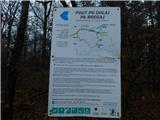 20
20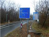 21
21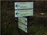 22
22 23
23 24
24 25
25 26
26 27
27 28
28 29
29 30
30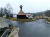 31
31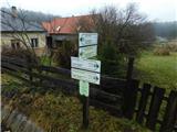 32
32 33
33 34
34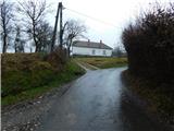 35
35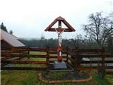 36
36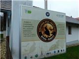 37
37 38
38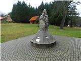 39
39 40
40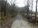 41
41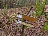 42
42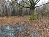 43
43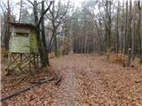 44
44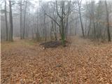 45
45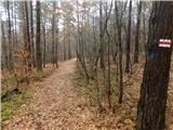 46
46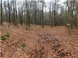 47
47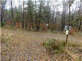 48
48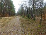 49
49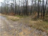 50
50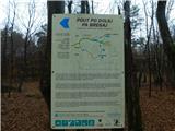 51
51 52
52 53
53 54
54 55
55 56
56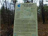 57
57 58
58 59
59 60
60 61
61 62
62 63
63 64
64 65
65 66
66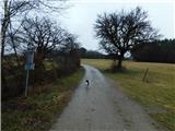 67
67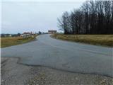 68
68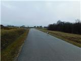 69
69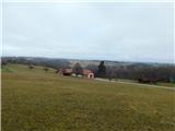 70
70 71
71