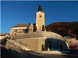
Čemšenik - Koča na Čemšeniški planini
Starting point: Čemšenik (670 m)
Starting point Lat/Lon: 46.1802°N 14.9451°E 
Time of walking: 1 h 15 min
Difficulty: easy marked way
Difficulty of skiing: partly demanding
Altitude difference: 450 m
Altitude difference (by path): 450 m
Map: Posavsko hribovje - zahodni del 1:50.000
Access to starting point:
We drive to Izlake, where from the crossroad at Tuš store market Ajda we continue in the direction of Čemšenik. Next follows driving through the valley of the stream Lesji potok, and then in few hairpin turns we ascend to a marked crossroad, where we continue left towards Čemšenik (right - Zagorje). When we get to Čemšenik, we park on an appropriate place near the parish church.
Path description:
From the church, we continue towards the west, and then we go from the nearby crossroad right in the direction of organic apples (bio jabolka). Next follows a steep ascent, at the end of the village, and at the water storage, the asphalt ends. A little further, at the smaller crossroad we go left, and after a short ascent signpost for Čemšeniška planina points us right on a marked footpath which ascends through the forest. After that, the path already after few minutes crosses a cart track and only few steps further joins the forest road. The road which is moderately ascending we follow only a short time, to the spot where blazes point us to the left on a steep cart track. After few meters of the ascent on a cart track, we will on the left side of the path notice a small well. Often a quite muddy cart track after ten minutes ascent brings us to a clearing, which we cross on a poorly visible path, which is on the other side well visible. Here from the right side, the path from Kisovec and Zagorje joins. We still continue on a cart track which makes two sharp turns and then on a smaller clearing turns into a footpath. The path ahead becomes pretty steep and in a diagonal ascent, which lasts approximately 30 minutes brings us to the spot, where we join the path from Prvine. The path ahead runs by the edge of a steep meadow of Čemšeniška planina, from which beautiful views opening up mainly towards Kum. Next follows few minutes of walking by the edge of a steep meadow and then we get to the spot, where a cargo cableway crosses the mountain path. Here we carefully cross cableway and in doing so, we have to be careful, that with head we don't hit into a steel cable. On the other side of the cableway, we already notice a mountain hut, which we reach in few steps.
Pictures:
 1
1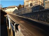 2
2 3
3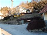 4
4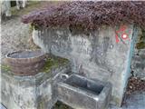 5
5 6
6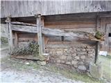 7
7 8
8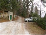 9
9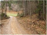 10
10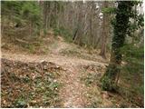 11
11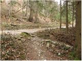 12
12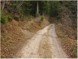 13
13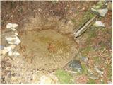 14
14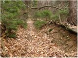 15
15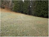 16
16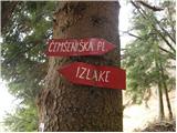 17
17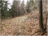 18
18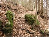 19
19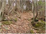 20
20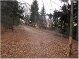 21
21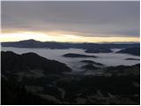 22
22 23
23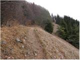 24
24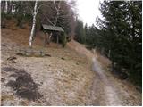 25
25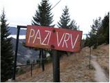 26
26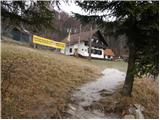 27
27