Cerkno - Bevkov vrh (via Lajše)
Starting point: Cerkno (324 m)
Starting point Lat/Lon: 46.1263°N 13.9854°E 
Path name: via Lajše
Time of walking: 3 h
Difficulty: easy unmarked way
Difficulty of skiing: no data
Altitude difference: 727 m
Altitude difference (by path): 800 m
Map: Škofjeloško in Cerkljansko hribovje 1:50.000
Access to starting point:
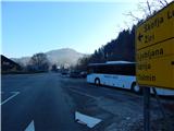
We drive to Cerkno, where we park on a parking lot by the crossroad near the Cerkno fire station. We can also park a little away on a parking lot by the cemetery or somewhere else in Cerkno.
Path description:
From the parking lot near the fire station we continue by the main road towards Žiri and Škofja Loka, where we first cross the stream Cerknica, and then we quickly get to a smaller crossroad, where a side road branches off to the left, and from the mentioned crossroad we continue right on a beaten footpath which a little further turns right and ascends diagonally over the slope. A little further, the path, along which we can notice a few old blue-yellow blazes, turns left and ascends to an asphalt road. We continue the ascent on the mentioned road which is called Gozdarska pot, and we continue along it to the spot where signs for gozdarski vrt point us sharply left on a macadam road. Further, we ascend on the forest road; when signs of hiking path number 3 point us left in the direction of gozdarski vrt, we stay on the road and ascend to a storage of logs, where the driving road ends.
Here we go left where the sign on the tree also points and we ascend on a steeper cart track, on which in a few minutes we come out of the forest. On the meadow the cart track splits, and we continue on the right one, which through the meadow passes into the forest. Next follows a diagonal ascent towards the right, and we ascend on the northern slopes of Veliki vrh. Higher, we cross the route of a high voltage power line, from where a nice view opens up on Porezen, and only a little further we reach the edge of a smaller plateau, where there is the hamlet Lajše.
We bypass the houses on the left side and continue walking on the macadam road which once again leads below the route of a power line. A little further, we arrive in a smaller valley, through which we ascend to a smaller saddle, where there is a crossing.
We continue straight (sharply left Veliki vrh, left shrine Lajše) and quickly get to a marked crossing, from which we continue sharply right on a footpath in the direction of Bevkov vrh and ICPP - Idrijsko Cerkljanska planinska pot (straight mountain pass Kladje).
The path ahead is marked and leads us by the grazing fence, which a little ahead we cross, and then we go through a lane of forest. When we step out of the forest, crossing of a meadow follows, from which beautiful views open up, and then we reach the nearby homestead Za Vrhom, where we reach the macadam road. Some ascent follows; when the road turns left, we leave it and continue straight on a grassy cart track. Again follows crossing of a meadow, and after a few minutes we reach homestead Bende, where we step on an asphalt road. A little after the house we go from the road slightly right and walk to a smaller valley. An ascent through the valley follows, where the path is not visible, and then we reach an asphalt road, where we join the path via mountain pass Kladje.
A few steps ahead we get to a crossroad, and we follow the signs for homemade cheese; the road descends for approximately 50 altitude meters. Lower the road flattens, and from the right a marked path from Želina also joins. A few dozen steps ahead we get to the farm Na Ravan, where it is possible to buy some milk products, and a few steps before the farm we continue left on a cart track which continues behind the houses. The cart track quickly changes into a footpath which then ascends up the pasture, and higher we reach a somewhat wider cart track which ascends diagonally towards the right. At the entrance into the forest we notice a large blaze which resembles a traffic sign; the cart track here passes into the forest and turns left. When we step out of the forest again we notice another large blaze, which is helpful on the descent. We continue on the cart track to a grazing fence, then alongside it to the chapel, which is located by the power line.
From the chapel, where there is the SPP stamp and the registration box, we continue left in the direction of Sovodnja. Less than 10 minutes of walking follows on the partly panoramic ridge of Bevkov vrh. When the path enters the forest, only a few steps of walking separate us from the top of Bevkov vrh.
On the way: Lajše (790m), Na Ravan (875m)
Pictures:
 1
1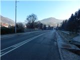 2
2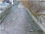 3
3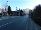 4
4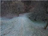 5
5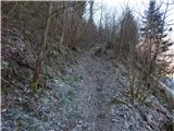 6
6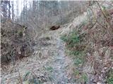 7
7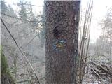 8
8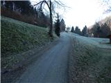 9
9 10
10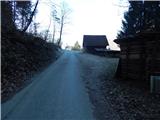 11
11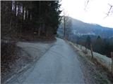 12
12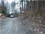 13
13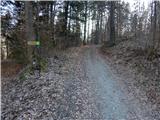 14
14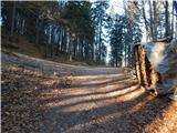 15
15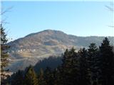 16
16 17
17 18
18 19
19 20
20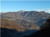 21
21 22
22 23
23 24
24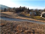 25
25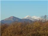 26
26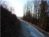 27
27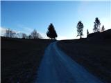 28
28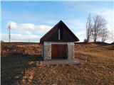 29
29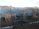 30
30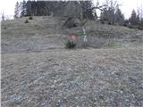 31
31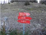 32
32 33
33 34
34 35
35 36
36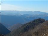 37
37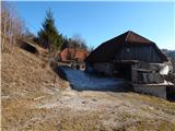 38
38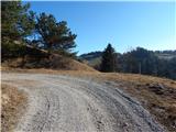 39
39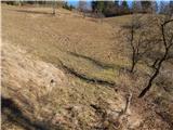 40
40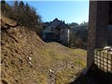 41
41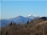 42
42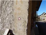 43
43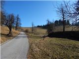 44
44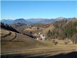 45
45 46
46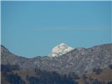 47
47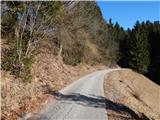 48
48 49
49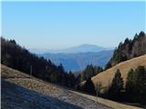 50
50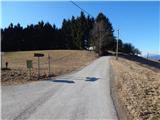 51
51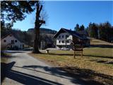 52
52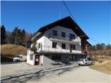 53
53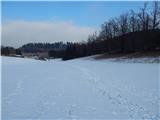 54
54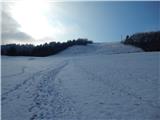 55
55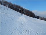 56
56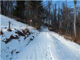 57
57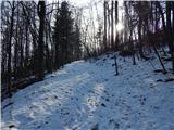 58
58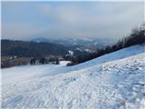 59
59 60
60 61
61 62
62 63
63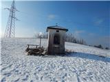 64
64 65
65 66
66 67
67 68
68 69
69 70
70 71
71 72
72