Čezsoča - The Slatenik waterfall
Starting point: Čezsoča (350 m)
Time of walking: 1 h 45 min
Difficulty: difficult unmarked way
Difficulty of skiing: demanding
Altitude difference: 400 m
Altitude difference (by path): 450 m
Map: Julijske Alpe - zahodni del 1:50.000
Access to starting point:
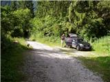
We drive to Bovec and then we descend in the village Čezsoča, where in the center of the village we turn left in the direction of Jablanca. We then follow a narrow asphalt road to the spot, where a macadam road in the direction of valley Dolina Škratov branches off to the right upward. We follow this road good 100m to the parking lot by the road.
Path description:
From the parking lot by the road, we continue on a macadam road which is getting worse and gradually changes into a cart track. From the path which mostly runs through the forest a view rarely opens up on the nearby Kanin massif and basin Bovška kotlina. After a good hour of the ascent on the path, by which we notice some decaying shacks, we leave the cart track because signs for valley Dolina Škratov point us right downwards. Next follows 10 minutes descent on a pleasant forest path surrounded with numerous garden gnomes ("škrati"), which ends at the inscription box on an old wooden cottage.
From shack we continue on a little overgrown path, which is barely ascending past also last gnomes into a valley Dolina Škratov. The path ahead crosses the stream Slatenik (a small bridge is wrecked 18/7/2008) and then steeply ascends in the direction of "slap" (waterfall). After a good 10 minutes, the steepness decreases and the path brings us on an indistinct side ridge, where it turns left. After additional few ten strides of walking the path starts descending on a steep and in wet for slipping dangerous slope. With faded blazes marked path then brings us to an unmarked crossing, where the path branches off to the left towards the waterfall, which we already see in front of us, but to there separates us few more minutes of walking. If we continue on the right path, which again starts ascending we get to a gorge of the stream Slatenik, which is located only a little above the waterfall.
Pictures:
 1
1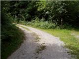 2
2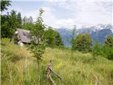 3
3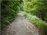 4
4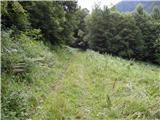 5
5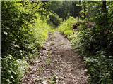 6
6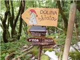 7
7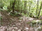 8
8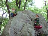 9
9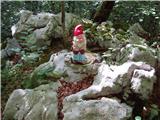 10
10 11
11 12
12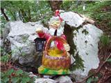 13
13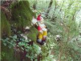 14
14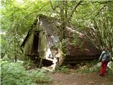 15
15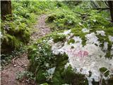 16
16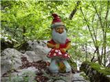 17
17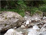 18
18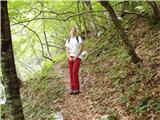 19
19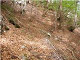 20
20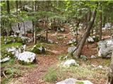 21
21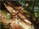 22
22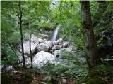 23
23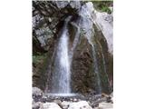 24
24