Cima Sappada - Creta Forata
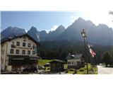
Starting point: Cima Sappada (1283 m)
Starting point Lat/Lon: 45.556°N 12.71969°E 
Time of walking: 4 h
Difficulty: difficult marked way
Difficulty of skiing: no data
Altitude difference: 1179 m
Altitude difference (by path): 1200 m
Map: Tabacco 01
Access to starting point:
From the motorway Trbiž/Tarvisio - Videm/Udine, take the Tolmezzo exit and follow the road further towards the mentioned place. Near Tolmezzo, leave the main road which leads towards the pass Pso di Croce Carnico/Plockenpass and head towards the places Villa Santina and Ampezzo. In Villa Santina, at the roundabout, go straight following the signs for Raveo, Rigolato. Follow this road past the places Comeglians and Forni Avoltri all the way to Cima Sappada. Park at the lower chairlift station in the last bend before the settlement.
Path description:
The path starts right below the chairlift, where signposts also stand. Follow the track or path 321 towards the west. Soon to the left, a less visible path branches off through the forest (somewhat poorly marked and somewhat overgrown), but it is better to continue following the scenic track, which at the ski area makes a 180° bend and soon joins the path. The track then gently ascends and eventually heads west again. Here to the left, the path through the forest branches off again (damaged in autumn 2018 in a severe storm, the area also still in remediation in 2019), but it is also nicer this time to follow the track further to the ski area and steeply upwards next to it (with nice views of Sappada in the valley and upwards to the mountain Piccolo Siera, 2430 m). After the bend, the path next to the ski area is also joined by the path through the forest. Continue following the path next to the ski area two long turns higher to the Monte Siera hut (it. Rifugio Monte Siera).
From the hut, climb to the top of the drag lift on the left side of the ski area. From there, the path begins, which initially runs through scree. Then it heads east around the mountain Cima Dieci, 2151 m. On the path there is one technically partially demanding to demanding section, equipped with steel cables. When it circles the mountain, the path leads into the mountain valley Vallone della Creta Forata. From here, follow the path west towards the notch Forcella Creta Forata. The path is flat for some time, then begins to ascend. When the slope really starts, somewhere at an altitude of 2000 m the path to the mountains Creta Forata and Creton di Tul branches off to the left (poorly marked).
Then follows about 150 meters of elevation gain, overcome in switchbacks (zig-zag). At the junction, turn left for Creta Forata.
Along the left path, then ascend about 100 meters of elevation difference, after which one section is traversed to the east. The path offers increasingly difficult sections, but does not exceed the demanding rating (UIAA I-). At some places, the rocks can be sprinkled with gravel. After the traverse, the path begins to ascend again with some spots of easier scrambling, and the ascent leads to the saddle, from where the eastern summit slope of Creta Forata opens up. Along this slope, some more scrambling follows to the summit, on which a cross stands, and a stamp is also available (e.g. for the transversal Vrhovi prijateljstva). The summit is an excellent viewpoint.
On the way: Rifugio Monte Siera (1607m), Vallone della Creta Forata (1850m)
Pictures:
 1
1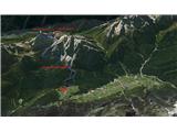 2
2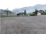 3
3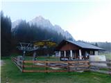 4
4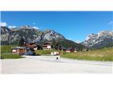 5
5 6
6 7
7 8
8 9
9 10
10 11
11 12
12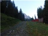 13
13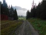 14
14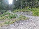 15
15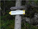 16
16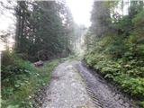 17
17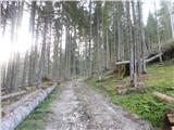 18
18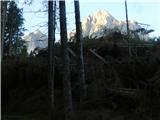 19
19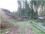 20
20 21
21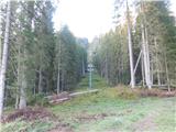 22
22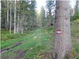 23
23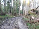 24
24 25
25 26
26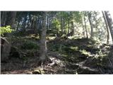 27
27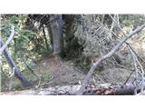 28
28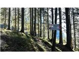 29
29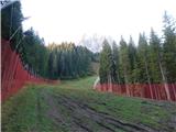 30
30 31
31 32
32 33
33 34
34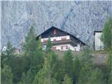 35
35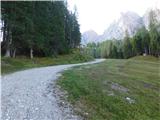 36
36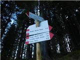 37
37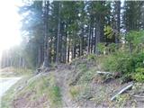 38
38 39
39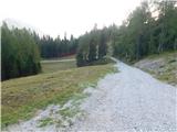 40
40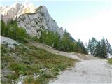 41
41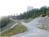 42
42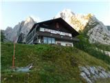 43
43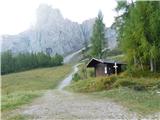 44
44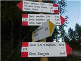 45
45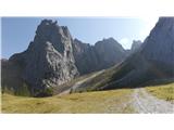 46
46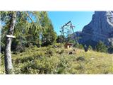 47
47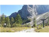 48
48 49
49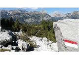 50
50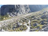 51
51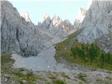 52
52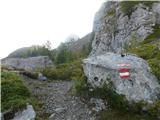 53
53 54
54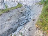 55
55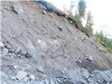 56
56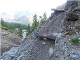 57
57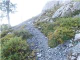 58
58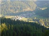 59
59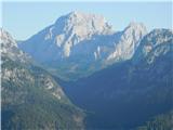 60
60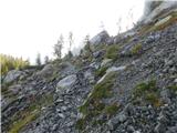 61
61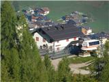 62
62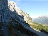 63
63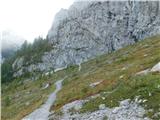 64
64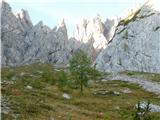 65
65 66
66 67
67 68
68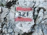 69
69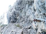 70
70 71
71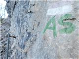 72
72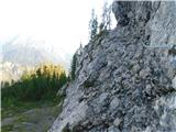 73
73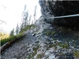 74
74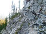 75
75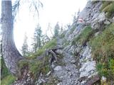 76
76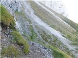 77
77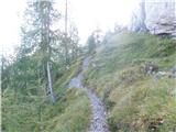 78
78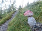 79
79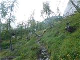 80
80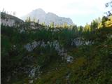 81
81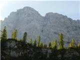 82
82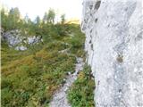 83
83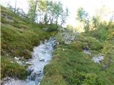 84
84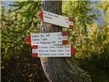 85
85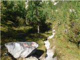 86
86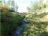 87
87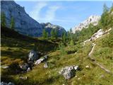 88
88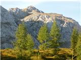 89
89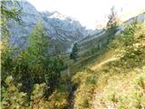 90
90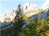 91
91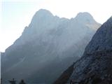 92
92 93
93 94
94 95
95 96
96 97
97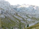 98
98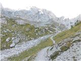 99
99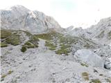 100
100 101
101 102
102 103
103 104
104 105
105 106
106 107
107 108
108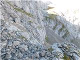 109
109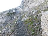 110
110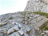 111
111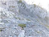 112
112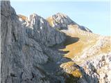 113
113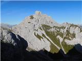 114
114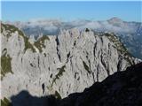 115
115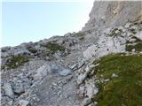 116
116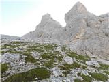 117
117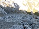 118
118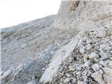 119
119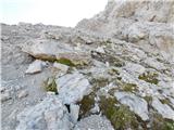 120
120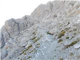 121
121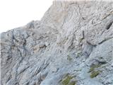 122
122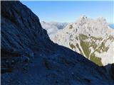 123
123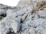 124
124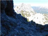 125
125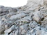 126
126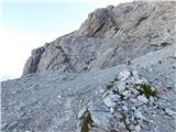 127
127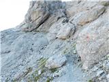 128
128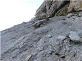 129
129 130
130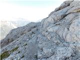 131
131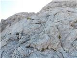 132
132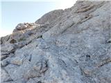 133
133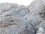 134
134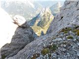 135
135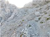 136
136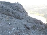 137
137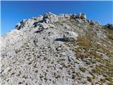 138
138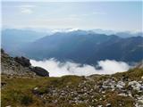 139
139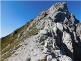 140
140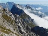 141
141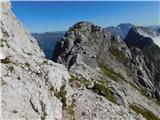 142
142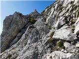 143
143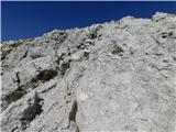 144
144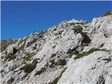 145
145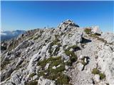 146
146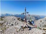 147
147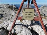 148
148 149
149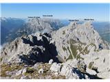 150
150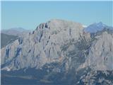 151
151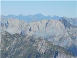 152
152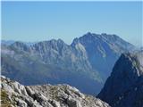 153
153 154
154 155
155 156
156 157
157 158
158 159
159