Col - Špiček (Špečk) (via Križna gora)
Starting point: Col (627 m)
Starting point Lat/Lon: 45.8816°N 14.001°E 
Path name: via Križna gora
Time of walking: 1 h 10 min
Difficulty: easy unmarked way
Difficulty of skiing: no data
Altitude difference: 359 m
Altitude difference (by path): 370 m
Map: Nanos 1:50.000
Access to starting point:
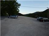
A) From highway Razdrto - Nova Gorica we go to the exit Ajdovščina, and then we continue driving in the direction of Col and Idrija. When we get to Col we turn left towards Predmeja and then after few meters right on a parking lot opposite of the parish church in Col. We can also park on a parking lot by nearby sports field.
B) We drive to Logatec, and from there we continue driving towards Idrija. At the end of the settlement Kalce we turn left in the direction of Podkraj and Col, after that on a little more winding road at first we get to Podkraj, and then on a little more flat road also to Cola. In Col, where we join the road from Ajdovščina we continue right, and after few 10 meters left in the direction of Predmeja. Towards Predmeja we drive only few meters, because immediately after the crossroad we turn right on a parking lot opposite of the church of St. Lenart.
C) We drive to Idrija, and then we continue driving towards Logatec. When we get to Godovič we leave the main road towards Logatec and we continue driving right in the direction of Črni Vrh, Col and Ajdovščina. When we get to Col we turn right towards Otlica and Predmeja and then once again right on the nearby parking lot opposite of the church.
Path description:
From the parking lot, we return to the main road Ajdovščina - Godovič, and then we walk there towards Godovič and Črni Vrh. Soon narrower road towards Vodice branches off to the right, on which continues a marked path towards Javornik, and we still continue by the main road. The path ahead leads us past road base CPG, and behind it brings us to the smaller crossroad, where a worse road or cart track branches off to the left downwards on which we continue (if we continue on the main road, we can come on Špiček and Križna gora over Špiček).
Further cart track leads gently through a meadow, and then at the smaller crossing before power line we continue right, behind power line once again right, this time on a barely visible footpath which starts moderately ascending among rare bushes. Among the bushes the footpath is for some time better visible and then on a meadow entirely vanishes. We continue straight upwards to the upper part of meadow, where the footpath becomes more distinct and further easier to follow. The path continues through the forest, higher crosses a grazing fence, and behind it turns left and takes us on a wide cart track. On the cart track, we are ascending few 10 meters and then on the right side we will notice the continuation of the path. The path ahead is ascending through the forest, and partly also through panoramic grassy slopes. Higher the forest ends, and the path which turns right and which flattens suddenly vanishes. Because footpath vanishes the orientation is a little harder, but if we continue towards smaller lonely spruce in the middle of meadow, we'll do it right, because only a little above spruce footpath again appears. Next follows a little steeper short ascent and we already get to a bench on Križna gora. Indistinct and unmarked peak is few steps ahead.
From Križna gora we continue on an unmarked footpath, that is gently descending by the ridge and edge of the forest, and when the descent ends we step on a worse cart track which we follow to the right. Cart track quickly ends, and we continue on a forest path which continues on and by the ridge. This path we then follow for approximately 10 minutes and the path brings us on panoramic Špiček.
Pictures:
 1
1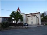 2
2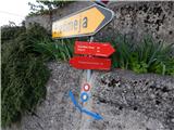 3
3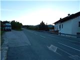 4
4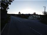 5
5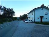 6
6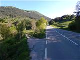 7
7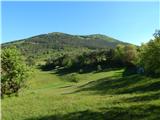 8
8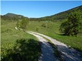 9
9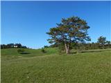 10
10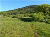 11
11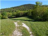 12
12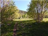 13
13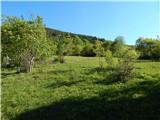 14
14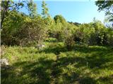 15
15 16
16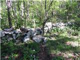 17
17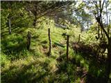 18
18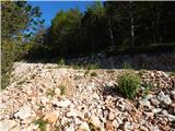 19
19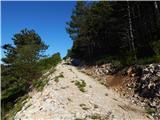 20
20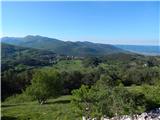 21
21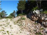 22
22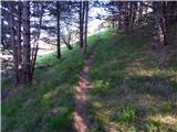 23
23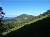 24
24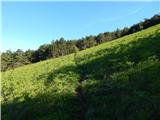 25
25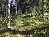 26
26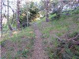 27
27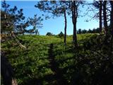 28
28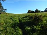 29
29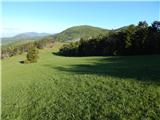 30
30 31
31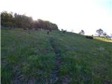 32
32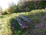 33
33 34
34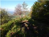 35
35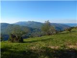 36
36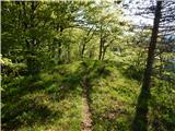 37
37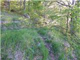 38
38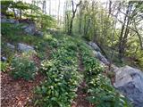 39
39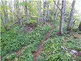 40
40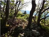 41
41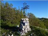 42
42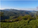 43
43