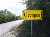
Starting point: Črešnjice (512 m)
Starting point Lat/Lon: 46.3261°N 15.3492°E 
Time of walking: 1 h 25 min
Difficulty: easy marked way
Difficulty of skiing: no data
Altitude difference: 500 m
Altitude difference (by path): 500 m
Map:
Access to starting point:
A) From the highway Ljubljana - Maribor, take the Celje exit and follow the road ahead towards Vojnik. From Vojnik, continue on the main road towards Slovenske Konjice, but only to the spot where the road branches off to the right towards the village Črešnjice. Follow this road to the mentioned village. In the center of the settlement, there are some spots for safe parking.
B) From the highway Maribor - Ljubljana, take the Tepanje exit and follow the road ahead towards Draža vas and Žiče. In Žiče, turn right in the direction of Špitalič, Žička kartuzija, Sojek and arrive in Črešnjice (municipality Vojnik). In the center of the settlement, there are some spots for safe parking.
Path description:
From the center of the settlement Črešnjice, we set off along the asphalt road past the cemetery and the pilgrimage church of Our Lady of the Rosary, where the mountain path from Frankolovo joins from the left. We continue higher straight ahead, where the path runs for a few meters along a grassy cart track, which quickly enters the forest. More or less wide forest paths alternate and practically the entire path ascends in the safe shelter of the forest. Directly below the summit, there is a funny sign that warns of the 1000-meter altitude. A few more steps and the summit with the lookout tower is reached.
Pictures:
 1
1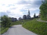 2
2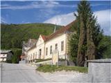 3
3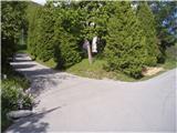 4
4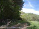 5
5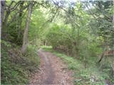 6
6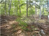 7
7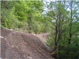 8
8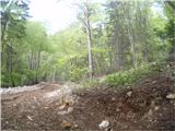 9
9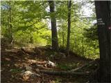 10
10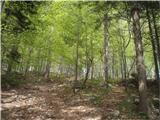 11
11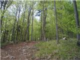 12
12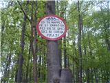 13
13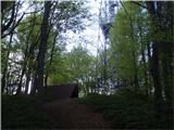 14
14 15
15