Čretvež - Stolpnik (via Grofov štant)
Starting point: Čretvež (561 m)
Starting point Lat/Lon: 46.3448°N 15.3715°E 
Path name: via Grofov štant
Time of walking: 1 h 35 min
Difficulty: easy marked way
Difficulty of skiing: no data
Altitude difference: 451 m
Altitude difference (by path): 475 m
Map:
Access to starting point:
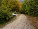
From highway Ljubljana - Maribor we go to the exit Slovenske Konjice, and then we follow the road towards the mentioned settlement. From Slovenske Konjice we continue driving on a regional road towards Celje, and we follow it to the settlement Stranice, where only few 10 meters after the roundabout we turn left in the village Bukovlje. The road further ascends through Bukovlje, and then it flattens and it brings us in Čretvež, where at the smaller crossroad we continue on the bottom right road. Next follows a short descent, where after the "last" house we turn right. Here we will on the traffic sign notice a caption Stolpnik, which marks the beginning of the path. Because by the starting point, there isn't any appropriate parking space on the road which ascends above the house we drive for approximately 100 meters and then we park there on an appropriate place.
Path description:
From the parking lot, we return to the "last" house in the village, and there caption on the traffic sign points us on a cart track which we follow only few steps. After approximately 10 meters of walking on a wide cart track, we will notice on the right side a footpath which ascends through the forest. Only a little higher by the path first blazes show up, which are then accompanying us during the ascent through the forest, where at the crossings they show the right path. Higher, we cross the forest road (right - hunting cottage Štepih) and we continue the ascent on a gradually more and more gently sloping path. And soon the footpath starts turning more and more to the left, where it is becoming more overgrown and poorly marked. By the path which for quite some time crosses occasionally quite overgrown slopes, we notice some signs for XIV division trail. The mentioned path then joins the road which we follow to the left, and we walk there to the nearby crossroad (Grofof štant) by which there is a marked crossing.
We continue sharply right in the direction of Stolpnik to which separates us approximately half an hour of walking. The path ahead starts ascending steeper, and then for a short time entirely flattens. A gentle descent follows and then few minutes of a moderate ascent and the path which mostly runs through a dense forest quickly brings us to the summit, on which there is 25 meters high lookout tower.
On the way: Grofov štant (805m)
Pictures:
 1
1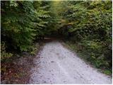 2
2 3
3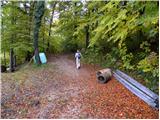 4
4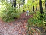 5
5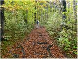 6
6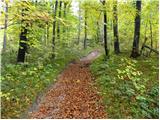 7
7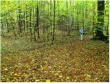 8
8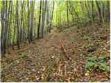 9
9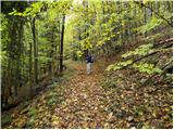 10
10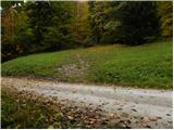 11
11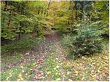 12
12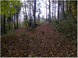 13
13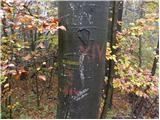 14
14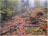 15
15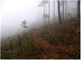 16
16 17
17 18
18 19
19 20
20 21
21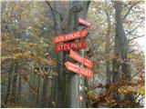 22
22 23
23 24
24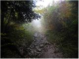 25
25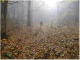 26
26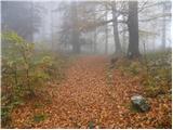 27
27 28
28 29
29 30
30 31
31 32
32 33
33