Cruzloma - Rucu Pichincha (TelefériQo )
Starting point: Cruzloma (3940 m)
Starting point Lat/Lon: -0.18686°N -78.53727°E 
Path name: TelefériQo
Time of walking: 3 h 15 min
Difficulty: difficult marked way
Difficulty of skiing: no data
Altitude difference: 758 m
Altitude difference (by path): 790 m
Map:
Access to starting point:
The lower station of TelefériQo is situated in Quito (the capital of Ecuador) in the vicinity of the Miraflores, Armero, La Comuna Alta and La Gasca neighborhoods.
The easiest and fastest affordable option is to take a taxi, as they are abundant. Alternatively, some bus lines running along Av. Occidental (Mariscal Sucre) with a stop at Antonio Jose de Sucre Y N25 get relatively close to the lower station. The lines are: Mitad del Mundo, San Carlos and Rapitrans. Nevertheless, the bus stop is some 150 meters of altitude below the lower station of the TelefériQo cable car (at 3110 m above sea level). With the TelefériQo cable car you will reach Cruzloma (upper station) at 3940 m above sea level.
Path description:
Upon exiting the gondola at the upper Cruzloma station, to the left on the observation platform there is a nice view of Quito. To the right of the exit is the restaurant.
Continue past the left side of the restaurant up the stairs, after which you reach the ridge. After a few tens of meters of elevation gain, you reach the next observation point. About 50 meters below the path is the small church La Dolorosa. From here it is possible to choose a return, as this path also leads to the upper gondola station.
The path then immediately descends a few tens of meters and joins the one passing by the little church. Then the path gently ascends along the ridge, at 4100 m a.s.l. passes under the power line and then at about 4350 m reaches the rocky edge of Rucu Pichincha. Here continue right (left branches a steep very difficult path).
The path continues under the rocky cliffs of the mountain. The traverse continues keeping to the right directions despite any concerns. Worth mentioning is that in this section the traverse is non-exposed but technically perhaps only partly difficult rocky step. Then the path leads past scree terrain. This section is ideal for descent, for ascent it is wise to keep right, as the path soon leads to firmer ground, up which it zigzags to the saddle.
From the saddle continue left ahead, overcoming another 100 meters of elevation gain. In this last section it is the steepest and requires some easy scrambling. Technical difficulty from partly difficult to difficult.
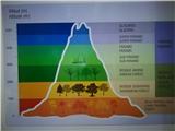
The summit is relatively wide and offers excellent views of the city of Quito. In the distance, on clear weather, the five-thousander Cayambe is visible, as well as Cotopaxi and both Ilinizas mountains in the distance.
On the way: Cruzloma (3940m), La Dolorosa (3900m)
Pictures:
 1
1 2
2 3
3 4
4 5
5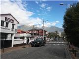 6
6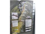 7
7 8
8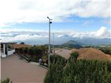 9
9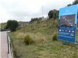 10
10 11
11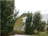 12
12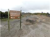 13
13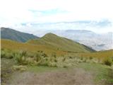 14
14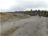 15
15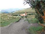 16
16 17
17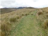 18
18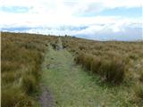 19
19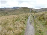 20
20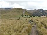 21
21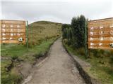 22
22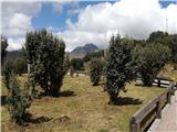 23
23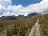 24
24 25
25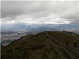 26
26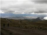 27
27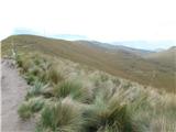 28
28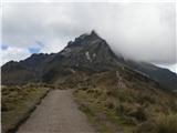 29
29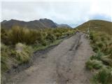 30
30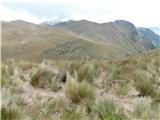 31
31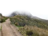 32
32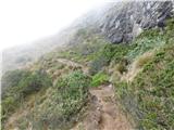 33
33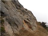 34
34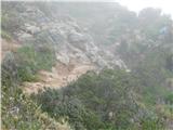 35
35 36
36 37
37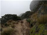 38
38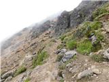 39
39 40
40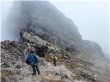 41
41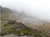 42
42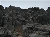 43
43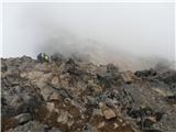 44
44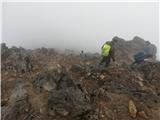 45
45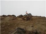 46
46 47
47