Dobra / Neuhaus am Klausenbach - St. Nikolaus (Kapfenstein) (through Hofwald)
Starting point: Dobra / Neuhaus am Klausenbach (315 m)
Starting point Lat/Lon: 46.86609°N 16.02626°E 
Path name: through Hofwald
Time of walking: 2 h 5 min
Difficulty: easy marked way
Difficulty of skiing: no data
Altitude difference: 96 m
Altitude difference (by path): 195 m
Map:
Access to starting point:
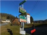
We drive to Rogašovci, and then we continue driving in the direction of Kuzma. When we get to Sotina, we turn left in the direction of the settlement Strgarjevo / Kalch. After crossing the national border, we turn right and then drive to the settlement Dobra / Neuhaus am Klausenbach, where at a small cross, where a road branches off to the left towards Romischeck and Sandriegel, the described path begins. We park somewhere else in the settlement Dobra.
Path description:
From the spot where we parked, we first walk to the crossroad mentioned in the access to the starting point and head onto the road in the direction of the hamlet Romischeck. The path initially leads quite gently through part of the settlement Dobra, and when the settlement ends, the road starts to ascend noticeably. Higher up, the themed trail Stara meja / Themenweg Alte Grenzen (Old Border) joins from the left, but we continue to the right. At the next crossroad, we also veer slightly to the right, and the path leads us through the settlement Romischeck. A little further, we reach the regional border, and we turn right here as well. Further on, we ascend for a short time between the forest on the left and agricultural fields on the right. When we enter the forest, we continue straight and bypass the observatory on the left side. After a few minutes of easy walking through the forest, we descend slightly and soon arrive at the cross Galgenkreuz.
After the cross, we go left and continue on a gently sloping asphalt road that initially still leads through the forest. Next follows a short descent, we leave the forest, then start ascending by the pasture, and past the farm arrive at a crossroad, where we go right. Next follows a short ascent, then we gradually start descending past occasional houses, and from the path a beautiful view opens up on castle Schloss Kapfenstein. Lower down, we reach the priority road, where we go left, and after the crossroad, we start ascending again. Next follows a few minutes of ascent, then a sidewalk appears by the road, along which we reach a marked crossing, where we go right upwards towards castle Schloss Kapfenstein. Next follows a steeper ascent, and in the middle of the nearby settlement, the path splits once again.
We continue left in the direction of the church (to the right castle Schloss Kapfenstein), which we reach among houses and past the school in approximately five minutes of additional walking.
The starting point - Galgenkreuz 0:45, Galgenkreuz - St. Miklavž 1:20.
The description and pictures refer to the condition in January and February 2024.
Pictures:
 1
1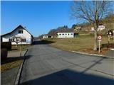 2
2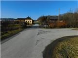 3
3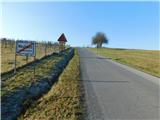 4
4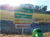 5
5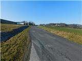 6
6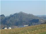 7
7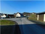 8
8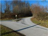 9
9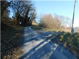 10
10 11
11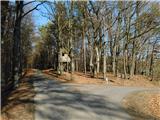 12
12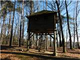 13
13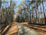 14
14 15
15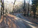 16
16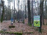 17
17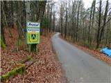 18
18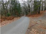 19
19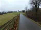 20
20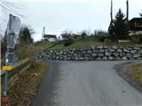 21
21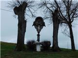 22
22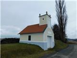 23
23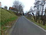 24
24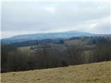 25
25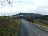 26
26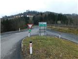 27
27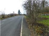 28
28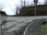 29
29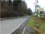 30
30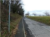 31
31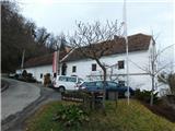 32
32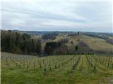 33
33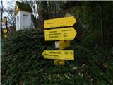 34
34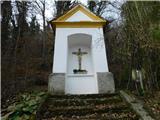 35
35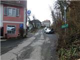 36
36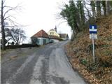 37
37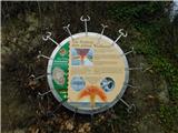 38
38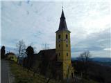 39
39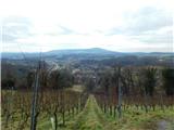 40
40