Dom na Paškem Kozjaku - Štrukljev vrh
Starting point: Dom na Paškem Kozjaku (960 m)
Starting point Lat/Lon: 46.3843°N 15.1883°E 
Time of walking: 1 h 30 min
Difficulty: easy marked way
Difficulty of skiing: no data
Altitude difference: 267 m
Altitude difference (by path): 420 m
Map: Šaleška dolina z okolico 1:50000
Access to starting point:
A) From the highway Ljubljana - Maribor we go to the exit Žalec, and then we continue driving in the direction of Velenje. In the main roundabout (2nd roundabout) in Velenje, below the ski jumping hill, we continue right in the direction of Slovenj Gradec. We drive through Velenje and the settlement Paka pri Velenju. After approximately 2 km after the settlement Paka pri Velenju, a sign with the caption Paški Kozjak points us right onto a local road towards the quarry. We turn onto it. We cross the bridge over the river Paka. Before the quarry the road turns left and after 6 km brings us to the mountain hut Dom na Paškem Kozjaku, where we park.
B) From Koroška we drive through Slovenj Gradec towards Velenje. Between the villages Gornji Dolič and Paka pri Velenju a sign with the caption Paški Kozjak points us left onto a local road towards the quarry. We turn onto it. We cross the bridge over the river Paka. Before the quarry the road turns left and after 6 km brings us to the mountain hut Dom na Paškem Kozjaku, where we park.
Path description:
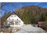
From the parking lot at the mountain hut Dom na Paškem Kozjaku we continue on a macadam road. Behind the water catchment we leave the road and turn left onto a footpath which after a few minutes brings us to the parking lot of the parish church of St. Jošt.
A mountain sign points us towards Basališče lightly uphill, away from the macadam road. At the beginning, the footpath is wide and pleasant. Also, the blazes are well visible. The footpath slowly brings us to the ridge, which is at first wider, but soon narrows a little. First rocks show up. Those are not high or precipitous, but on some spots still caution is needed. In the snow or ice the path is a little unpleasant, and in the dry it is very pleasant and full of small attractions. Quite quickly we get used to the notched narrow footpath which leads us by the left and right side of the ridge and mostly just on the very ridge. At first the footpath leads slightly upwards, then follows a shorter descent, and before the very peak it becomes steep.
The entire ridge is covered with trees. The view is only on some spots, and even then only in the winter time, when the trees are bare.
We continue walking straight on the ridge and we don't turn anywhere. Only here and there a view opens up on surrounding hills north of our ridge. After a short descent, we find ourselves on the edge of a grassy plain, which locals call Ostrica. In front of us on the right side we see our destination, Štrukljev vrh.
We continue walking by the edge of the forest on the left side or through the middle of a grassy valley. We go left towards the mountain signposts, which we see on one of the higher-lying trees near the hunting observatory. From here we cross a grassy plain and on the other side we look for the sign for the beginning of the path to Štrukljev vrh. Further, the path is well marked with red or white lines. To the top we have a little less than half an hour of walking on an easy but steep footpath.
Pictures:
 1
1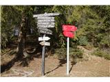 2
2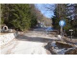 3
3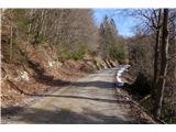 4
4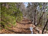 5
5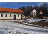 6
6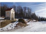 7
7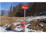 8
8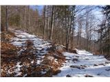 9
9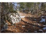 10
10 11
11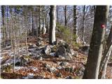 12
12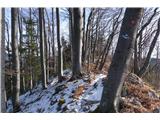 13
13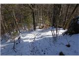 14
14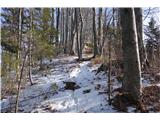 15
15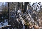 16
16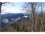 17
17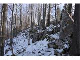 18
18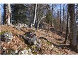 19
19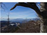 20
20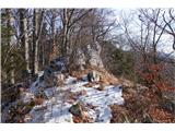 21
21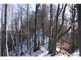 22
22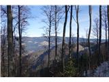 23
23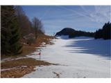 24
24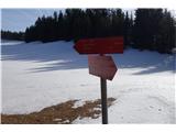 25
25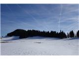 26
26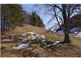 27
27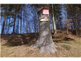 28
28 29
29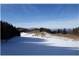 30
30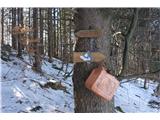 31
31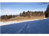 32
32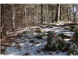 33
33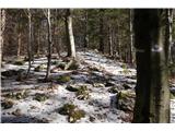 34
34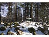 35
35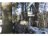 36
36 37
37 38
38