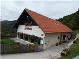
Dom pod Reško planino - Planinski dom Vrhe
Starting point: Dom pod Reško planino (644 m)
Starting point Lat/Lon: 46.20648°N 15.06421°E 
Time of walking: 3 h
Difficulty: easy marked way
Difficulty of skiing: no data
Altitude difference: 264 m
Altitude difference (by path): 325 m
Map:
Access to starting point:
From the road Prebold - Trbovlje, in the settlement Marija Reka we go right (from the direction Trbovlje left) on a side road in the direction of the mountain hut Dom pod Reško planino (at the crossroad there is a brown road sign with the caption "Pod Reško planino"). On an ascending and winding road we then drive to the mountain hut, or we can go also one more hairpin turn further to the parish church, where we park.
Path description:
From the parking lot near the mountain hut we go on a marked footpath in the direction of Reška planina, Zajčeva koča and Sveta Planina (Partizanski vrh). At first, we steeply ascend and after 5 minutes we get to the church of the Assumption of Mary, where we return on the asphalt road.
A little further from the church, where there is another parking lot, from a marked crossing we continue left upwards on an asphalt road (straight uphill Reška planina), which starts ascending diagonally. Higher, we get to the information board about geological soil compositions, where the road flattens. Next follows few minutes of crossing, and then we get to a marked crossing on the southwestern side of Reška planina.
We continue left downwards (right Reška planina along the ridge, Šmiglova vineyard cottage, Grajska vas, and Prebold).
Next follows some occasional descent, where we first bypass Jamškov vrh (811 meters) on the left, then also Nacetov vrh (828 meters) on the right, and past individual homesteads we arrive at a crossroad, where a path from Podmeja joins.
We continue right upwards and proceed walking on a slightly wider asphalt road, which leads us diagonally across the northwestern slopes of the hill Šterbenkel, higher up we pass a ski slope, and then we arrive at the slopes of the peak Javor. On some crossroads we follow the main road, and when we reach a little bigger crossroad at NOB monument we go right (left Sveta Planina) and we quickly get to the church of St. Lenart on Vrhe.
A few tens of meters further is also situated the mountain hut Planinski dom Vrhe.
Description refers to a condition in September 2020, and pictures are from various periods.
Pictures:
 1
1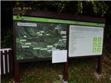 2
2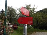 3
3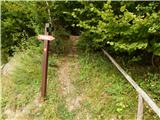 4
4 5
5 6
6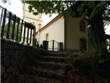 7
7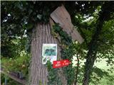 8
8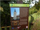 9
9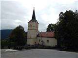 10
10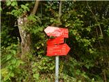 11
11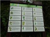 12
12 13
13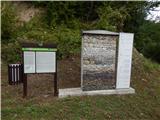 14
14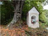 15
15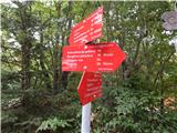 16
16 17
17 18
18 19
19 20
20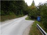 21
21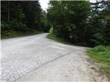 22
22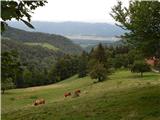 23
23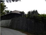 24
24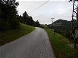 25
25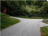 26
26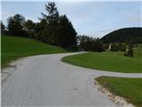 27
27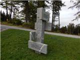 28
28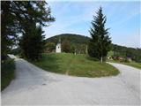 29
29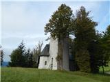 30
30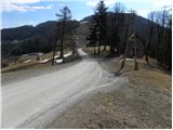 31
31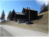 32
32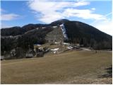 33
33