Dom Pristava in Javorniški Rovt - Španov vrh
Starting point: Dom Pristava in Javorniški Rovt (975 m)
Starting point Lat/Lon: 46.454°N 14.0921°E 
Time of walking: 1 h 30 min
Difficulty: easy unmarked way
Difficulty of skiing: easily
Altitude difference: 359 m
Altitude difference (by path): 400 m
Map: Karavanke - osrednji del 1:50.000
Access to starting point:
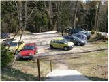
From the Ljubljana–Jesenice highway, take the Lipce exit and follow the road ahead in the direction of Jesenice. When we come to the traffic-light intersection where we join the old road, we continue right in the direction of Žirovnica. We follow this road only for a short time, because at the next somewhat larger intersection (traffic lights) we continue left in the direction of Javorniški Rovt. The road then goes through the underpass (railway) and then turns left (right Koroška Bela). We follow the road, which higher up starts to ascend steeply, in the direction of Javorniški Rovt. We then follow the mentioned road to the parking lot near the mountain hut.
Path description:
From the parking lot, we walk to the mountain hut, and then we continue the ascent on an initially poorly visible path, which ascends on the left side of the swampy pond. Further a clearly visible and wide path brings us, after 5 minutes of walking, to the road, where there is also a junction.
We continue straight (right Golica, left Javorniški Rovt) on the road in the direction of Črni vrh and Jelenkamen, which moderately ascends past holiday cottages. From the mentioned road soon a marked path to Jelenkamen branches off to the left, and we continue on the road for a few more minutes.
When the road turns sharply to the left, we will notice blazes, which direct us straight onto an initially wide track, which starts to ascend beside the stream. The path soon passes into dense forest, where it then continues on and beside a cart track. The marked path higher crosses a forest road and then flattens somewhat.
A little further ahead the path reaches a smaller indistinct saddle, after which it starts to descend gradually. There follows a few-minutes' walk through dense forest, where we cross a somewhat larger torrent stream. After the mentioned stream, the path ascends somewhat and brings us out of the forest onto grassy slopes, where we also leave the marked path, which leads towards the ski hut Črni vrh.
Just before the marked path goes back into the forest, we will notice on the right side a cart track, which starts to ascend steeply across increasingly panoramic grassy slopes. The cart track higher up disappears, and we continue in the same direction until we step onto the panoramic ridge. Here, from where a beautiful view opens up, we continue right and after a short ascent, which continues along the edge of the ski slope, we reach Španov vrh, which we recognize by the eponymous cableway.
Pictures:
 1
1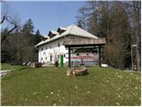 2
2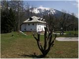 3
3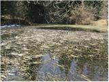 4
4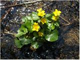 5
5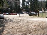 6
6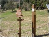 7
7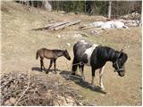 8
8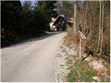 9
9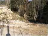 10
10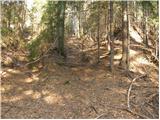 11
11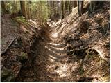 12
12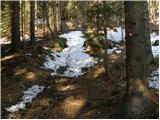 13
13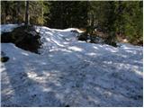 14
14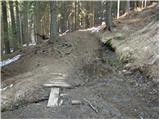 15
15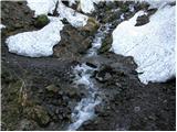 16
16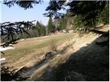 17
17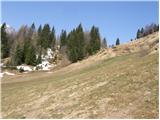 18
18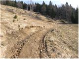 19
19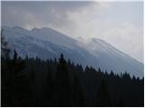 20
20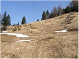 21
21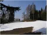 22
22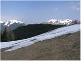 23
23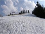 24
24 25
25