Dom v Dragi - Koča na Prevalu (via Luknja)
Starting point: Dom v Dragi (689 m)
Starting point Lat/Lon: 46.395°N 14.2183°E 
Path name: via Luknja
Time of walking: 1 h 30 min
Difficulty: partly demanding marked way
Difficulty of skiing: demanding
Altitude difference: 622 m
Altitude difference (by path): 622 m
Map: Karavanke - osrednji del 1:50.00
Access to starting point:
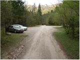
From the highway Ljubljana - Jesenice, we take the exit Radovljica (from the Gorenjska side, exit Lesce) and follow the road ahead in the direction of Begunje. At the end of the village Begunje, we turn left towards the Dom v Dragi (right Tržič). The asphalt road then brings us to the parking lot near the Dom v Dragi. We park a little further, as parking in front of the Dom v Dragi is allowed only for guests.
Path description:
From the parking lot, we continue on the road, which takes us past a bee house to a junction in a few minutes of walking, where we continue right in the direction of the Preval mountain pasture over Luknja (left Planinca mountain pasture, Poljška planina and Roblekov dom). The path ahead crosses the stream and then ascends gently for some time along the bottom of the valley.
Further, the valley narrows, and the path brings us in a moderate ascent to a narrow gully, through which we ascend steeply upwards with the help of fixed safety gear.
The short secured section is not particularly demanding technically, but it is exposed to falling stones.
Higher, the path brings us out of the gully, where it then continues for some time along the stream. There follows an ascent up a shorter ladder (undemanding), after which the path enters the forest, where it continues to a worse road.
We follow the aforementioned road for only a few steps, then the markers direct us right onto a marked footpath, which continues along and beside the cart track. Higher, the cart track finally turns into a footpath, which heads a little more to the right and begins to ascend ever more steeply. We follow this relatively steep path in the last part all the way to the Preval mountain pasture, which we reach after a few minutes of additional walking.
Pictures:
 1
1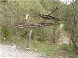 2
2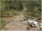 3
3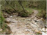 4
4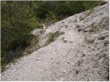 5
5 6
6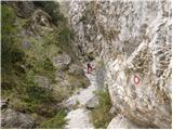 7
7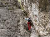 8
8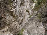 9
9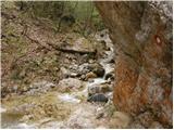 10
10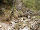 11
11 12
12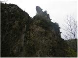 13
13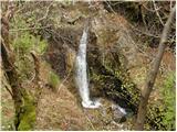 14
14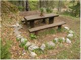 15
15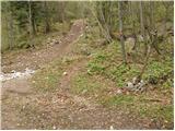 16
16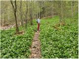 17
17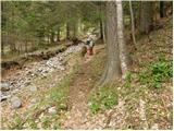 18
18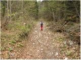 19
19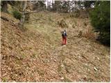 20
20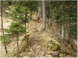 21
21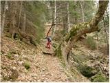 22
22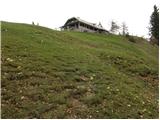 23
23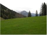 24
24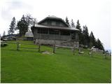 25
25