Dömös - Dobogó Kő (Lukács árők)
Starting point: Dömös (105 m)
Path name: Lukács árők
Time of walking: 2 h 30 min
Difficulty: easy marked way
Difficulty of skiing: no data
Altitude difference: 594 m
Altitude difference (by path): 610 m
Map:
Access to starting point:
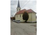
To Hungary we come over the border crossing Pince-Tornyszentmiklos. We continue on the highway all the way to Budapest in front of which we turn in the direction of Györ. We leave the highway at exit Herceghalom/Zsambek, and then we continue to town Dorog. Just before the mentioned town we will at the crossroad turn towards the settlement Esztergom. In Esztergom we go towards the east by the river Danube in the direction of Visegrad. When we come in the village Dömös we park on a parking lot, which is situated a little above the church. Parking lot isn't very well visible from the main road. For the parking lot we have to pay 1000 forint (year 2019).
Path description:
From the parking lot at the church, we continue towards the south, into a gorge on street Kiralykut utca. First 100 meters we are accompanied by red signs, and after the first crossing, where joins the path from the railway station also the other paths join. We soon leave the village and asphalt and we go over a small bridge into the forest. Further, we are ascending on a gently sloping path which leads us past a source Vizbanya and chapel Szentfa Kapolna.
Behind the chapel, we get to an abandoned building and a crossing, where we go right.
We cross the stream Malompatak and the road and we come on the path which is at first slightly, and then steeper and steeper ascending. Next follows crossing of several streams, and after the sharp turn path turns right towards the east. Next follows the most steep part of the path, after which the path flattens and it brings us to area named Rám Szakadék. Next follows some ascent and we get to a crossing, where the demanding path joins. Only a little further, we get to the next crossing, where the path from gorge Malompatak joins, and from the right joins the path from the village Pilismarot.
We continue to an asphalt road which we quickly leave. Next follows a longer ascent through a lane of a low forest and bushes, and higher we cross another forest road and a little higher we get to the ridge of the mountain Dobogo Kő. The path ahead turns slightly to the right and it brings us to a crossing, where we join the path from Esztergom.
The path ahead leads us on a forested ridge and higher we get to a viewpoint Rezső kilató. From here follows for approximately 10 minutes of walking to the top of Dobogó Kő, from where a nice view opens up towards the north and east.
By the summit there are TV transmitters, museum of Hungarian tourism and few catering facilities.
Pictures:
 1
1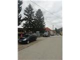 2
2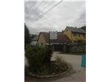 3
3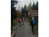 4
4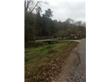 5
5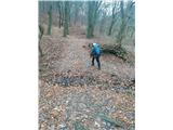 6
6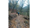 7
7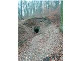 8
8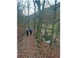 9
9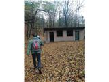 10
10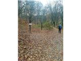 11
11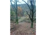 12
12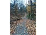 13
13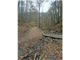 14
14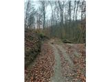 15
15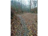 16
16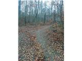 17
17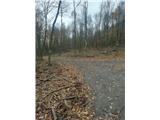 18
18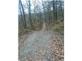 19
19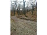 20
20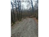 21
21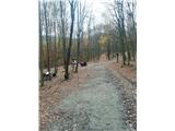 22
22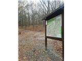 23
23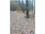 24
24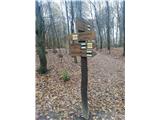 25
25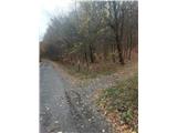 26
26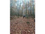 27
27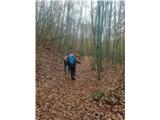 28
28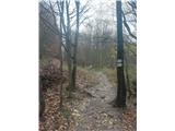 29
29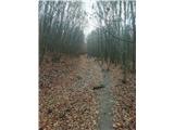 30
30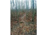 31
31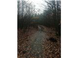 32
32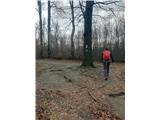 33
33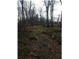 34
34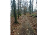 35
35 36
36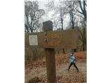 37
37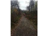 38
38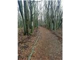 39
39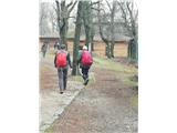 40
40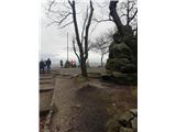 41
41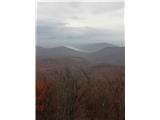 42
42