Dragomer - Strmca (via Debeli hrib)
Starting point: Dragomer (297 m)
Starting point Lat/Lon: 46.0181°N 14.3868°E 
Path name: via Debeli hrib
Time of walking: 1 h 15 min
Difficulty: easy marked way
Difficulty of skiing: no data
Altitude difference: 175 m
Altitude difference (by path): 300 m
Map: Ljubljana - okolica 1:50.000
Access to starting point:
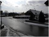
From highway Ljubljana - Koper, we go to the exit Brezovica, and then we continue driving on the parallel old road towards Vrhnika. After 4.5 km of driving, from the spot, when we got on the old road, we turn right towards the center of Dragomer. Immediately, when we got from the main road, marked path branches off to the right, at first road towards Debeli hrib. We park somewhere in Dragomer, best near the sports field.
Path description:
The path at first leads on the asphalt road, from which a nice view opens up on Dragomer. Asphalt soon ends, and the road passes into the forest, where we need to pay attention to the turn-off of marked mountain path to the right. The marked path at first relatively steeply ascends, and then passes on the ridge of Liparjev grič, where it turns to the left and flattens. Next follows a short descent through a lane of low bushes, and then the path returns into the forest and starts ascending on a marked cart track. Cart track, which is mostly ascending diagonally towards the left, we follow for quite some time, and then blazes lead us on for some time quite steep footpath which soon flattens. Higher, the path joins other cart track, on which we gradually ascend on an indistinct ridge of Debeli hrib.
Here at first from the left joins the path from Sveti Lovrenc (church above Dragomer), and a little further from the right also the path Cankarjeva pot. We continue on a marked path which starts gradually descending and in doing so, except for a few exceptions, it leads through the forest. When the path descends for few 10 meters, from the right joins also the marked path from Ključ or homestead Pavliček.
Here we continue straight as well and the path which is then ascending gently, we follow to the next near the crossing. Here, the path branches off to the left towards the homestead Ferjanka, and we continue slightly right, on the path which in few minutes of additional walking brings us on an indistinct and with a forest covered peak Strmca.
On the way: Liparjev grič (374m), Vrhovčev grič (495m)
Pictures:
 1
1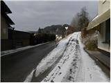 2
2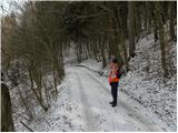 3
3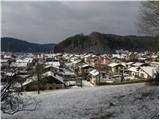 4
4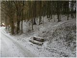 5
5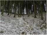 6
6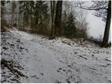 7
7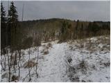 8
8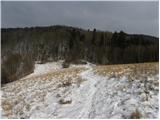 9
9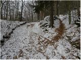 10
10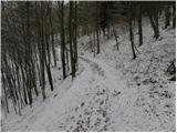 11
11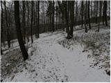 12
12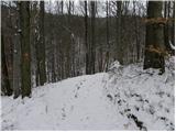 13
13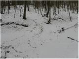 14
14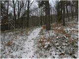 15
15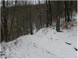 16
16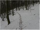 17
17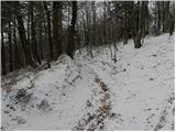 18
18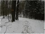 19
19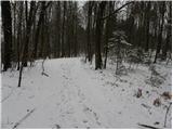 20
20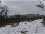 21
21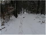 22
22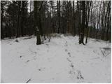 23
23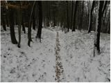 24
24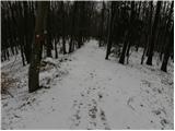 25
25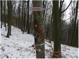 26
26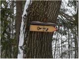 27
27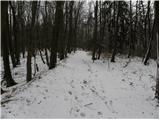 28
28 29
29 30
30