Drežnica - Gomiščkovo zavetišče na Krnu (pot Silva Korena)
Starting point: Drežnica (553 m)
Starting point Lat/Lon: 46.2555°N 13.617°E 
Path name: pot Silva Korena
Time of walking: 4 h 50 min
Difficulty: very difficult marked way
Difficulty of skiing: no data
Altitude difference: 1629 m
Altitude difference (by path): 1629 m
Map: Julijske Alpe - zahodni del 1:50.000
Access to starting point:
From Tolmin or Bovec we drive to Kobarid, from there we follow the road in the direction of Drežnica (the turn-off is from the Kobarid bypass). We continue across the bridge over the Soča River and immediately after the bridge we turn left in the direction of Drežnica. We then follow this mostly ascending road to the center of Drežnica, where we turn right and drive on to the primary school, which is the starting point of our path.
Path description:
From the parking lot, we go past the chapel and primary school on a marked path to Krn. Further, the path leads us through the forest and then by the pasture to the signpost Triglav National Park. Here also the path on the road joins (road from Drežnica) and we continue on a marked path, which a little higher crosses the stream Ročica, and then we get to a marked junction, where we continue left in the direction of bivouac and very difficult path to Krn (right easier path to Krn).
The path ahead passes into a dense forest, through which it moderately ascends along the stream Ročica. Further, the path turns a little to the right and takes us to Bivak na Črniku.
From the bivouac, we go sharply left and continue the ascent on the path which ascends through the forest. When after a few minutes of further walking we step out of the forest, we turn a little to the left, and after a shorter crossing of slopes below the walls of Krn we arrive at the beginning of the climbing part of the path.
Already right at the start of the climbing part, with the help of pegs and a steel cable we ascend almost vertically up the rocky slope. After a shorter very steep ascent, the path turns slightly to the left and for a short time becomes somewhat less demanding. There follows an ascent along the steel cable and then also a zig-zag ascent on a very steep and unsecured grassy slope (in wet conditions on this section there is a very high risk of slipping, and even in dry conditions considerable caution is required). The path ahead turns right and brings us to a marked junction.
The right (Western Drežnica) path crosses the exposed western slopes of Krn and further joins the path from the mountain pasture Kuhinja and the easier path from Drežnica, while we continue left in the direction of the Silva Korena path.
Further, the path runs along a very steep and exposed ridge, which however is well secured. Such a path then brings us to the logbox with the logbook, which is located before the most exposed part of the path. The path ahead runs along a relatively narrow and precipitous ridge, where we ascend twice on a vertical ladder. There follow some very steep ascents along the steel cable, after which the path levels out and brings us to Gomiščkovo zavetišče na Krnu.
Trip can be extended to: Krn
Pictures:
 1
1 2
2 3
3 4
4 5
5 6
6 7
7 8
8 9
9 10
10 11
11 12
12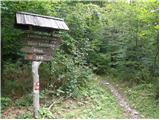 13
13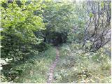 14
14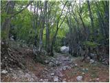 15
15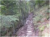 16
16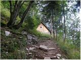 17
17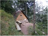 18
18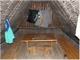 19
19 20
20 21
21 22
22 23
23 24
24 25
25 26
26 27
27 28
28 29
29 30
30 31
31 32
32 33
33 34
34 35
35 36
36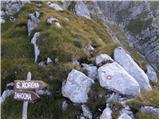 37
37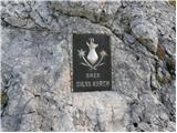 38
38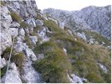 39
39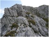 40
40 41
41 42
42 43
43 44
44 45
45 46
46 47
47 48
48 49
49 50
50 51
51 52
52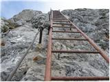 53
53 54
54 55
55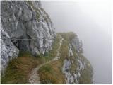 56
56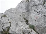 57
57 58
58 59
59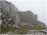 60
60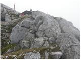 61
61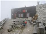 62
62