Drežniške Ravne - Curk Waterfall
Starting point: Drežniške Ravne (750 m)
Starting point Lat/Lon: 46.2729°N 13.6147°E 
Time of walking: 45 min
Difficulty: difficult marked way
Difficulty of skiing: no data
Altitude difference: 365 m
Altitude difference (by path): 380 m
Map: Julijske Alpe - zahodni del 1:50.000
Access to starting point:
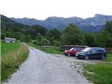
From Tolmin or Bovec we drive to Kobarid, from there we follow the road in the direction of Drežnica (turn-off of the road is from Kobarid bypass). We continue through a bridge over the river Soča and immediately after the bridge we turn left in the direction of Drežnica. In Drežnica we come to the crossroad, where branches off to the left road in the village Magozd, and we continue a little further to the next crossroad, where we turn left in the direction of Drežniške Ravne. The road then brings us to a crossroad in Drežniške Ravne, where we turn right upward in the direction of Krasji vrh. At the next crossroad, we again turn right and we follow the road to a trough with water, where the asphalt ends. Here is a smaller parking lot, where we park.
Path description:
From the parking lot, we continue a few tens of meters on the road, and then we reach a marked crossing. Signposts direct us to the right onto an initially grassy cart track. After a few meters, when the cart track splits, we continue on the left cart track, which leads us into the forest. Further, we walk for some time through the forest on a slightly worn cart track, marked with fairly sparse triangular blazes. The path then turns to the right and crosses the usually dry riverbed of the stream Obevnik. The cart track transitions into a footpath, and a little higher, we reach a slightly wider cart track. For a few meters, we continue right on the cart track, and then signposts guide us to the left onto a footpath.
Here, we ascend a bit more steeply and higher up, we cross a grazing fence. Further, we then walk on grassy terrain, which leads us to another cart track where there is a marked crossing. Nearby is also a trough with water.
The path straight upwards leads towards Planina Zapleč, and we continue right on a cart track where signs direct us to Curk Waterfall. We continue on a scenic cart track and soon cross another grazing fence. Further, we still walk on the aforementioned cart track, which runs mostly through meadows with a beautiful view of the surrounding peaks. The path then leads us past another signpost and bench and begins to slightly descend through the forest. After a short descent, we reach another signpost, after which we go left towards Curk Waterfall. To the right, downwards, the path leads towards Drežnica.
From the crossing, the path soon becomes narrower and brings us to warning signs indicating that access to the waterfall is at our own risk. From here, the path becomes challenging and, with the aid of steel cables, crosses a very steep slope above the gorge. This path then leads us to a bench, from where there is a stunning view of the waterfall. From here, we can also continue along a narrow footpath by the stream to the small pool below the waterfall.
Pictures:
 1
1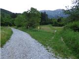 2
2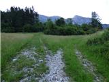 3
3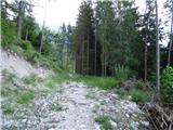 4
4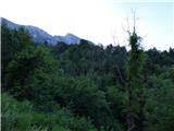 5
5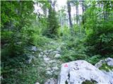 6
6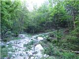 7
7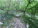 8
8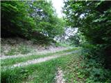 9
9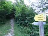 10
10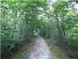 11
11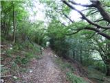 12
12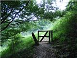 13
13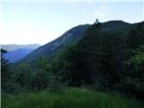 14
14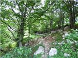 15
15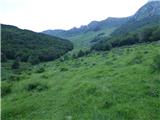 16
16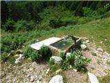 17
17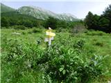 18
18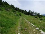 19
19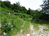 20
20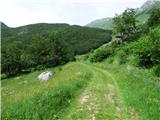 21
21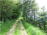 22
22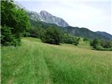 23
23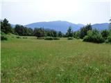 24
24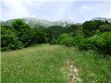 25
25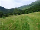 26
26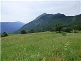 27
27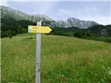 28
28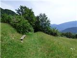 29
29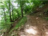 30
30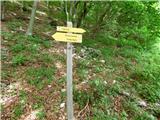 31
31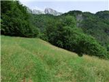 32
32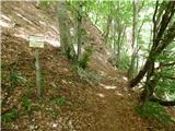 33
33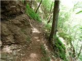 34
34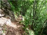 35
35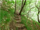 36
36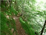 37
37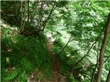 38
38 39
39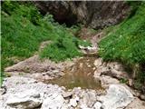 40
40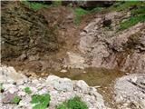 41
41 42
42