Ehrwald - Hochfeldern Alm
Starting point: Ehrwald (1108 m)
Starting point Lat/Lon: 47.38801°N 10.93843°E 
Time of walking: 2 h 20 min
Difficulty: easy marked way
Difficulty of skiing: easily
Altitude difference: 624 m
Altitude difference (by path): 624 m
Map:
Access to starting point:
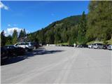
Through the Karawanks Tunnel, we drive to Austria, and then we continue driving towards Spittal and forward towards Lienz (a little after Spittal highway ends). Further, we drive on a relatively nice and wide road through Drau valley, which brings us in Italy. The road further leads past Dobbiaco / Toblach and Brunico / Bruneck. We still continue on the main road and then we join the highway towards Austria (direction Brenner, Innsbruck). In Innsbruck we continue on the highway which runs towards the west by the river Inn (at the highway junction direction Innsbruck-West). We leave the highway at exit for mountain pass Fernpaß. We continue driving through the mentioned mountain pass and when the road starts descending we continue right towards the settlement Ehrwald (at the turn-off there are also signs for Zugspitze). When we drive through the settlement Ehrwald we go right towards the cableway Ehrwalder Almbahn. Further, the road starts ascending, and we all the time follow the signs for the mentioned cableway. We park on one of the parking lots at the bottom station of the cableway.
Path description:
At the bottom station of the cableway at first we continue right on the road, and after few ten meters, we continue left on a macadam road following the signs »Ehrwalder Alm«.
From the crossroad a relatively gently sloping road runs by the forest and soon brings us to another crossing. At the crossing, we continue straight on the road, and demanding path (Immensteig) towards the lake Seebensee branches off to the right.
The road further runs by the ski slope by the edge of the forest and leads us past the bottom station of the chairlift and a smaller cottage by the path. At the cottage where a view opens up towards the summit Westliche Plattspitze, we continue slightly left and we start ascending a little steeper. The road then brings us into the forest and continues to ascend quite steeply. Higher, we come on the left side of the cable car and we are still ascending through the forest. When we again come out of the forest on a ski slope, our path turns right and then again runs on the right side of the cableway. The road further all the time runs near the cableway by the ski slope. Such a path from which also increasingly beautiful views opening up then soon brings us to cottages on the mountain pasture Ehrwalder Alm where there is also an upper station of the cable car. To mountain pasture is otherwise also in the summer months possible to come with cableway.
From the upper cableway station we continue on a macadam road which quickly brings us to a crossroad. We continue on the left road, straight leads the path to the nearby inn Gasthof Alpenglühn and forward towards the lake Seebensee and mountain hut Coburger Hütte. Only after few ten meters of walking, we come to another crossing. This time we continue on a macadam road slightly right and we follow the signs for mountain pasture Hochfeldern Alm.
Further, we for some time walk on a quite gently sloping macadam road which all the time runs towards the east. After approximately a little less than half an hour of walking from the mountain pasture Ehrwalder Alm, the path brings us to another marked crossing.
We go left on a footpath (Max Klotz Steig) towards the mountain pasture Hochfeldern Alm, and straight on the road leads a slightly longer path to same mountain pasture and the path towards the valley Gaistal. From the crossing, we at first ascend on a grassy slope by the ski slope, and then the path brings us into the forest. A well-beaten path through the forest at first ascends a little steeper, and then in a gentle ascent crosses a slope towards the east. Such a path then soon again joins the macadam road. From here only a short ascent follows on the road to the mountain hut on the mountain pasture Hochfeldern Alm.
Pictures:
 1
1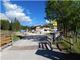 2
2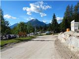 3
3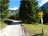 4
4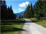 5
5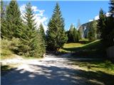 6
6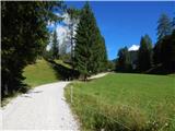 7
7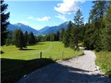 8
8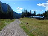 9
9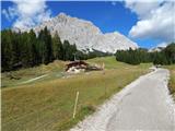 10
10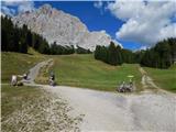 11
11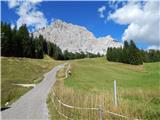 12
12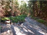 13
13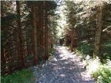 14
14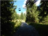 15
15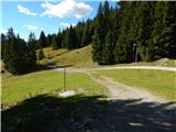 16
16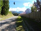 17
17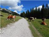 18
18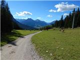 19
19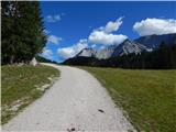 20
20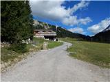 21
21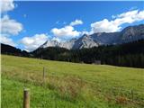 22
22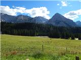 23
23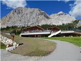 24
24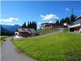 25
25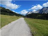 26
26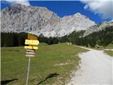 27
27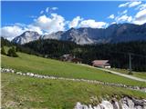 28
28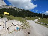 29
29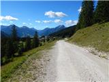 30
30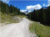 31
31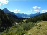 32
32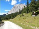 33
33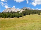 34
34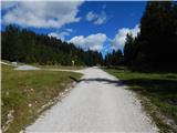 35
35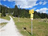 36
36 37
37 38
38 39
39 40
40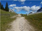 41
41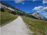 42
42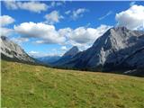 43
43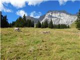 44
44 45
45