Starting point: Fala Grad (328 m)
Starting point Lat/Lon: 46.54493°N 15.44543°E 
Time of walking: 1 h 15 min
Difficulty: easy unmarked way
Difficulty of skiing: no data
Altitude difference: 377 m
Altitude difference (by path): 385 m
Map: Pohorje 1:50.000
Access to starting point:
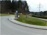
We drive into Ruše, and then we follow the road towards Lovrenc na Pohorju. After the castle Fala Grad we reach the bus stop Grad Fala, where the described path begins. At the starting point, there aren't any parking spots for mountaineers.
Path description:
From the starting point, we head onto a macadam road that begins to the left of the high-voltage power line route. The road immediately starts ascending and leads us to the left of the fenced pasture. Higher up, we pass by individual houses, and then the road enters the forest, where we reach a small saddle.
From the saddle, we turn right towards the sawmill Pušnik (left Činžat, straight Puščava) and continue briefly through the forest.
When we leave the forest, we continue straight, then pass the farm Korman Pucer. Next follows the crossing of a high-voltage power line route and an ascent to the homestead Matec (marked as Murko on maps), where the forest learning trail Ruta begins.
A little further from the homestead, signs of the learning trail direct us slightly right onto a poorer macadam road, which begins to ascend more steeply. Higher up, we reach a smaller crossroad, where a silhouette of a chamois directs us sharply left, passing benches and information boards of the learning trail. Further on, the road becomes increasingly worse and gradually turns into a more and more scenic cart track. When we reach the ridge a little higher, we leave the forest learning trail Ruta and continue sharply left onto an unmarked path, which ascends diagonally along the western side of the ridge. A little further at a small crossing, we go left, then quickly reach Lobnikov vrh, where a salt lick is located.
For a beautiful view, we return to the spot where we left the learning trail and continue along the scenic ridge, or slightly to the right of it, to a marked vantage point, from which views open up towards the river Drava and the surrounding hills when looking to the left and right.
The description and pictures refer to the condition in March 2024.
On the way: Ruta (517m)
Pictures:
 1
1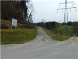 2
2 3
3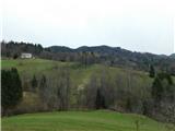 4
4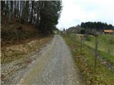 5
5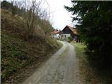 6
6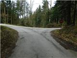 7
7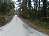 8
8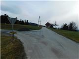 9
9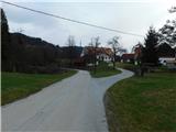 10
10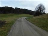 11
11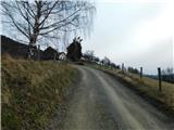 12
12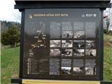 13
13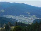 14
14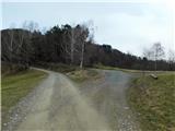 15
15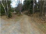 16
16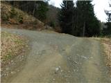 17
17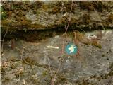 18
18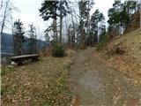 19
19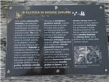 20
20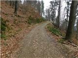 21
21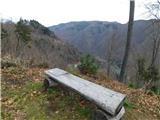 22
22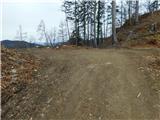 23
23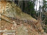 24
24 25
25 26
26 27
27 28
28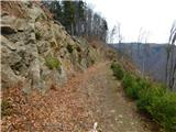 29
29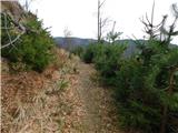 30
30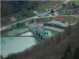 31
31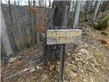 32
32 33
33