Farm Rovtar - Tošč (Via Dida)
Starting point: Farm Rovtar (521 m)
Starting point Lat/Lon: 46.0922°N 14.34°E 
Path name: Via Dida
Time of walking: 1 h 15 min
Difficulty: partly demanding unmarked way, easy marked way
Difficulty of skiing: no data
Altitude difference: 500 m
Altitude difference (by path): 500 m
Map: Polhograjsko hribovje in Šmarna Gora - 1:25.000
Access to starting point:
We arrive at the Rovtar farm by driving through the Ločnica valley (sign for Topol, Katarina in the village Sora pri Medvodah) and approximately 1 km after the Legastja inn we turn right following the signs for Gonte. If we come from the Katarina side, the turn-off is on the left side after approximately 1.5 km of descent.
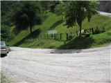
Rovtar is the first farm on the left after approximately one kilometer of driving (meanwhile the road loses its asphalt covering). We can park at the marked junction (Sora - Gonte) below the farm or 200 meters higher on the 180-degree bend.
Path description:
The path starts by the road below the Rovtar farm, namely 30 meters before the wooden fountain by the road, which strictly turns left in the bend. In the forest by the stream we have to look for the narrow footpath, which is well visible. Further there are no more problems with followability.
The path first along the cliffs of the waterfall and with increasingly beautiful views steeply ascends through the forest. On certain sections due to the steepness of the footpath caution is needed, otherwise wooden fences also help us. Higher we go right at the fork and arrive in the bed of the gully with a stream and local water intake. Further we stick to this forest gully all the time (straight at the next junction). Eventually we arrive at the ridge Govejek - Gonte, where we step onto the macadam road.
We continue in the direction of Tošč (left Grmada and Gonte, right Govejek and Osolnik) and continue the ascent on the path which returns into dense forest. The path ahead steeply ascends for a short time, then flattens and joins the path from the tourist farm Gonte. Here we continue right and follow the occasionally quite steep path which runs on and along the forested ridge all the way to the top of the 1021 m high Tošč.
Pictures:
 1
1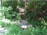 2
2 3
3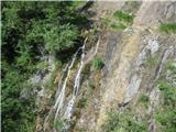 4
4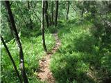 5
5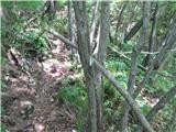 6
6 7
7 8
8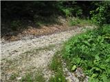 9
9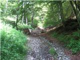 10
10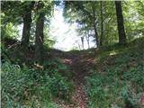 11
11 12
12 13
13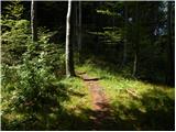 14
14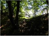 15
15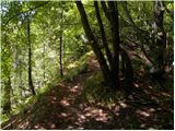 16
16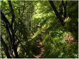 17
17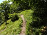 18
18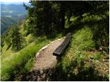 19
19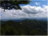 20
20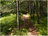 21
21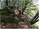 22
22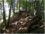 23
23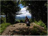 24
24 25
25