Feistritzsattel - Großer Pfaff (easier path)
Starting point: Feistritzsattel (1298 m)
Starting point Lat/Lon: 47.56759°N 15.86505°E 
Path name: easier path
Time of walking: 1 h 45 min
Difficulty: easy unmarked way
Difficulty of skiing: no data
Altitude difference: 257 m
Altitude difference (by path): 350 m
Map:
Access to starting point:
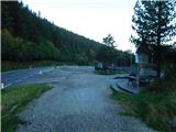
Highway A2 Graz - Vienna / Wien we leave at the exit for Gleisdorf West, and then we follow the signs for Hartberg and Weiz, and later only Weiz. At the beginning of Weiz, we go from the roundabout in the direction of the exit for the settlement Birkfeld and then we follow the road all the way to the mentioned settlement, from where we follow the signs for Rettenegg. The mentioned settlement we bypass on the right side, and then we ascend to the mountain pass Feistritzsattel, where we park.
Path description:
From the parking lot, we head on the path toward the mountain pass Pfaffensattel and initially walk along an asphalt road that begins descending toward the settlement Otterthal. We soon leave the asphalt road and continue slightly left in the direction of a marked path that starts ascending on a macadam road. The macadam road splits after a few minutes of ascent, and we continue slightly left (slightly right Alpkogel) and keep ascending. When we reach a clearing with a junction of multiple cart tracks, we choose the left marked cart track, along which the blazes continue. The cart track ends higher up, and we continue on a steeper mountain path that eventually leads us out of the forest. Upon leaving the forest, the path flattens, then with a moderate ascent, we reach the secondary peak of Harterkogel, where a cross is situated.
The marked path bypasses the cross slightly to the left, and we follow the path, which offers increasingly beautiful views, to the indistinct peak of Harterkogel, where we notice a smaller cross with the peak's inscription.
The marked path bypasses the cross on the right side, and we begin gently to moderately descending, during which we see the peak Großer Pfaff ahead and, to its right, the highest peak of the Mountains east of the Mur, Stuhleck. A little further, the path briefly flattens or ascends for a few steps, then leads us near a pond, which we bypass on the left side. From here, a light and short ascent follows, then we begin descending through a spruce forest and blueberry bushes toward the saddle east of the peak Großer Pfaff. On the mentioned saddle we reach an older clearing, where the first and somewhat harder path branches off slightly to the left towards Großer Pfaff, while we continue on the marked path, which turns slightly to the right and, in a gentle descent, enters the forest, where it then crosses the northern slopes of the just-mentioned summit.
When the crossing ends, in the area of the saddle between the peaks Großer Pfaff and Kleiner Pfaff, we continue sharply left towards the summit of Großer Pfaff.
The path, which is no longer marked, begins to ascend steeply, initially leading through the forest and higher up through dwarf pines. When the steepness eases, we quickly reach the panoramic summit.
The starting point - Harterkogel 0:50, Harterkogel - Großer Pfaff 0:55.
The description and pictures refer to the condition in May and September 2023.
Pictures:
 1
1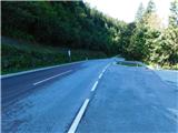 2
2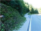 3
3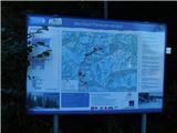 4
4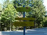 5
5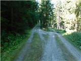 6
6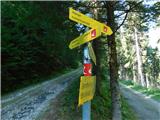 7
7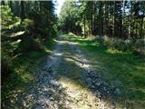 8
8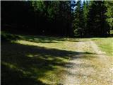 9
9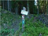 10
10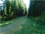 11
11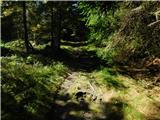 12
12 13
13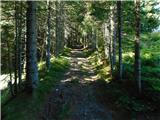 14
14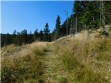 15
15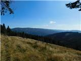 16
16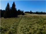 17
17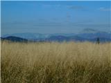 18
18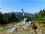 19
19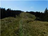 20
20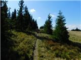 21
21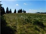 22
22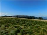 23
23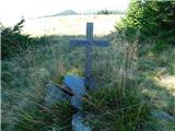 24
24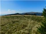 25
25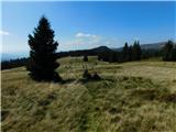 26
26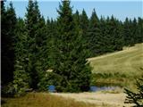 27
27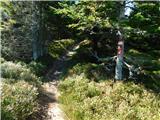 28
28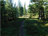 29
29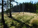 30
30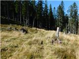 31
31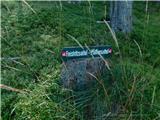 32
32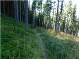 33
33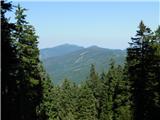 34
34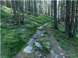 35
35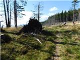 36
36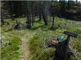 37
37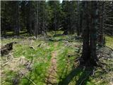 38
38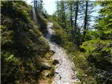 39
39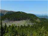 40
40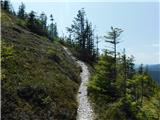 41
41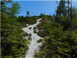 42
42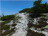 43
43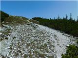 44
44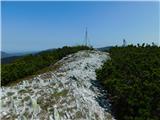 45
45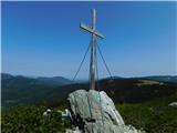 46
46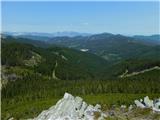 47
47