Furlanovo zavetišče pri Abramu - Vojkova koča na Nanosu
Starting point: Furlanovo zavetišče pri Abramu (900 m)
Starting point Lat/Lon: 45.8199°N 14.0196°E 
Time of walking: 2 h
Difficulty: easy marked way
Difficulty of skiing: no data
Altitude difference: 340 m
Altitude difference (by path): 380 m
Map: Nanos 1:50.000
Access to starting point:
A) From the highway Ljubljana - Koper, take the exit Razdrto and continue driving on the old road through Razdrto towards Vipava valley. After a few kilometers of descent on a fairly winding road, we will arrive at a crossroads, where the road towards Nanos branches off to the right. Turn onto the mentioned road, which starts to ascend more steeply. When higher up the road flattens and swings from the steep slope onto the plateau, we will arrive at a crossroads, where we continue left in the direction of Abram. In all subsequent crossroads, follow the road towards Furlanovo zavetišče pri Abramu. Park on the large parking lot by the nearby hunting lodge.
B) From the expressway Nova Gorica - Razdrto, take the exit Vipava and follow the road ahead towards Podnanos. From Podnanos continue driving on the old road towards Razdrto. Soon we come to a crossroads, where the road towards Nanos branches off sharply to the left. Turn onto the mentioned road, which starts to ascend more steeply. When higher up the road flattens and swings from the steep slope onto the plateau, we will arrive at a crossroads, where we continue left in the direction of Abram. In all subsequent crossroads, follow the road towards Furlanovo zavetišče pri Abramu. Park on the large parking lot by the nearby hunting lodge.
Path description:
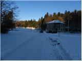
From the parking lot, we continue on the road in the direction of Vojkova koča and Podnanos. The gentle road quickly brings us to a smaller hamlet, where we continue on the upper left road. The road ahead leads along the edge of the forest, from where a beautiful view of the Dolomites opens up. A little further ahead, the road enters a dense forest and brings us to the next crossroads, where we continue straight. Through the forest we walk a few more minutes, then the road brings us to increasingly panoramic slopes. Here we will notice signs for Vojkova koča, which direct us left onto a marked but partly somewhat overgrown footpath. After the initial ascent, the path quickly flattens and brings us to plateau-like terrain. Somewhat further, we cross a short strip of shrubbery, and the path then continues for some time across vast and partly overgrown karst meadows. A short ascent follows, and the path brings us to the next road, which we follow right downhill. After a short descent, we leave the road again and continue the ascent left onto a marked cart track, along which we first ascend relatively steeply, then gently. Further on, we ascend along the edge of the indistinct valley Ječmenovec; higher up the path enters the forest, through which it climbs to an unvegetated saddle northwest of Laniški vrh (1236 m).
From the saddle, a descent follows to the nearby road, which leads to Vojkova koča; we merely cross it and continue on the marked hiking path. The path soon turns slightly left and higher up returns to the mentioned road. On the moderately steep path, from which some views occasionally open up, it then continues alternately through the forest and partly on the macadam road. We follow this path all the way to Vojkova koča na Nanosu.
Pictures:
 1
1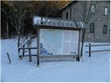 2
2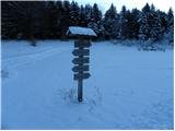 3
3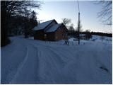 4
4 5
5 6
6 7
7 8
8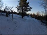 9
9 10
10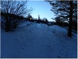 11
11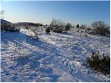 12
12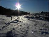 13
13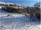 14
14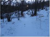 15
15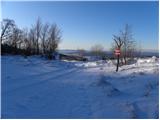 16
16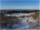 17
17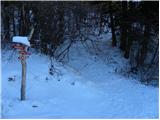 18
18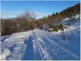 19
19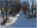 20
20 21
21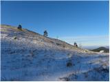 22
22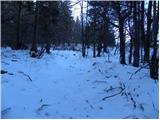 23
23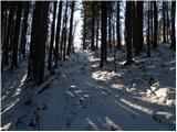 24
24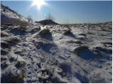 25
25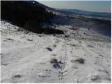 26
26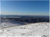 27
27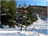 28
28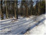 29
29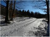 30
30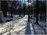 31
31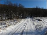 32
32 33
33 34
34 35
35 36
36 37
37 38
38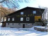 39
39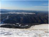 40
40 41
41