Starting point: Gabrče (575 m)
Starting point Lat/Lon: 45.7094°N 14.0111°E 
Time of walking: 2 h
Difficulty: easy marked way
Difficulty of skiing: easily
Altitude difference: 452 m
Altitude difference (by path): 500 m
Map:
Access to starting point:
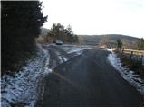
From the highway Ljubljana - Koper we go to the exit Senožeče. When we leave the highway, at the first crossroad we continue left in the direction of Senožeče. In Senožeče, we turn right in the direction of Divače and follow the road ahead to the spot, where the road branches off to the left into the village Gabrče. We follow this road through the village and we park on a smaller parking lot right next to a smaller crossroad, which is situated after the village.
Path description:
From the parking lot, we continue on the left worse (marked) road which after a few minutes of walking starts moderately ascending. After a short ascent, we join the other wide macadam road which we follow left. This road quickly brings us to a crossroad, where we notice the first signs. Here we continue left upwards on the road which soon comes out of the forest on panoramic slopes. At an altitude of 800m, near the mountain signposts, we leave the road and we go right on a footpath which crosses a shorter lane of a pine forest. The path then passes on extensive grassy slopes of Vremščica, which offer nice views. The path ahead occasionally crosses some shorter lane of forest but quickly leaves it. We mostly follow the path which ascends only gently in the southeastern direction. After some time from the right, the path from the Škocjan Caves joins and only a little further from the left the path from Senožeče. After both crossings, the path for a short time ascends and after 15 minutes of ascent on the upper ridge, it brings us to the summit of Vremščica.
Pictures:
 1
1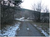 2
2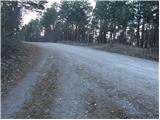 3
3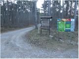 4
4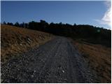 5
5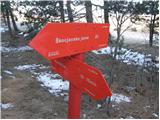 6
6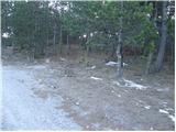 7
7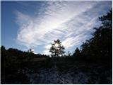 8
8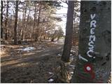 9
9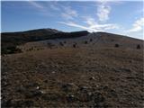 10
10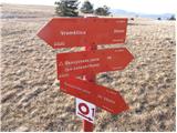 11
11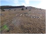 12
12 13
13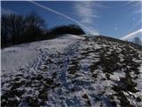 14
14 15
15