Starting point: Gabrovo (500 m)
Starting point Lat/Lon: 46.1587°N 14.2911°E 
Time of walking: 1 h 30 min
Difficulty: easy marked way
Difficulty of skiing: easily
Altitude difference: 525 m
Altitude difference (by path): 425 m
Map: Škofjeloško in Cerkljanjsko hribovje 1:50.000
Access to starting point:
First, we drive to Škofja Loka and from there we continue driving in the direction of Gorenje vasi. In the village Podpulfrca (which is located immediately after Škofja Loka) we leave the main road and turn right in the direction of the villages Breznica and Gabrovo (there is also a sign by the road for the mountain hut Koča na Lubniku). We then follow the ascending road to a sharp left bend, where parking is possible, or we drive a little further to the crossroads, where a road sharply branches off to the right towards the village Gabrovo. Here we can park on one of the smaller parking lots near the crossroads (parking in the village Gabrovo is not possible).
Path description:
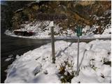
If we've parked at the bend, we head onto the footpath with signs "Dom na Lubniku". The well-marked path brings us to the village Gabrovo after approximately half an hour of walking from the starting point.
If we drove a little higher, we first walk to the crossroads, where the road to the village Gabrovo branches off. We then follow this slightly ascending road to the mentioned village, where we join the path from the lower starting point.
From the village Gabrovo we continue on the forest road closed to traffic, which slightly ascends along the edge of the forest. After a few minutes of walking on this road, we leave it as the blazes direct us slightly to the right onto a footpath that immediately steeply ascends. After a few steps the steepness eases and the path continues ascending through dense forest. A little higher, the path joins a wide cart track, which we follow to the right. The cart track then takes us past a smaller already overgrown clearing, after which we reach a junction.
We continue left on the gentle and marked cart track, which after a few minutes of further walking turns into a moderately steep footpath. Higher up, the path widens and shortly after joins a wide partly stone-paved cart track that comes from the village Breznica. We continue the ascent on the mentioned cart track, which continues ascending through the forest. A little higher, the path from Podlubnik joins from the right, and we continue on the cart track, which after a few more minutes of walking brings us to the summit of Lubnik.
Pictures:
 1
1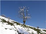 2
2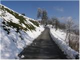 3
3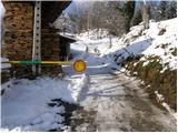 4
4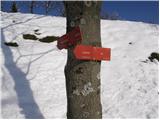 5
5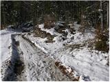 6
6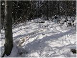 7
7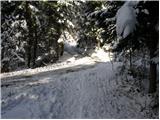 8
8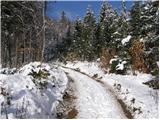 9
9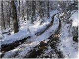 10
10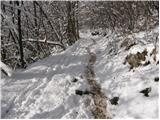 11
11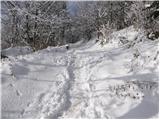 12
12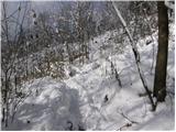 13
13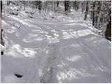 14
14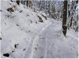 15
15 16
16 17
17 18
18 19
19 20
20