Gajševsko jezero - Gajševci Lake (path around the lake)
Starting point: Gajševsko jezero (181 m)
Starting point Lat/Lon: 46.53144°N 16.12567°E 
Path name: path around the lake
Time of walking: 50 min
Difficulty: easy marked way
Difficulty of skiing: no data
Altitude difference: 5 m
Altitude difference (by path): 25 m
Map:
Access to starting point:
We leave Pomurska highway at the Vučja vas exit, and then follow the signs for Ljutomer. When we arrive in Ključarovci, from the roundabout after the Petrol gas station, we take the exit toward the center of Ključarovci. We continue through the settlement, and when Ključarovci ends, from the crossroad we proceed straight toward the settlements of Grabe and Branoslavci. When the settlement of Grabe ends, we cross the Ščavnica river, then turn right into the parking lot by lake Gajševsko jezero, where the described path begins.
Path description:
From the parking lot, we walk to the embankment of the lake, then continue right (also possible left, but it is orientationally slightly more challenging) and proceed along a maintained footpath that leads along the initially eastern, then northern side of the lake. With beautiful views of the lake and its surroundings, we then reach the western side of the lake, where the path leads us to an asphalt road. We follow the road to the left, first crossing the river Ščavnica, then gradually ascending through a strip of forest. When the forest ends, we arrive at the settlement Gajševci, where we turn left onto a side road that takes us past a few houses. Behind the last house, the road becomes a macadam and re-enters the forest. This is followed by a gentle ascent and later a descent, after which we leave the forest and, passing by a field, return to the embankment of the lake. In a few steps from the cart track, we climb onto the embankment, along which we then continue to the point where we first stepped onto it, and from there, it’s just a short walk back to the parking lot.
The description and pictures refer to the condition in September 2024.
On the way: Gajševci (192m)
Pictures:
 1
1 2
2 3
3 4
4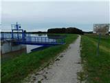 5
5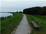 6
6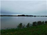 7
7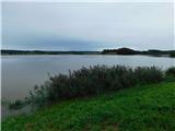 8
8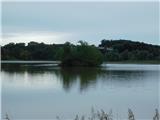 9
9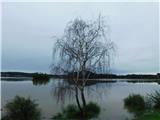 10
10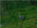 11
11 12
12 13
13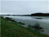 14
14 15
15 16
16 17
17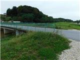 18
18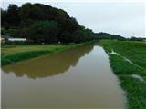 19
19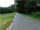 20
20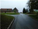 21
21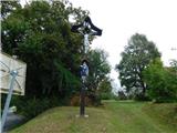 22
22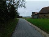 23
23 24
24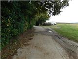 25
25 26
26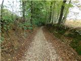 27
27 28
28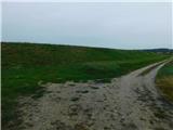 29
29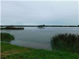 30
30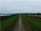 31
31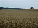 32
32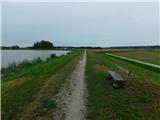 33
33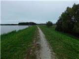 34
34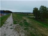 35
35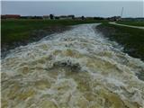 36
36