Golnik - Tolsti vrh (via Ježa)
Starting point: Golnik (510 m)
Starting point Lat/Lon: 46.3276°N 14.33°E 
Path name: via Ježa
Time of walking: 3 h 15 min
Difficulty: easy marked way
Difficulty of skiing: no data
Altitude difference: 1205 m
Altitude difference (by path): 1205 m
Map: Karavanke - osrednji del 1:50.000
Access to starting point:
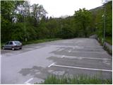
From the Ljubljana - Jesenice highway, we take the Kranj - west exit and follow the road ahead in the direction of Golnik. When we arrive at Golnik, at the top of the hill we turn right in the direction of Golnik Hospital. We park on one of the large parking lots, which is situated a little below the hospital.
Path description:
From the parking lot, we walk to the hospital, which we bypass on the left side, then we come to mountain signposts which direct us to a footpath that ascends along the fence. After a few steps, we cross the road, then the footpath that ascends above the village leads us into the forest, where it starts to ascend more steeply. The path after a short ascent joins a wide cart track, on which we continue an easy ascent. After a few minutes, a marked footpath branches off to the right from the cart track, which soon brings us to another cart track, which we also soon leave. We continue the ascent on a quite steep path, which higher brings us to a vantage point (view of Gorenjska and Jelovica).
After the vantage point, the path flattens and turns quite to the left, where it then continues in a moderate ascent. Higher, the footpath turns slightly to the right, where it then brings us to the village of Gozd in a few minutes of further walking. Here we continue past a few houses, then we join the path from Zavetišče v Gozdu.
We continue right in the direction of Kriška gora and follow the road, which leads us past two successive NOB monuments, to its end. From the end of the road, we continue slightly left and continue the ascent on a wide and steep cart track, which quickly brings us to the place where it splits into two parts. We continue on the right cart track in the direction of Storžič, Tolsti vrh and Mala and Velika Poljana (left Koča na Kriški gori). The cart track, which ascends transversely towards the east, has some junctions in the lower part, but they are well marked, so there are no major orientation problems. Higher, the cart track turns into a gradually steeper footpath, which brings us from the forest to panoramic grassy slopes. After a while, the path flattens and brings us to a pleasant viewpoint with a bench, beside which we notice a memorial.
Further, the path crosses a steep grassy slope (danger of slipping and in winter also avalanche danger) and then enters a dense forest, where we reach a marked junction. We continue left (straight to Velika and Mala Poljana over Štajnarica) in the direction of Tolsti vrh and continue steeply upwards on the path. The steep path, which is especially slippery when wet and ascends transversely to the right, brings us higher from the forest to a panoramic grassy slope, where it turns slightly to the left. A few more minutes of steep ascent follow, then the path from Dom pod Storžičem and Mala Poljana joins from the right.
We continue in the direction of Tolsti vrh and continue the ascent on the still quite steep path, which through a sparse belt of forest brings us to the summit slope of the mountain. Here the path flattens slightly and brings us to the summit in a few minutes of further walking.
Golnik - Gozd 1:00, Gozd - Tolsti vrh 2:15.
On the way: Gozd (891m)
Pictures:
 1
1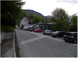 2
2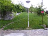 3
3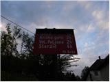 4
4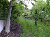 5
5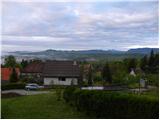 6
6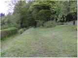 7
7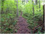 8
8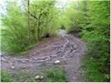 9
9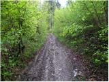 10
10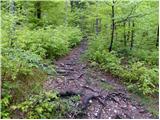 11
11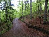 12
12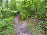 13
13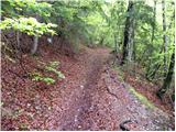 14
14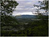 15
15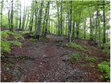 16
16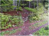 17
17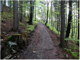 18
18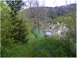 19
19 20
20 21
21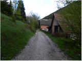 22
22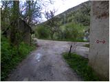 23
23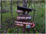 24
24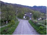 25
25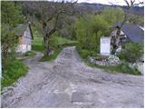 26
26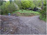 27
27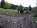 28
28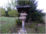 29
29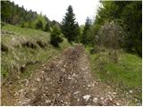 30
30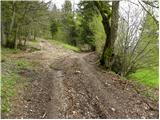 31
31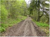 32
32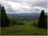 33
33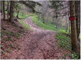 34
34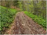 35
35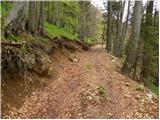 36
36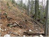 37
37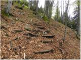 38
38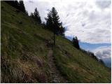 39
39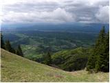 40
40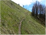 41
41 42
42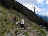 43
43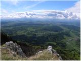 44
44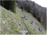 45
45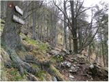 46
46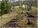 47
47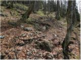 48
48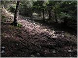 49
49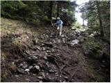 50
50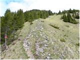 51
51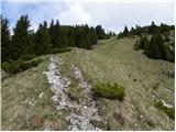 52
52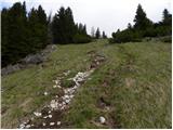 53
53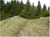 54
54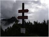 55
55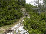 56
56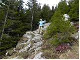 57
57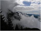 58
58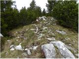 59
59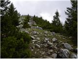 60
60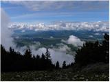 61
61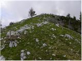 62
62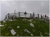 63
63 64
64