Gorica pri Slivnici - Peseke
Starting point: Gorica pri Slivnici (276 m)
Starting point Lat/Lon: 46.1879°N 15.42985°E 
Time of walking: 30 min
Difficulty: easy marked way
Difficulty of skiing: no data
Altitude difference: 152 m
Altitude difference (by path): 155 m
Map:
Access to starting point:
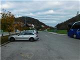
We leave the Štajerska highway at the Dramlje exit, then follow the signs for Šentjur. From the center of Šentjur, we continue briefly towards the settlement of Šmarje pri Jelšah, but soon turn right onto the road towards Podsreda and Planina pri Sevnici. When Šentjur ends, we soon turn left from the main road in the direction of Podsreda, Kozje, and Gorica pri Slivnici. When we arrive at the settlement of Gorica pri Slivnici, we park in the parking lot by the bus stop, where we also notice hiking signposts.
Path description:
From the starting point, we head in the direction of signs for Gradišče, Sveta Helena, Col, and Žusem, and from the nearby roundabout, we turn left following the signs for Sveta Helena, Peseke, and Žusem. Further, we walk for a few more minutes on the sidewalk, then carefully cross the road at the pedestrian crossing and continue right along the path toward Sveta Helena, proceeding on a side road that ascends to a few houses. Before the last house, we turn right onto a macadam road that initially leads into the forest; after leaving the forest higher up, we ascend in two hairpin turns to a viewpoint at the inscription box for Peseke.
Description and pictures refer to the condition in November 2023.
Pictures:
 1
1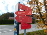 2
2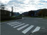 3
3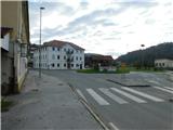 4
4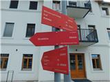 5
5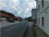 6
6 7
7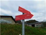 8
8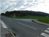 9
9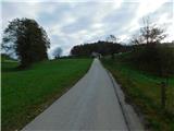 10
10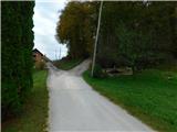 11
11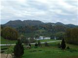 12
12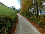 13
13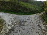 14
14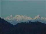 15
15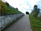 16
16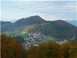 17
17 18
18