Gorica pri Slivnici - Žusem (Panoramska pot)
Starting point: Gorica pri Slivnici (276 m)
Starting point Lat/Lon: 46.1879°N 15.42985°E 
Path name: Panoramska pot
Time of walking: 3 h 20 min
Difficulty: easy marked way
Difficulty of skiing: no data
Altitude difference: 393 m
Altitude difference (by path): 755 m
Map:
Access to starting point:
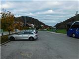
We leave the Štajerska highway at the Dramlje exit, then follow the signs for Šentjur. From the center of Šentjur, we continue briefly towards the settlement of Šmarje pri Jelšah, but soon turn right onto the road towards Podsreda and Planina pri Sevnici. When Šentjur ends, we soon turn left from the main road in the direction of Podsreda, Kozje, and Gorica pri Slivnici. When we arrive at the settlement of Gorica pri Slivnici, we park in the parking lot by the bus stop, where we also notice hiking signposts.
Path description:
From the starting point, we head in the direction of signs for Gradišče, Sveta Helena, Col, and Žusem, and from the nearby roundabout, we turn left following the signs for Sveta Helena, Peseke, and Žusem. Further, we walk for a few more minutes on the sidewalk, then carefully cross the road at the pedestrian crossing and continue right along the path toward Sveta Helena, proceeding on a side road that ascends to a few houses. Before the last house, we turn right onto a macadam road that initially leads into the forest; after leaving the forest higher up, we ascend in two hairpin turns to a viewpoint at the inscription box for Peseke.
The path ahead turns left, and the asphalt ends just a little higher up. We continue on a poorer road leading toward the last house, and just before the house or outbuilding, we veer slightly left onto a footpath that leads into the forest. In the forest, the path turns right, and at several crossings, we follow the trail blazes. Next follows a descent, and upon leaving the forest, we reach a narrower asphalt road, along which we continue descending. When we reach the crossroad by the chapel, we continue left, then moderately ascend to a hamlet of clustered houses, where we turn right in the direction of Sveta Helena. Some ascent through the forest follows, and upon leaving the forest, we continue climbing with increasingly beautiful views that extend all the way to the Alps. Such a path, which higher up leads past a few more houses, we follow to the inscription box near the church of Sveta Helena, which is located a few tens of meters to the right of the inscription box.
From the inscription box, we go left, where a beautiful view opens up on Boč and Donačka gora, and the road then starts to descend noticeably. Next follows a longer descent, where at a few crossroads we follow the blazes, and the path gradually brings us from the slopes into the valley. When we reach the crossroads with the priority road, we turn right (left towards Tourist farm Žurej and Žusem on a steep path) and walk for a few minutes on a gently sloping asphalt road. When we arrive at the settlement Hrastje, we turn left at the chapel towards the Tower of Love. Next follows an ascent on a narrower asphalt road, where at a few smaller crossroads we keep to the right turn-offs or follow signs for the Tower of Love. Higher up, the asphalt ends, and the path leads past a cross to the quarry, which we bypass on the left, upper side. Above the quarry, the road transitions into the forest and, a little further on, turns left. Next follows a diagonal ascent towards the left, at a former homestead where an old route of the path Panoramska pot joins from the left, and the path turns back to the right. Next follows some traversing on a macadam road, and when we reach an asphalt road on the southern side of the mountain, we turn left and then immediately left again onto a footpath towards the Tower of Love and Žusem. The path ahead leads us along a forested cart track, which in a few minutes emerges from the forest, where the path passes by a double hayrack. Next follows an ascent through a meadow, where at the top we reach a beautiful viewpoint with a panorama board displaying marked peaks. Next follows a short, easy descent, after which the path returns to the forest, which we quickly leave. Upon leaving the forest, a beautiful view opens up on the right towards the church of St. Valentin, and the path soon re-enters the forest, through which we continue on a marked trail all the way to the Tower of Love on Žusem.
Starting point - Peseke 0:30, Peseke - Sveta Helena 0:45, Sveta Helena - Žurej 2:05.
Description and pictures refer to the condition in November 2023.
Pictures:
 1
1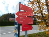 2
2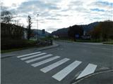 3
3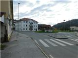 4
4 5
5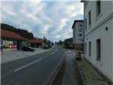 6
6 7
7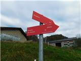 8
8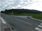 9
9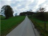 10
10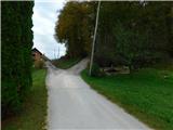 11
11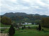 12
12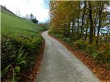 13
13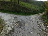 14
14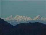 15
15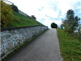 16
16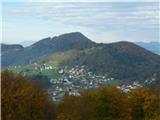 17
17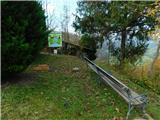 18
18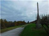 19
19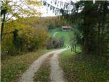 20
20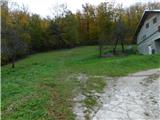 21
21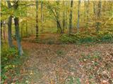 22
22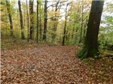 23
23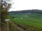 24
24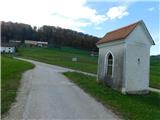 25
25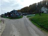 26
26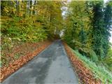 27
27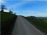 28
28 29
29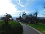 30
30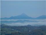 31
31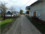 32
32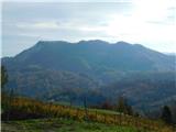 33
33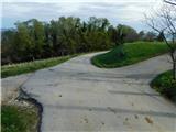 34
34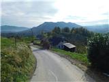 35
35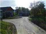 36
36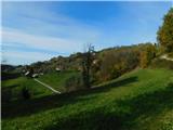 37
37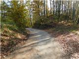 38
38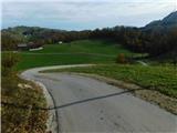 39
39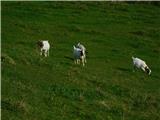 40
40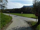 41
41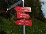 42
42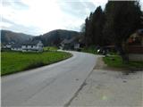 43
43 44
44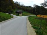 45
45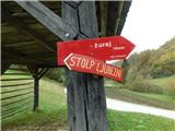 46
46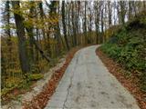 47
47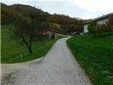 48
48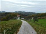 49
49 50
50 51
51 52
52 53
53 54
54 55
55 56
56 57
57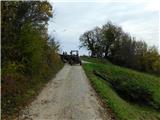 58
58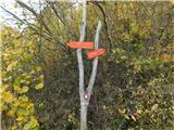 59
59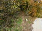 60
60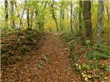 61
61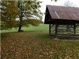 62
62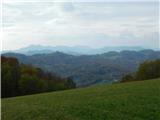 63
63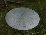 64
64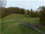 65
65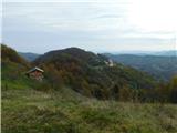 66
66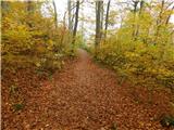 67
67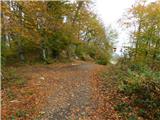 68
68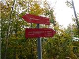 69
69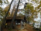 70
70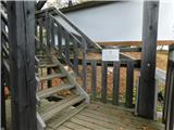 71
71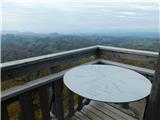 72
72 73
73