Gornja Radgona (OŠ Gornja Radgona) - Viewpoint Kapela
Starting point: Gornja Radgona (OŠ Gornja Radgona) (225 m)
Starting point Lat/Lon: 46.67482°N 15.98968°E 
Time of walking: 3 h
Difficulty: easy marked way
Difficulty of skiing: no data
Altitude difference: 87 m
Altitude difference (by path): 250 m
Map: Turistična karta Štajerska 1:50.000
Access to starting point:
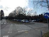
A) We leave the Pomurska highway at the exit Lenart v Slovenskih goricah, and then follow the road in the direction of Gornja Radgona. When we get to Gornja Radgona, in the center of the town we turn right in the direction of the bus station, cemetery and primary school. After the bus station, the road starts ascending, and we drive along it to a larger parking lot between Primary School Gornja Radgona and Cemetery Gornja Radgona.
B) We drive to Radenci, and then follow the road towards Gornja Radgona, where in the center of the town we turn sharply left towards the bus station, primary school and cemetery. After the bus station, the road starts ascending, and we drive along it to a larger parking lot between Primary School Gornja Radgona and Cemetery Gornja Radgona.
Path description:
From the parking lot, we continue on the road or sidewalk ahead, where we quickly get to the settlement Hercegovščak. A little further, the sidewalk ends, and we go left towards Police, where past a pond we get to the settlement Norički Vrh. Next follows some somewhat steeper ascent, when the road turns right a short path branches off sharply to the left to the panoramic Norički vrh (5 minutes), and we continue on the asphalt road. A little further, we get to Police, where we go past a few houses, but mostly the path runs among vineyards.
Further on follow a few smaller crossroads, where we follow the main road, and when we start to descend gently another path from Gornja Radgona, which leads via Piramida, joins from the right.
A little further, at the stop sign we go slightly right, and a little further at the transformer and a bigger chapel we go left. At the next crossroad, where at the stop sign there is a somewhat ambiguously placed trail blaze, we go left and continue on the asphalt road which passes into the forest (right - tourist farm Roškar and Anina klet). When we leave the forest, follows crossing of panoramic slopes, and when we return on an indistinct ridge we get to the village Zbigovci.
In Zbigovci at the smaller unmarked crossroad we go slightly left, so that we continue on Trstenjakova pot. For some time we then continue straight, and from a somewhat bigger crossroad at the religious symbol and information board Natura 2000 we go left. Again follows some minor descent, and when from the left another road from Gornja Radgona or Črešnjevci joins we go slightly right. The path ahead gets close to a lookout tower, which is privately owned and which we bypass on the left side (right - Rodmošci and Trstenjakova pot). Next follows some easy walking and we get to the settlement Orehovski Vrh, where we continue straight. Next follows some descent, and signs for Pomurska mountain trail quickly point us to the right towards a smaller hamlet, where we bypass the houses on the right side. The path ahead leads us on a cart track which passes into the forest, and after a few minutes of ascent we leave the forest and past the nearby house we reach the macadam road, on which we ascend more steeply to the asphalt road. We follow the road to the left (right - Stavešinski Vrh) and continue walking through the settlement Ptujska Cesta. A little after the inn Ajda we leave the asphalt and go slightly right on a macadam road which leads us right of the nearby houses.
At the inn, pizzeria and brewery Kostanj we reach a somewhat wider road, and we follow it to the right. When the mentioned road turns somewhat to the right, we leave it and past the chapel we enter the municipality Radenci. We continue among individual houses and vineyards, and blazes from the main path point us to the left on a side road, and before the nearby house we go right. For a short time we continue on the macadam road, and then we return on the asphalt road, where at the crossroad we continue left (right - Očeslavci). The path ahead leads us through Janžev Vrh, from where beautiful views open up.
Next follow some crossroads, where we follow the blazes or signs for Kapelski Vrh, and in a gentle descent we then reach the village Kobilščak. We still follow the blazes and a little further we get to the village Radenski Vrh, from where already a nice view opens up towards the church of St. Mary Magdalene or vantage point Kapela.
Further past the sports field Kapela we reach the road Radenci - Sveti Jurij ob Ščavnici, and we follow it to the right. The path ahead leads us on a sidewalk, and a little further on the pedestrian crossing we carefully cross it.
On the other side of the road we lightly ascend, then cross also the side road, and on the other side we go right and then immediately left on a steeper narrower asphalt path, on which with increasingly beautiful views we ascend to the church of St. Mary Magdalene on the 312-meter-high hill.
Description and pictures refer to the condition in March 2021.
On the way: Norički Vrh (255m), Hercegovščak (247m), Police (317m), Zbigovci (298m), Orehovski Vrh (269m), Ptujska Cesta (304m), Janžev Vrh (297m), Kobilščak (292m), Radenski Vrh (300m)
Pictures:
 1
1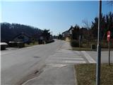 2
2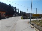 3
3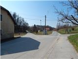 4
4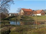 5
5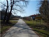 6
6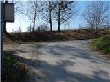 7
7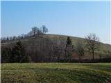 8
8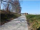 9
9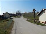 10
10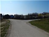 11
11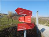 12
12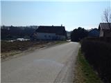 13
13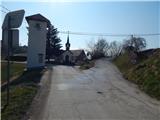 14
14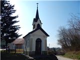 15
15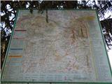 16
16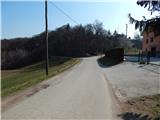 17
17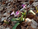 18
18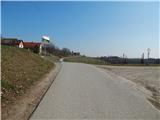 19
19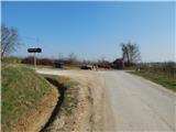 20
20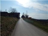 21
21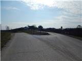 22
22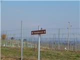 23
23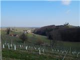 24
24 25
25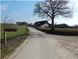 26
26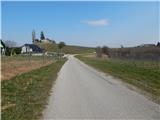 27
27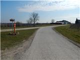 28
28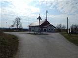 29
29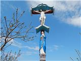 30
30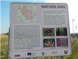 31
31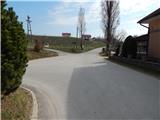 32
32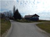 33
33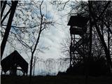 34
34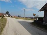 35
35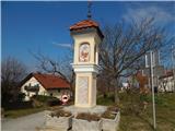 36
36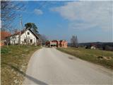 37
37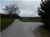 38
38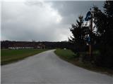 39
39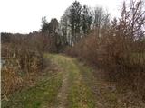 40
40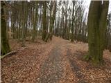 41
41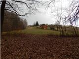 42
42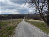 43
43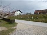 44
44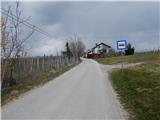 45
45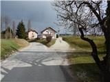 46
46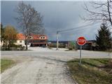 47
47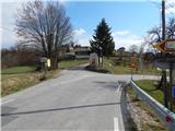 48
48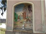 49
49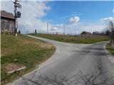 50
50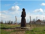 51
51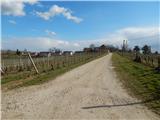 52
52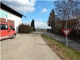 53
53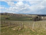 54
54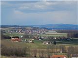 55
55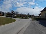 56
56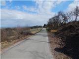 57
57 58
58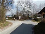 59
59 60
60 61
61 62
62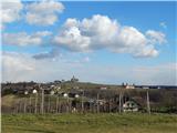 63
63 64
64 65
65 66
66 67
67 68
68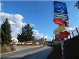 69
69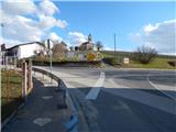 70
70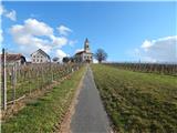 71
71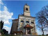 72
72 73
73 74
74