Grahovše - Bela peč (via Boršt)
Starting point: Grahovše (800 m)
Starting point Lat/Lon: 46.3664°N 14.3518°E 
Path name: via Boršt
Time of walking: 2 h 30 min
Difficulty: easy marked way
Difficulty of skiing: easily
Altitude difference: 783 m
Altitude difference (by path): 783 m
Map: Karavanke - osrednji del 1:50.000
Access to starting point:
From highway Ljubljana - Jesenice we go to the exit Ljubelj (Tržič), and then we continue driving towards Ljubelj. Just before the gas station in Bistrica pri Tržiču we leave the main road and we continue driving right in the direction of Tržič. Further, we drive through Tržič in the direction of gorge Dolžanova soteska, and then at the end of the town we continue right in the direction of Lom pod Storžičem and Grahovše. When we get to Grahovše we drive on the road to the nearby quarry, by which there is a marked parking lot.
Path description:
From the parking lot, we continue on the road by which we've parked and already after few steps we come at two crossroads. In the first crossroad we continue straight (right over a bridge is a village) in second we come to mountain signposts. Here we go left on the upper path with signs Javornik, Stegovnik and Bela peč.
The road here starts moderately ascending and in parts runs over panoramic meadows. The road then brings us to the next crossroad, where we go again left (right farm Rekar). The road then crosses private land, where there is a gate and soon after that, it comes to the next crossing. We go on the left road and we follow it to the spot, where the marked path on the mountain pasture Spodnja Konjščica branches off to the right.
The path ahead goes into the forest, steeply ascends and after good 20 minutes of additional walking brings us on the road. When we step on the road, marked path to a viewpoint "on Boštu" branches off to the left (5 minutes), and we continue right on the road which after a short ascent brings us out of the forest on an ample mountain pasture Spodnja Konjščica, on which there are two smaller shepherd huts.
From the hut, we continue on the mountain pasture slightly upwards and the path again brings us into the forest. After a short ascent through the forest we reach the mountain pasture Zgornja Konjščica.
Here the path descends for few meters and then again slightly ascends. The path brings us to a crossing, where we go right on a vantage point Bela peč (straight mountain hut Koča na Javorniku). To there we have only three minutes of easy walking.
Grahovše - Spodnja Konjščica 1:45, Spodnja Konjščica - Bela peč 45 minutes.
Pictures:
 1
1 2
2 3
3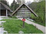 4
4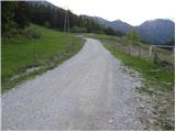 5
5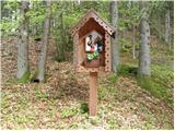 6
6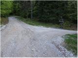 7
7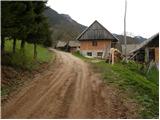 8
8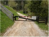 9
9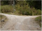 10
10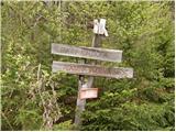 11
11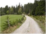 12
12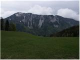 13
13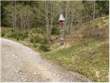 14
14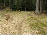 15
15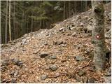 16
16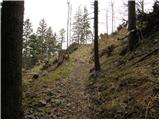 17
17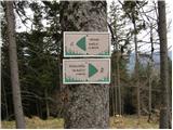 18
18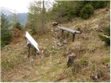 19
19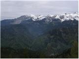 20
20 21
21 22
22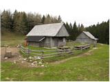 23
23 24
24 25
25 26
26 27
27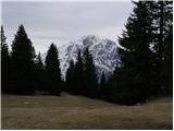 28
28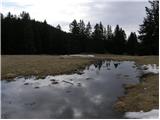 29
29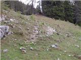 30
30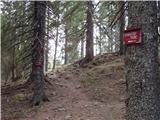 31
31 32
32