Starting point: Hodoš (258 m)
Starting point Lat/Lon: 46.82763°N 16.32664°E 
Time of walking: 20 min
Difficulty: easy unmarked way
Difficulty of skiing: no data
Altitude difference: -15 m
Altitude difference (by path): 10 m
Map: Pomurje 1:40.000
Access to starting point:
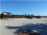
We drive to Murska Sobota, and then we follow the signs for Hodoš. When we get to Hodoš, we turn left towards the center of the settlement, where at the municipal building we turn right and past the succursal primary school we drive to the nearby cemetery, where we park on a larger asphalted parking lot.
Path description:
From the parking lot, we return to the municipal building, and then we continue right, where we walk on a sidewalk, which leads us through the village. At the turn-off of the road to the right towards the settlement Glava Zale / Szalafo the sidewalk ends, and by the edge of the road, we continue to the end of the settlement Hodoš and even a little further to the nearby crossroad, where a macadam road branches off to the left, on which we can get to Dolenci.
We continue straight and after a few steps of additional walking, we reach a wooden projecting roof, where we leave the road and ascend onto the nearby embankment, from which a beautiful view opens up on lake Hodoško jezero.
Description and pictures refer to a condition in March 2021.
Pictures:
 1
1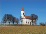 2
2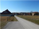 3
3 4
4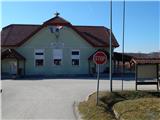 5
5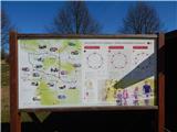 6
6 7
7 8
8 9
9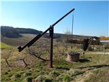 10
10 11
11 12
12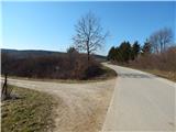 13
13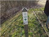 14
14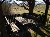 15
15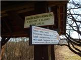 16
16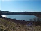 17
17