Hrašče - Sveti Hieronim (via Brižnik)
Starting point: Hrašče (225 m)
Starting point Lat/Lon: 45.7926°N 13.9852°E 
Path name: via Brižnik
Time of walking: 2 h 30 min
Difficulty: easy marked way
Difficulty of skiing: no data
Altitude difference: 795 m
Altitude difference (by path): 795 m
Map: Nanos 1:50.000
Access to starting point:
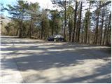
A) From highway Ljubljana - Koper, we go to the exit Razdrto, and then we continue driving on the old road towards Nova Gorica. After Razdrto the road starts steeply descending, and we follow it to a crossroad, where the road towards Nanos branches off to the right. We go on the mentioned road, where after first sharp right turn we park on an appropriate place by the next smaller crossroad.
B) From highway Nova Gorica - Razdrto, we go to the exit Vipava, and then we continue driving on the old road towards Razdrto, and we are driving there only few kilometers, and then signs for Nanos point us sharply left on an ascending road. We go on the mentioned road, where after first sharp right turn we park on an appropriate place by the next smaller crossroad.
Path description:
From the starting point, we go on a side road, by which we notice signs for Nanos and hunting cottage. Some meters we walk on the mentioned road, and then blazes point us to the right on a marked footpath which starts ascending through the forest. A little higher we cross the asphalt road, when we step on it second time, we continue there over the highway. On the other side of the highway, which we cross right at the beginning of tunnel, the road, on which we are ascending, gradually turns to the right. On the asphalt we walk to the end of next hairpin turn, and from there we go right on a marked footpath which higher returns on the road.
When we again step on the road we follow it to the right (straight on a footpath - path past Korita), and we walk there for some time. Higher, the path towards the village Lozice branches off to the right downwards, and only a little higher we continue left on a footpath which soon crosses a road which we just left. Only few steps higher we step on a wide cart track and we follow it to the right. At the crossings, we follow the cart track in the direction where blazes point us to, and higher it changes into a wide footpath. Next follows few more minutes of ascent and the path brings us to a crossing, where the path from Lozice joins.
Here we continue left in the direction of the hunting cottage, and relatively wide path, in numerous zig-zags leads over steeper and steeper slopes. A relatively steep path, occasionally leads over quite panoramic slopes, from which a nice view opens up towards Vipavska brda. Higher, we get to a little more demanding part, where otherwise wide path ascends diagonally over a short exposed slope (mainly in snow and ice is dangerous for slipping). Above exposed traverse we get to a marked crossing, where we continue sharply right in the direction of "Strmec" (left downwards Podnanos, straight hunting cottage Vojkovo).
The path ahead becomes pretty steep and much less beaten, but orientationally not very demanding. Higher, the path brings us out of the forest and after the slope break entirely flattens. Here we continue straight on a barely visible footpath, on which in 2 minutes of additional walking, we join well-beaten and marked path hunting cottage Vojkovo - Vojkova koča na Nanosu.
When we reach the mentioned path we follow it to the right (left hunting cottage 10 minutes), and further it leads over grassy slopes, which are occasionally covered with bushes and individual pine trees. Easy and barely ascending path, then for a short time joins the road, but already after few steps leaves it. The path then avoids the road a little more to the right and starts moderately ascending on the more and more panoramic slopes of Nanos. Here from the right joins an unmarked path, which a little lower branched off to the right. The path ahead becomes slightly steeper and after few minutes of additional walking brings us to already from the far visible church of St. Hieronima.
Pictures:
 1
1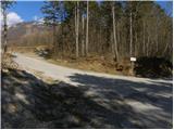 2
2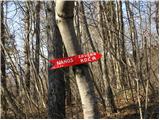 3
3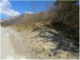 4
4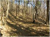 5
5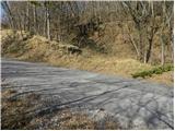 6
6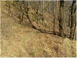 7
7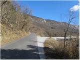 8
8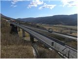 9
9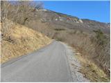 10
10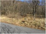 11
11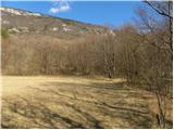 12
12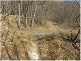 13
13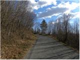 14
14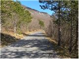 15
15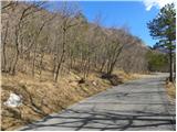 16
16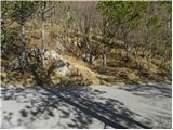 17
17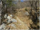 18
18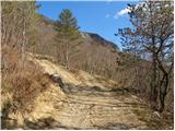 19
19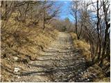 20
20 21
21 22
22 23
23 24
24 25
25 26
26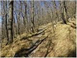 27
27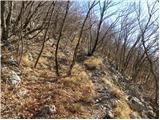 28
28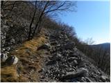 29
29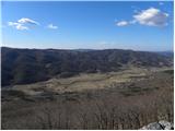 30
30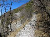 31
31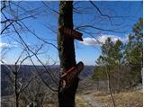 32
32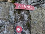 33
33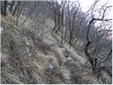 34
34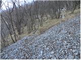 35
35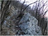 36
36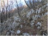 37
37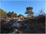 38
38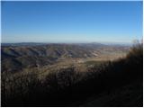 39
39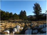 40
40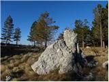 41
41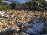 42
42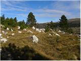 43
43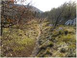 44
44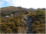 45
45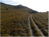 46
46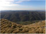 47
47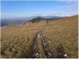 48
48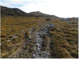 49
49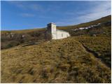 50
50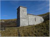 51
51