Hrastnik - Mrzlica (via Ravne)
Starting point: Hrastnik (290 m)
Starting point Lat/Lon: 46.1493°N 15.0852°E 
Path name: via Ravne
Time of walking: 3 h 5 min
Difficulty: easy marked way
Difficulty of skiing: partly demanding
Altitude difference: 832 m
Altitude difference (by path): 900 m
Map:
Access to starting point:
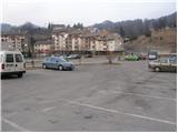
From Trbovlje or Laško we drive to Hrastnik, and then we continue driving in the direction of »Hrastnik center and village Čeče«. We follow this road to the spot where we notice signs for the ski slope Rajska dolina. Here we turn right and then already after a few meters we park on one of the numerous parking lots in Hrastnik.
Path description:
From the center of Hrastnik we continue on the asphalt road in the direction of the villages Boben and Čeče. We follow the road, which soon leaves Hrastnik and ascends along the Boben stream, to the beginning of the village Boben. At this spot we continue right, cross a bridge and continue the ascent in the direction of Kal and Mrzlica on the road which behind the houses changes into a first gently sloping cart track. The cart track quickly enters the forest, where it ascends along the pleasant stream, then turns left and steeply ascends.
The path soon passes from the forest onto expansive grassy slopes, over which we then ascend along an occasionally somewhat poorly visible footpath. Higher the path brings us to an asphalt road in the hamlet Ravne, through which we continue in the direction of Kal. A little further signs for Kal direct us right onto a poorer road which quickly changes into a pleasant footpath, along which we then ascend a partly grassy slope.
After a while the path brings us to a road, which we follow for only about 100 m to the left bend, in the middle of which a marked footpath branches off to the right. We continue the ascent on an initially wide cart track which brings us in a moderate ascent, mostly through the forest, to the spot where the path over Klobuk joins from the right.
We continue left, cross the road and continue ascending on a marked footpath which climbs over a panoramic grassy slope. Higher the steepness eases and the path joins a road, which we then follow all the way to the mountain hut on Kal.
From the hut we continue along its left side (direction of arrival) on the path which crosses the fence and enters the forest. After a few minutes of further walking we notice signs for the summit of Kal, which direct us left onto a somewhat steeper footpath, on which we climb to the summit in a few steps.
From Kal we descend to the other side on the path which already after a few steps brings us to the wide cart track that we left when ascending to the summit of Kal. We continue on the mentioned cart track which a little further starts to descend. After a few minutes of descent the path brings us from the forest onto a smaller saddle between Kal and Mrzlica.
We continue straight ahead, slightly uphill, and continue ascending along the edge of a larger grassy area. Higher the path turns somewhat to the right and ascends transversely through a sparse forest. Higher the steepness eases and after a few minutes of further walking the path brings us to the hut on Mrzlica.
From the mountain hut we can also ascend to the panoramic summit of Mrzlica in less than 5 minutes.
On the way: Planinski rudarski dom na Kalu (946m),
Kal (985m)
Pictures:
 1
1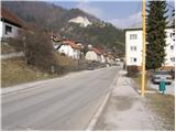 2
2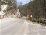 3
3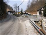 4
4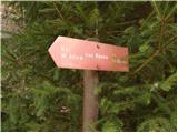 5
5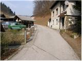 6
6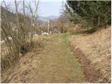 7
7 8
8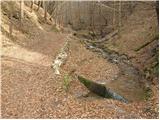 9
9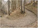 10
10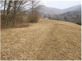 11
11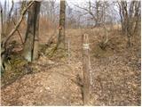 12
12 13
13 14
14 15
15 16
16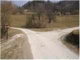 17
17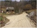 18
18 19
19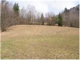 20
20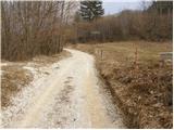 21
21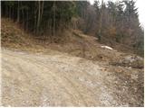 22
22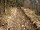 23
23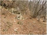 24
24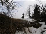 25
25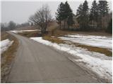 26
26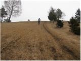 27
27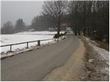 28
28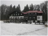 29
29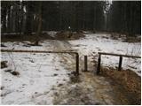 30
30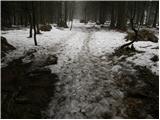 31
31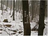 32
32 33
33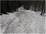 34
34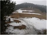 35
35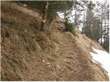 36
36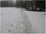 37
37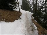 38
38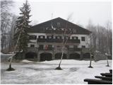 39
39 40
40