Hunting sports association Vinska Gora - Ramšakov vrh
Starting point: Hunting sports association Vinska Gora (650 m)
Starting point Lat/Lon: 46.3541°N 15.1758°E 
Time of walking: 1 h
Difficulty: easy marked way
Difficulty of skiing: no data
Altitude difference: 320 m
Altitude difference (by path): 320 m
Map:
Access to starting point:
Currently the road is closed due to repair works (the closure applies from the church onwards), information from 20.4.2011
From the Ljubljana - Maribor highway we take the Žalec exit, and then we continue driving towards Velenje. Still before Velenje, we leave the main road, because the signs for Vinska Gora direct us to the right onto a local road, which already after a few meters brings us to a crossroad. Here we continue left in the direction of the church of St. John the Baptist and we follow the ascending road to the mentioned church. From the church, we follow the signs for the hunting cottage (lovska koča), and on the still ascending road we drive to the hunting cottage, near which we park on an appropriate place.
Path description:
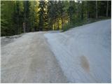
From the parking lot, we continue on a macadam road in the direction of Ramšakov vrh. After a few minutes of gentle walking we join the marked path from Vinska Gora, and we continue straight and follow the road to the farm Osredčan.
When the road ends, we continue on a cart track past the farm. Further, the cart track path leads through the forest and crosses slopes below Ramšakov vrh towards the east. When we come to a crossing on the eastern side of Ramšakov vrh we continue firmly to the left and we continue ascending for some time on a cart track. Later blazes from the cart track point us to the right on a footpath which ascends towards the ridge.
When we reach a forested ridge we continue left and follow an ascent on the ridge to the top of Ramšakov vrh.
Pictures:
 1
1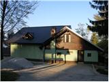 2
2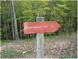 3
3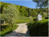 4
4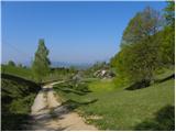 5
5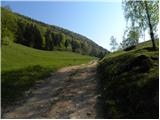 6
6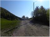 7
7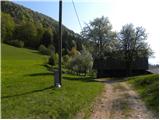 8
8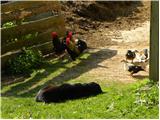 9
9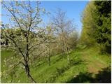 10
10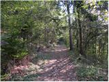 11
11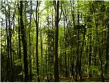 12
12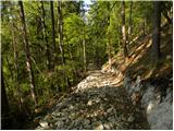 13
13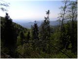 14
14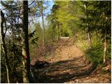 15
15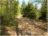 16
16 17
17 18
18 19
19 20
20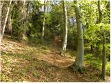 21
21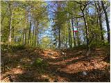 22
22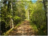 23
23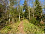 24
24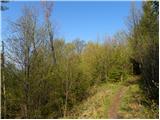 25
25 26
26