Starting point: Iška (337 m)
Starting point Lat/Lon: 45.931°N 14.5155°E 
Time of walking: 2 h 10 min
Difficulty: easy marked way
Difficulty of skiing: no data
Altitude difference: 770 m
Altitude difference (by path): 785 m
Map: Ljubljana - okolica 1:50.000
Access to starting point:
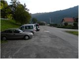
From the southern Ljubljana bypass, we head to the exit for the industrial zone Rudnik, and then we continue driving in the direction of Ig. At the main roundabout on Ig we continue "right" (direction Iški Vintgar and Iška vas), and then we continue on the main road towards Iški Vintgar. Immediately after Iška vas we arrive in the village Iška, where just before the intersection, where the road branches off sharply to the right towards Gornji Ig and Rakitna, we park on the parking lot by the road.
Path description:
At the crossroad in the immediate vicinity of the starting point we continue straight in the direction of the footpath to Krim. At first, we walk on an asphalt road towards Iški Vintgar, and then the blazes direct us to the right onto a cart track which bypasses the local residential house on the right side. Immediately after the house the path turns slightly left and starts ascending diagonally through the forest. Further on, we ascend diagonally for quite some time, and then at the cross the path turns a little to the right, where after a few minutes it brings us to the edge of the forest. Here the path turns left and continues through the forest. Only a little further, we bypass a lonely hut, behind which we step onto a macadam road.
Here the "demanding" path from Iški Vintgar joins from the left, and we continue on the road, which we follow in the direction of Krim at the next few successive crossroads.
At the cave Velika Pasica we leave the asphalt and continue to Krim first on a macadam road and higher on a cart track. The cart track a little higher (at the power line) crosses a wider macadam road, behind which it starts to ascend a little steeper. After a few minutes of moderate ascent we arrive at a marked junction, where we continue "straight" in the direction of Krim (left Iški Vintgar - normal path, right Strahomer).
The path ahead starts to ascend quite steeply along a partly rocky cart track, which we follow all the way to the road that leads to Krim. Here we cross the road and past a cross and military structures ascend to the mountain hut on Krim in less than 5 minutes.
On the way: Gornji Ig (636m)
Pictures:
 1
1 2
2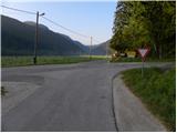 3
3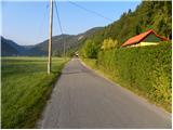 4
4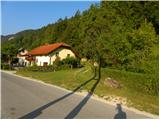 5
5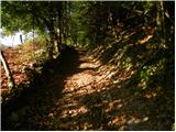 6
6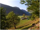 7
7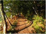 8
8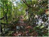 9
9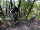 10
10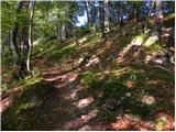 11
11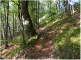 12
12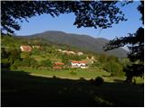 13
13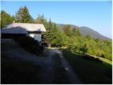 14
14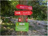 15
15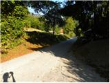 16
16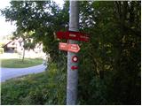 17
17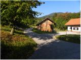 18
18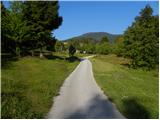 19
19 20
20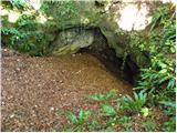 21
21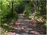 22
22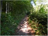 23
23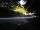 24
24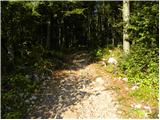 25
25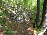 26
26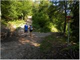 27
27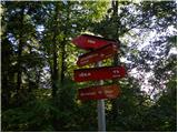 28
28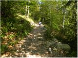 29
29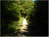 30
30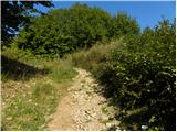 31
31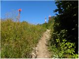 32
32 33
33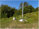 34
34 35
35 36
36 37
37