Ivarčko jezero - Uršlja gora (Plešivec) (via Kozji hrbet)
Starting point: Ivarčko jezero (633 m)
Starting point Lat/Lon: 46.5066°N 14.9689°E 
Path name: via Kozji hrbet
Time of walking: 3 h
Difficulty: easy marked way
Difficulty of skiing: no data
Altitude difference: 1066 m
Altitude difference (by path): 1066 m
Map: Koroška 1:50.000
Access to starting point:
A) From the Ljubljana - Maribor highway, take the Žalec exit, then continue driving in the direction of Velenje, Mislinja and Slovenj Gradec. In Slovenj Gradec at the traffic light (traffic light at the Lidl store) turn left, then at the crossroads follow the road in the direction of Ravne na Koroškem and Kotlje. From Slovenj Gradec the road ascends for a few kilometers, then descends to Kotlje, where at the crossroads continue left towards Ivarčko Lake (right Ravne na Koroškem). Further, follow the somewhat narrower road in the direction of Ivarčko Lake (also ski resort Ivarčko-Ošven), near which we park on one of the several arranged parking spots.
B) From Koroška first drive to Ravne na Koroškem, then continue driving towards the place Kotlje. From Kotlje onwards follow the signs for Ivarčko Lake and ski resort Ivarčko-Ošven. Park on the parking lot by the lake, or on the parking lot by the ski resort.
Path description:
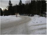
From the parking lot first walk to the nearby roundabout, from there continue to the lower station of the 4-seater chairlift. On the other side of the ski slope step onto the road, which in a gentle ascent brings us to a smaller hamlet. Walk between the houses, a somewhat narrower road quickly brings us to a crossroads, where we join a wider asphalt road, which we follow to the left. The road further ascends across a panoramic hayfield, then brings us to the edge of the forest, where there is a smaller crossroads and next to it a NOB monument.
Continue straight on the asphalt road, which higher turns right and crosses the bed of the Suha stream. Just a few meters after the bridge a marked path branches off to the left, which further ascends along the edge of the forest, higher enters dense forest and after a few minutes returns to the road. The road further ascends on the right side of the ravine (viewed in the direction of ascent), we follow it to the place where the ravine flattens. At this spot we will notice on the left a smaller wooden bridge, which we cross and continue the path on the cart track, which first gently ascends to the left, then turns right and gradually disappears. Continue along the edge of the forest and follow the poorly marked path to the asphalt road (to here also possible by road). Follow the road uphill, which quickly brings us to a signposted crossroads, where we continue right in the direction of Uršlja gora. Continue on the road leading towards Naravske Ledine, past the left branch-off where we go straight, follow it to the mountain direction signposts for Uršlja gora via Kozji hrbet. Here continue left and first ascend along a tractor track, which soon crosses a forest road. Continue on the marked path, which gradually begins to ascend more steeply. The path then passes onto the northwestern ridge of Uršlja gora (Kozji hrbet) along and beside which we ascend relatively steeply. Higher cross another cart track, then after approximately half an hour of further walking join the path from Naravske Ledine.
From the junction continue in the direction of Uršlja gora and ascend steeply for some time more. Higher the path flattens, the forest thins, so beautiful views begin to open. Follow this path, which a little below the summit finally exits the forest onto a panoramic slope, all the way to the 1699 m high summit.
From the summit we can descend in a few minutes to the nearby mountain hut and the church of St. Ursula.
Pictures:
 1
1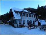 2
2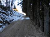 3
3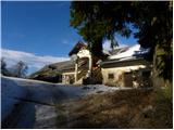 4
4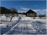 5
5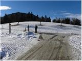 6
6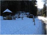 7
7 8
8 9
9 10
10 11
11 12
12 13
13 14
14 15
15 16
16 17
17 18
18 19
19 20
20 21
21 22
22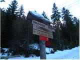 23
23 24
24 25
25 26
26 27
27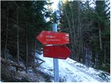 28
28 29
29 30
30 31
31 32
32 33
33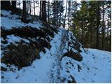 34
34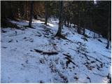 35
35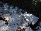 36
36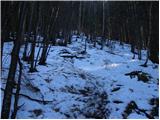 37
37 38
38 39
39 40
40 41
41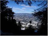 42
42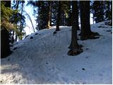 43
43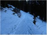 44
44 45
45 46
46 47
47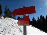 48
48 49
49 50
50 51
51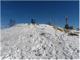 52
52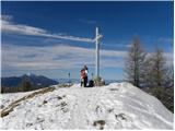 53
53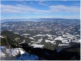 54
54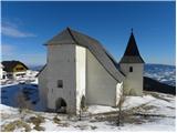 55
55 56
56