Jermanca - Planjava (via Repov kot)
Starting point: Jermanca (900 m)
Starting point Lat/Lon: 46.3349°N 14.5848°E 
Path name: via Repov kot
Time of walking: 4 h 30 min
Difficulty: difficult pathless terrain
Difficulty of skiing: no data
Altitude difference: 1492 m
Altitude difference (by path): 1492 m
Map: Kamniške in Savinjske Alpe 1:50.000
Access to starting point:
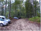
We drive to Kamnik and follow the road ahead towards the valley of Kamniška Bistrica. From the hut in Kamniška Bistrica we continue driving on the forest road which higher brings us to a crossroad, where we continue right towards Jermanca (straight starting point for Kokrsko sedlo). This occasionally a little more steep road we follow to a parking lot, which is located little before the end of the road.
Driving from the mountain hut in Kamniška Bistrica to Jermanca is now forbidden (traffic sign), this extends the path for a good hour.
Path description:
From the parking lot, we continue on a narrower road which soon changes into a footpath. Further, we through the forest cross a slope on the left side of the valley and then we soon join a marked path from Kamniška Bistrica (lower starting point). We still in a gentle ascent cross a slope towards the northeast and the path brings us to a crossing V Klinu. The marked path towards the saddle Kamniško sedlo here turns left upwards (by the path there are also signposts), and we continue slightly right on an unmarked path. At the beginning of this path is large caption »Pot ne vodi na K. sedlo« (Path doesn't lead on Kamniško sedlo).
Further, the path starts ascending a little steeper and runs through the forest on the left side of the valley. Few times from the path right downwards narrow footpath branches off, and we all the time walk on a better beaten footpath which all the time runs on the left side of the valley. Later, when the path brings us out of the forest, we will when is enough water in the stream on the right notice a waterfall. After that, the path crosses slightly exposed slope to the right, and we also get help from some iron spikes. Here we will on the right side in riverbed of the stream notice few pools. We continue left and we again start ascending through the forest and dwarf pines. When we come out of the forest, the path brings us to a crossing, where we continue right on a narrow footpath through dwarf pines. Near the crossing on the left side there is a lone tree, if we would continue left path after few meters brings us on a panoramic ridge.
Out of the dwarf pines the path leads us over short scree and then crosses rocky plates. The path still runs on the left side of the valley and in the last part turns slightly to the right. Here the path becomes a little steeper and some easy climbing is needed (1st grade). The path on this part is also a little poorly visible and we get help from some cairns. At the last ascent towards the saddle Srebrno sedlo the path avoids steepness on the right side.
On the saddle Srebrno sedlo where we join the marked path we continue left. Next follows traversing of slopes towards the west, which we overcome in a moderate ascent. Ahead we come to the next crossing, where we continue right towards the summit of Planjava (left saddle Kamniško sedlo). And from increasingly panoramic path also green meadows finally end, which are replaced by gray rock. A little below the summit join also secured paths path from Klemenča jama and saddle Kamniško sedlo. Follows only a shorter ascent on the upper slope of the mountain.
On the way: Srebrno sedlo (2115m)
Pictures:
 1
1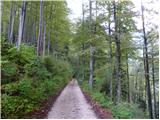 2
2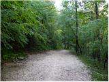 3
3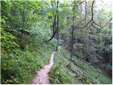 4
4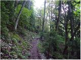 5
5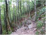 6
6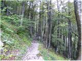 7
7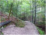 8
8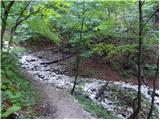 9
9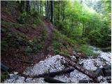 10
10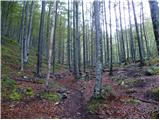 11
11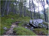 12
12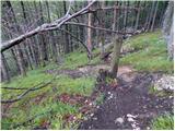 13
13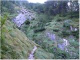 14
14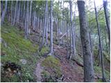 15
15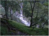 16
16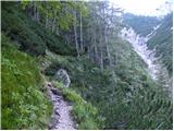 17
17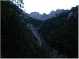 18
18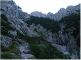 19
19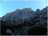 20
20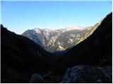 21
21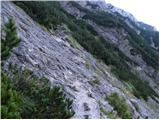 22
22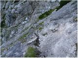 23
23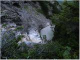 24
24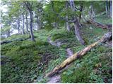 25
25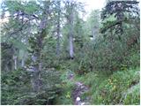 26
26 27
27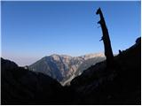 28
28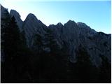 29
29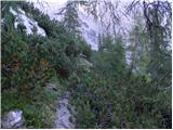 30
30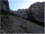 31
31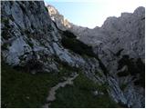 32
32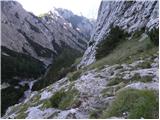 33
33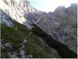 34
34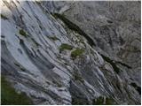 35
35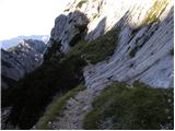 36
36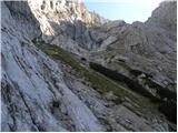 37
37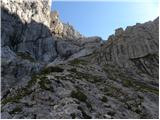 38
38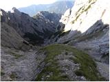 39
39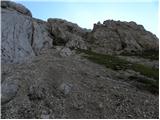 40
40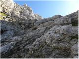 41
41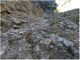 42
42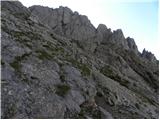 43
43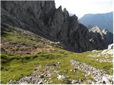 44
44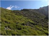 45
45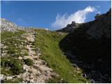 46
46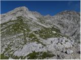 47
47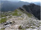 48
48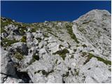 49
49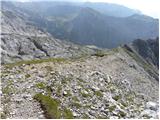 50
50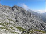 51
51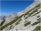 52
52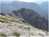 53
53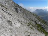 54
54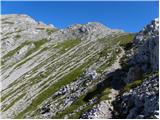 55
55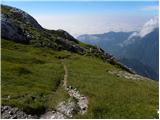 56
56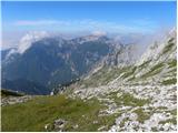 57
57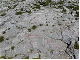 58
58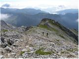 59
59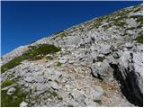 60
60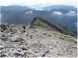 61
61 62
62