Jezero Sobote / Stausee Soboth - St. Leonhard (at Soboth)
Starting point: Jezero Sobote / Stausee Soboth (1080 m)
Starting point Lat/Lon: 46.67793°N 15.03926°E 
Time of walking: 20 min
Difficulty: easy marked way
Difficulty of skiing: no data
Altitude difference: 75 m
Altitude difference (by path): 75 m
Map:
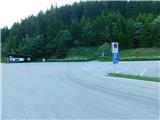
Access to starting point:
Path description:
Pictures:
 1
1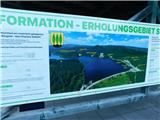 2
2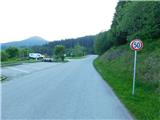 3
3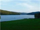 4
4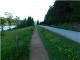 5
5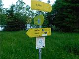 6
6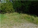 7
7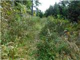 8
8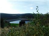 9
9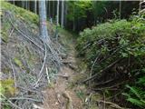 10
10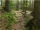 11
11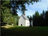 12
12