Starting point: Jurišče (704 m)
Starting point Lat/Lon: 45.6642°N 14.295°E 
Time of walking: 1 h 30 min
Difficulty: easy marked way
Difficulty of skiing: easily
Altitude difference: 387 m
Altitude difference (by path): 387 m
Map: Snežnik 1:50.000
Access to starting point:
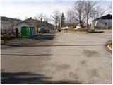
From highway Ljubljana - Koper we go to the exit Postojna and follow the road ahead in the direction of Pivka. In the settlement Pivka we leave the main road which runs towards Ilirska Bistrica and we continue driving towards Knežak. We follow this road to the village Parje, where we turn left in the direction of village Palčje and Jurišče. Mostly slightly ascending road, we then follow to the village Jurišče, where we park nearby the information board.
Path description:
From the parking lot, we continue past a smaller memory park on the road in the direction of Kršičevec. The road which soon loses an asphalt covering quickly brings us to a smaller crossroad, where we continue on the left bottom road (by right road is situated a smaller cross), which continues on the left side of the fence. And only a little further we come on a well-marked crossing, where the path branches off to the left towards Bele stene, and we continue straight on an increasingly bad road which still continues along the fence. The road then at the next cross finally changes into a cart track which is further gently ascending on a wide grassy slopes. A well-marked cart track which has few smaller crossings higher brings us into a lane of a forest, where it starts ascending a little steeper.
Higher, we cross the forest road and we still continue the ascent on a cart track which soon brings us to the linden tree (tree with numerous trunks). Cart track, which is becoming narrower soon comes out of the forest on the more and more panoramic slopes. And the mentioned cart track, we leave at the bench, where a signpost points us left upwards. The path which ahead becomes steeper only few steps higher brings us to a smaller crossing, where a barely visible footpath towards the cave Mrzla jama branches off to the right. Here we continue straight on an increasingly panoramic path, which through a lane of a low forest and short scree brings us on the upper grassy slope of the mountain. A pleasant footpath on which steepness quickly decreases then brings us to the panorama board from which a breathtaking view opens up.
From here we continue on a gently sloping path, which after less than 5 minutes of additional walking, brings us to the summit of Kršičevec.
Pictures:
 1
1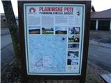 2
2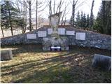 3
3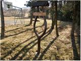 4
4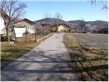 5
5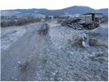 6
6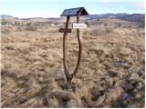 7
7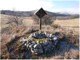 8
8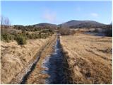 9
9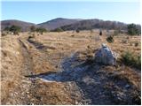 10
10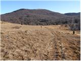 11
11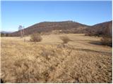 12
12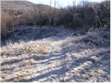 13
13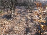 14
14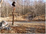 15
15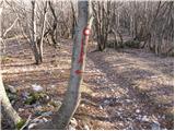 16
16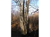 17
17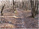 18
18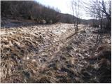 19
19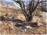 20
20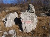 21
21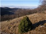 22
22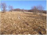 23
23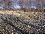 24
24 25
25 26
26 27
27 28
28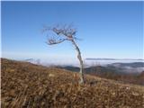 29
29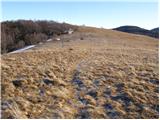 30
30 31
31